Want to have a peek at the final phase of a conservation and pollution mitigation project that is restoring more than a mile of impaired stream and floodplain? Well, you’re in luck.
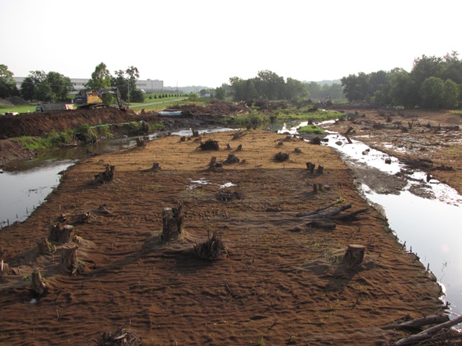
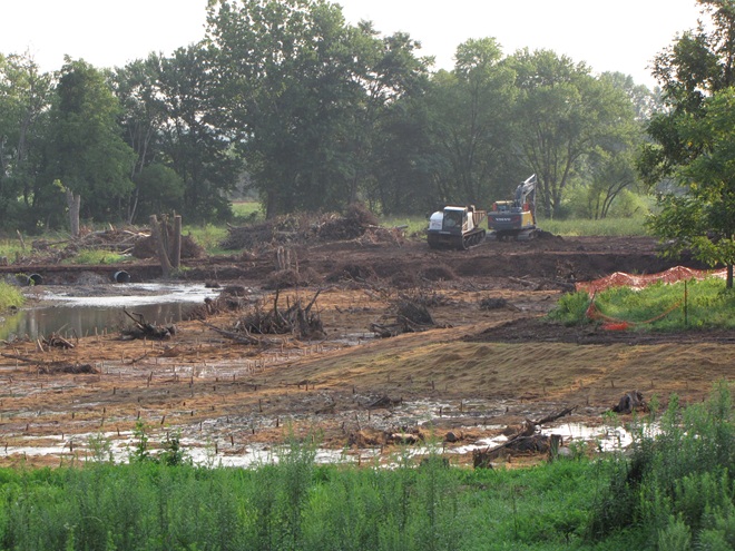
Legacy sediments, those nasty nutrient-loaded soils that accumulated as runoff behind the hundreds of man-made dams in the lower Susquehanna valley, are currently being removed from a segment of the Conewago Creek (east) along the border between Dauphin and Lancaster Counties. Work is presently underway just upstream of PA Route 230 adjacent to the trailhead for the Lancaster County Parks Conewago Recreation Trail. Much of this multi-stage project is located on Lancaster Conservancy property. We donned our safety vests and checked it out from roadside.
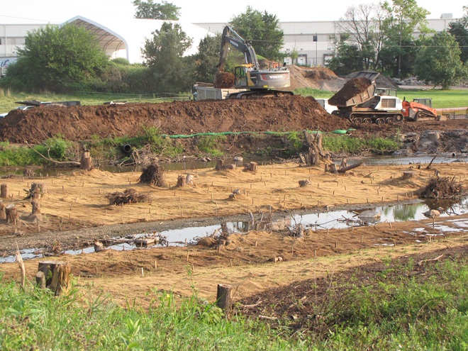
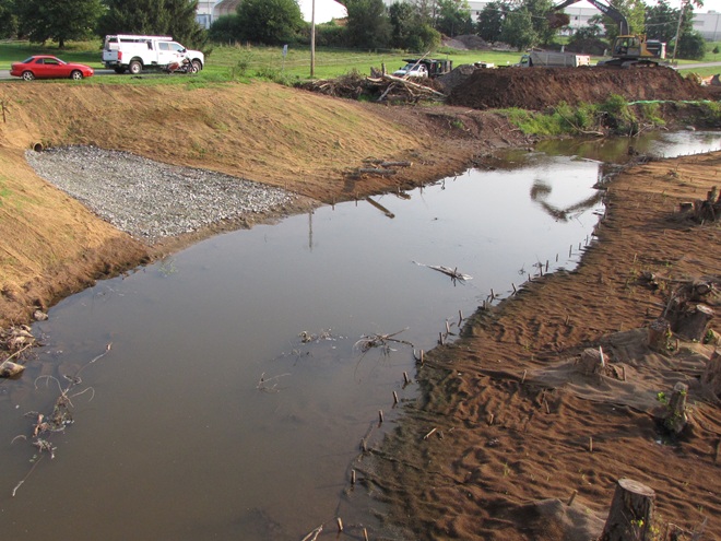
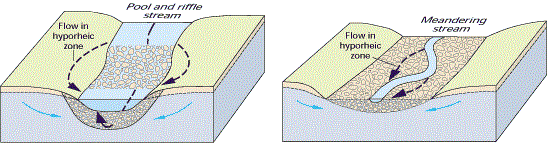
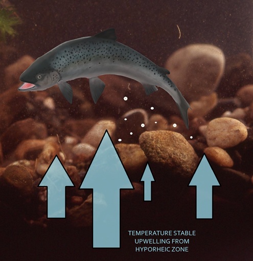
Legacy sediments that for more than a century displaced storm waters into previously unaffected areas of the surrounding landscape are being removed along this stretch of Conewago Creek upstream from PA Route 230 between Middletown and Elizabethtown. Previously trapped between banks of eroding mud, the creek is being restored to a natural braided channel configuration that feeds overflow during storm events into adjoining wetlands that not only sequester nutrients, but return water to the aquifer.The absence of soil conservation practices prior to the 1930s allowed all this nutrient-rich dirt to wash into and choke the floodplain. As it is excavated, the track-equipped dump truck uses the temporary bridge to cross the waterway and haul away legacy sediment, just one load at a time. It’s a big endeavor. Several years ago, more than one thousand loads were removed to restore the stretch of floodplain visible beyond the trees in the background. This phase of the project will do the same.At roadside, nutrient-rich legacy sediment is transferred to road-worthy trucks for transport to a staging area or directly to a place for reuse. Soils recovered from earlier projects have been incorporated into athletic fields, community gardens, backstops at gun ranges, landfill reclamation, and reinvigoration of the farmlands from whence they came.Legacy sediment removal and floodplain restoration can benefit the municipalities where these projects are implemented, helping them meet MS4 (Municipal Separate Storm Sewer System) stormwater regulations. During construction, outflows like the one seen here are withdrawn from the edge of the stream to instead use the floodplain’s wetlands to diffuse discharge energy and potentially purify and infiltrate the runoff.These projects do much more than just reduce the nutrient and sediment loads in waters that flow downstream to the Susquehanna and Chesapeake. For local aquifers and aquatic organisms, removing substrate-choking legacy sediment restores function to the hyporheic zone, the area that allows the bidirectional exchange of groundwater and creek water through porous stream substrates and the soils surrounding the waterway’s pools, riffles, and channels. (United States Geological Survey image)Did you ever walk in a creek or river on a hot summer day and suddenly discover a spot where the temperature of the water feels much cooler than the water surrounding it? That’s a hyporheic upwelling. For their nests, trout, shad, and many other egg-laying fishes seek out areas of pebbly stream substrate where upwelling from hyporheic exchange provides stable temperature conditions and ample oxygen for embryogenesis. Legacy sediment removal that results in the restoration of hyporheic zones often benefits many species of breeding fishes, particularly those requiring coolwater and coldwater conditions for reproduction.