Take a Deep Breath This Independence Day Weekend

The gasoline and gunpowder gang’s biggest holiday of the year has arrived yet again.  Where does all the time go?

In observance of this festive occasion, we’ve decided to take a look at all the stuff that’s floating around in the atmosphere before all the motor travel, celebratory fires, and exciting explosions get underway.

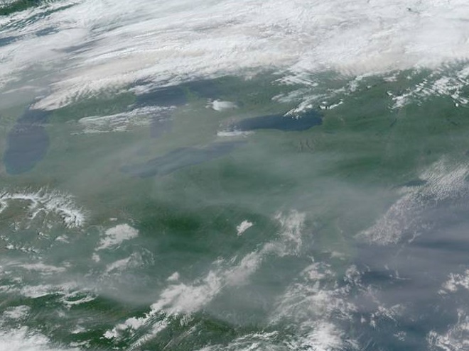
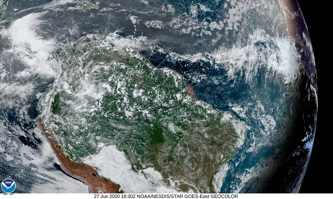
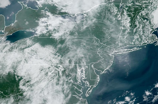
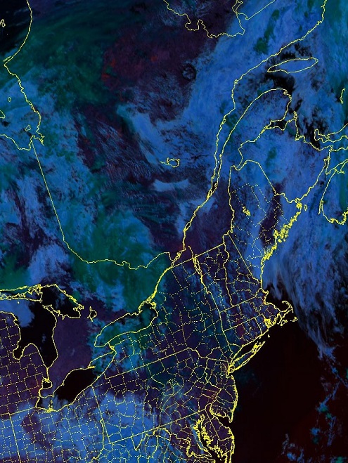
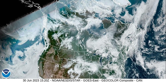
We’ll start with the smoke from wildfires in Canada…

In the margins between the water vapor clouds, a smoky haze can be seen across the Mid-Atlantic States this morning.  To warn residents of the potential health impacts, air quality alerts have been issued by numerous state and local agencies.  (NOAA/GOES image)
Near the top of this image, ember-red areas denote the locations of some of the hottest forest fires presently burning in remote portions of northern Quebec.  (NOAA/GOES Fire Temperature Composite image)
Wildfires are now burning in every province in Canada.   Note the smoky haze that is visible between the water vapor clouds as it drifts from Alberta, Manitoba, and Saskatchewan through the Great Lakes and into the Mid-Atlantic States.  (NOAA/GOES image)

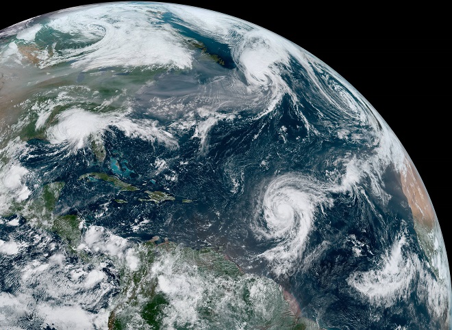
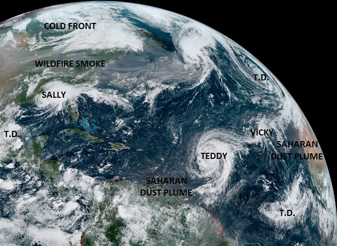
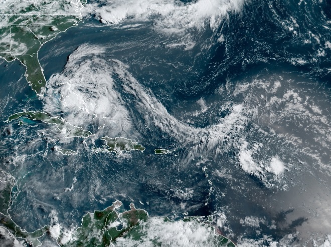
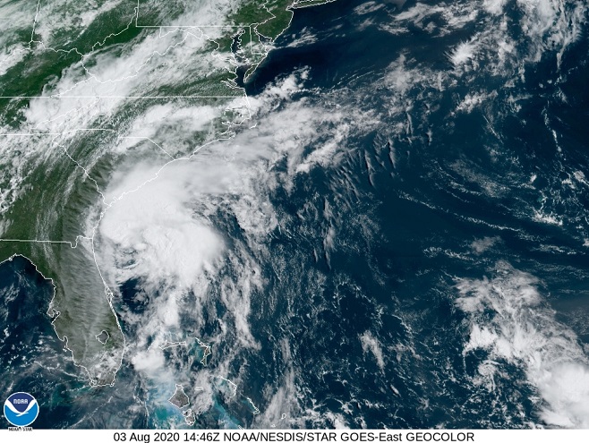
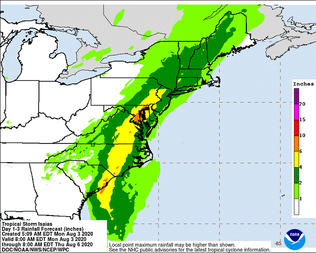
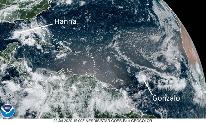
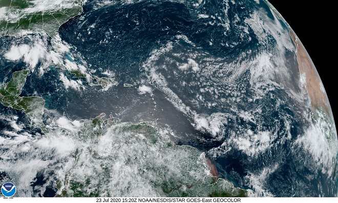
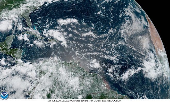
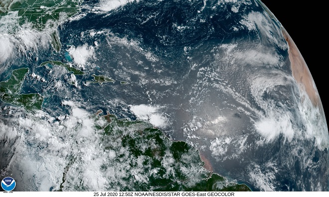
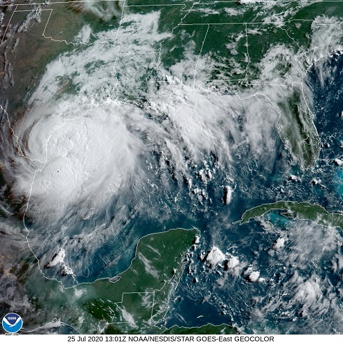
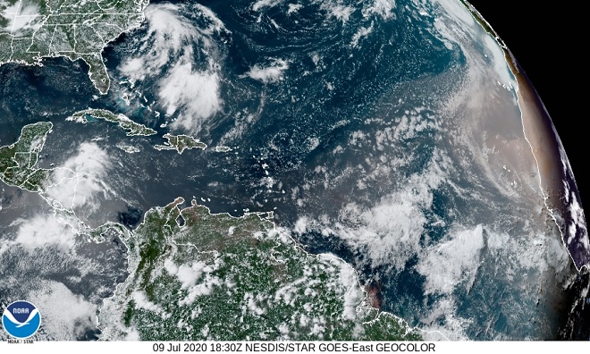
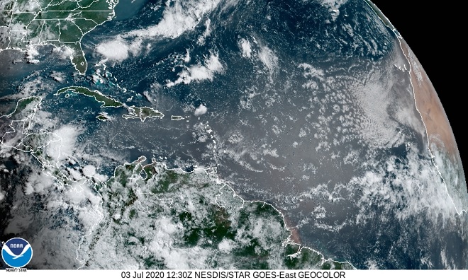
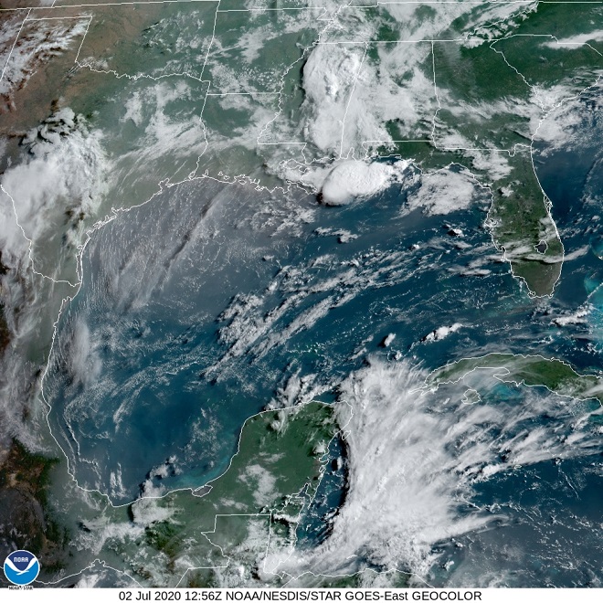
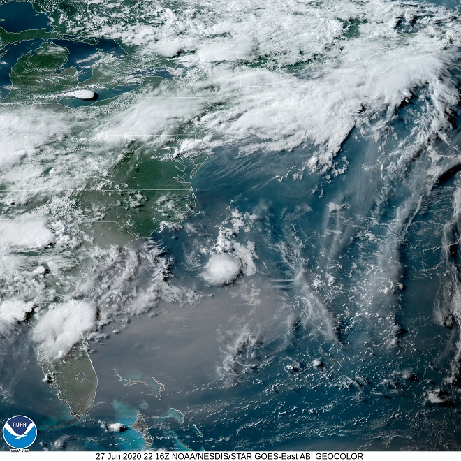
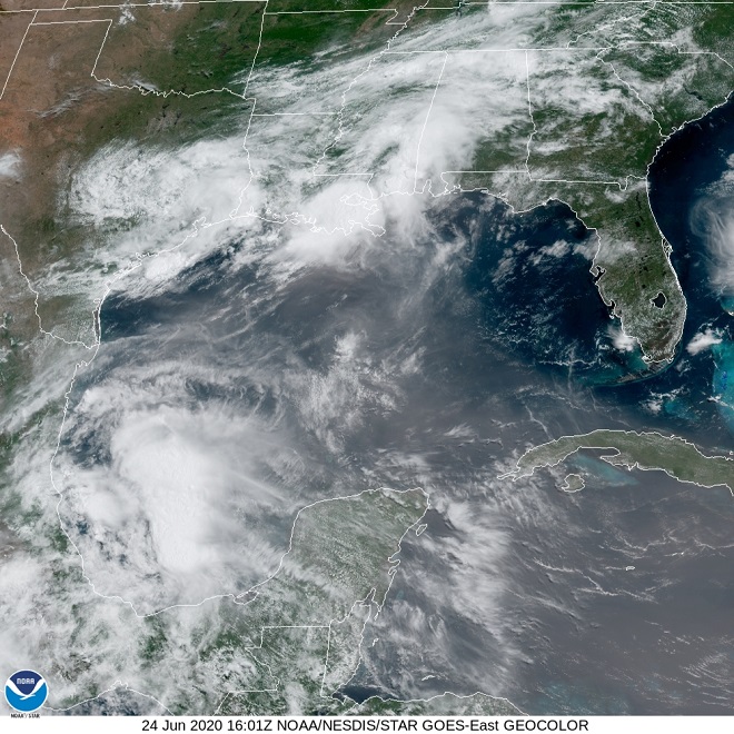
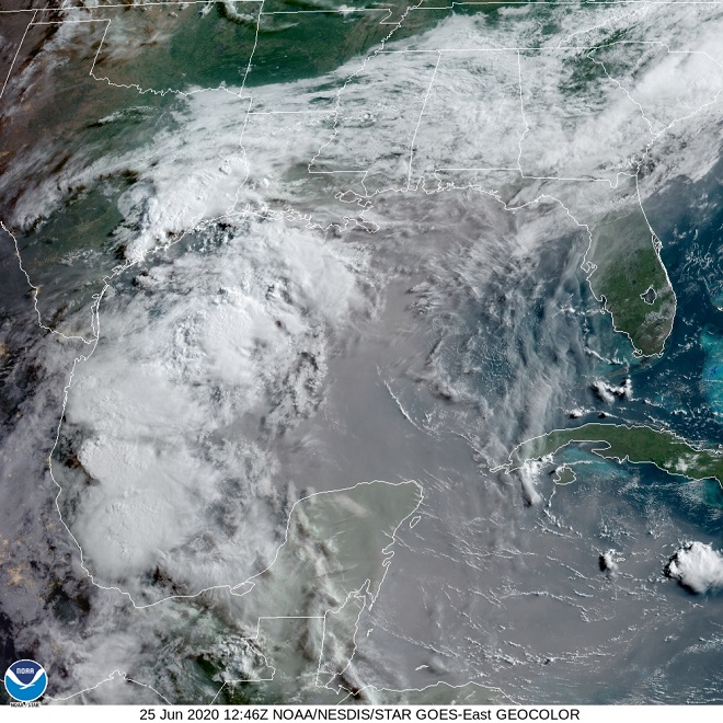
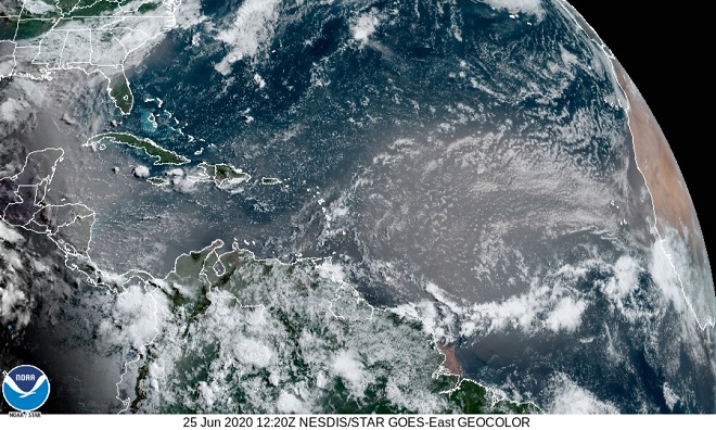
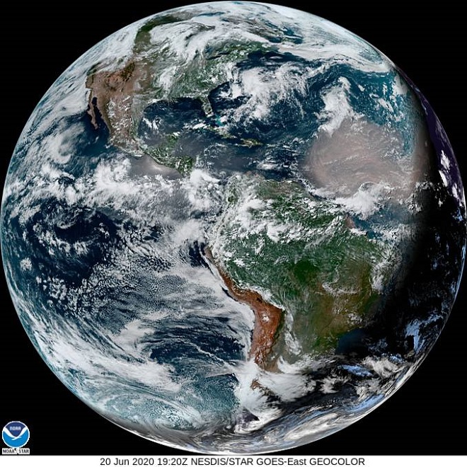
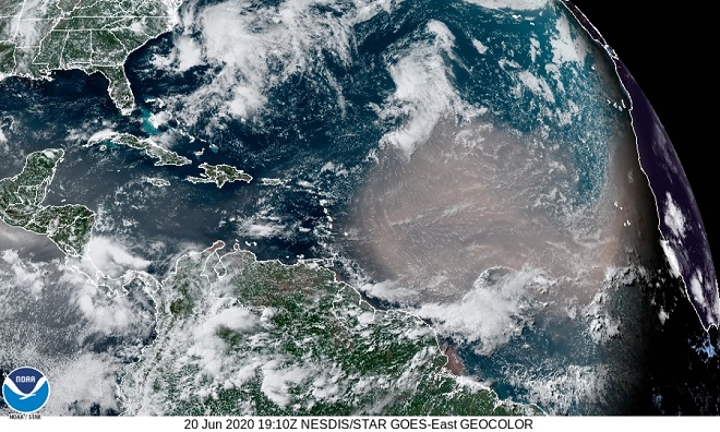
If you think that smoke accounts for all the particulate matter now obscuring skies in the northern half of the western hemisphere, then have a gander at this…

As it often does at this time of year, dust from the Sahara Desert in northern Africa is blowing into the Caribbean Islands and Amazonia.  This morning’s full-disk satellite image shows both the smoke from wildfires in Canada and a well-defined earth-tone cloud of desert dust streaming west across the Atlantic from Africa.  (NOAA/GOES image)

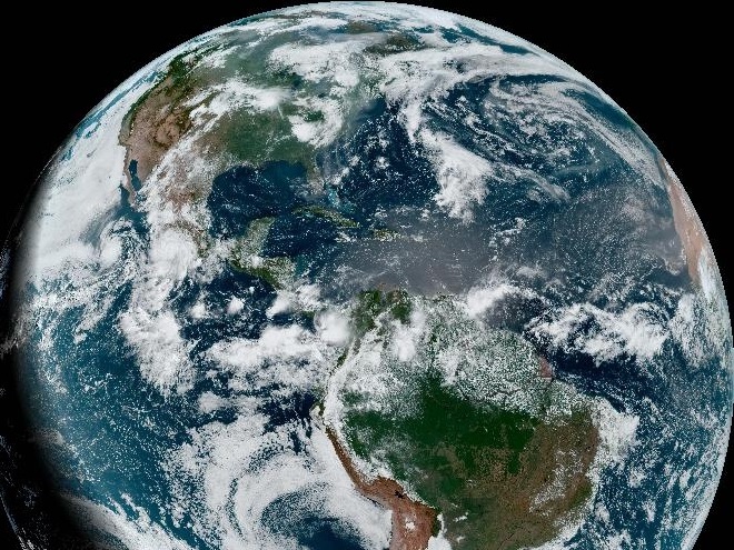
As you can see, natural processes are currently providing a plentiful load of particulates in our skies.  There’s no real need to aggravate yourself and the situation by sitting in traffic or burning your groceries on the barbecue.  And you can let those cult-like homeowner chores for later.  After all, running the mower, whacker, and blower will only add to the airborne pollutants.  While celebrating this Fourth of July, why risk mangling fingers on your throwing hand or catching the neighbor’s house on fire when you could just relax and quietly eat ice cream or watermelon?  Yeah, that’s more like it.

Smoke from a Distant Fire

Have a look at these images of the smoke plume being generated by fires in forests and other wildlands in the western United States.

Smoke from enormous wildfires located primarily in California and Oregon obscures ground features across the Mid-Atlantic States this morning.  Lake Ontario and the Finger Lakes of New York are the most readily identifiable landmarks in the center of the image.  The Lower Susquehanna River Watershed is indiscernible beneath the dense blanket of haze.  (CIRA/NOAA image)
This morning’s satellite image of the United States and the North Atlantic looks like an illustration one might find in a meteorology textbook showing examples of a variety of extreme atmospheric phenomena.  There’s something going on everywhere.  (CIRA/NOAA image)
Here we’ve labeled the major stuff.  There are two hurricanes (Sally and Teddy), a tropical storm (Vicky), and three tropical depressions, each labeled “T.D.”.  A strong cold front in central Canada is making its way toward the eastern United States.  Dust from the Sahara continues to stream into the Americas and the gray-brown plume of smoke from wildfires in the Pacific Coast States stretches thousands of miles east into the North Atlantic.  (CIRA/NOAA base image)

While viewing these amazing images, consider for a moment the plight of migrating birds.  Each one struggles to survive the energy-depleting effects of wind, distance, storm, cold, drought, dust, and sometimes even smoke as it strives to reach its breeding grounds each spring and its wintering grounds each fall.  Natural and man-made effects can cause migrating birds to become disoriented.  Songbirds are known to become lost at sea.  Others strike objects including buildings and radio towers, particularly when visibility is impaired.  The dangers seem endless.

Neotropical migrants must somehow navigate the maze of perils that lie between their breeding grounds in the north and their wintering habitats in tropical climates (designated here using blue stars).  (CIRA/NOAA base image)

For migrating birds, places of refuge where they can stop to feed and rest during their long journeys are essential to their survival.  For species attempting flights through conditions as extreme as those seen in these images, there is the potential for significant loss of life, particularly among the birds with less than optimal stores of energy.

During their southbound autumn migration to tropical wintering grounds in Central America, some Ruby-throated Hummngbirds will attempt a non-stop flight across the Gulf of Mexico, a route requiring maximum stores of energy.  Keep those feeders clean and full of fresh provisions!

Get Out of the Floodplain…And Get Your Stuff Out Too!

After threading its way through waves of Saharan dust plumes, Tropical Storm Isaias, or the remnants thereof, is making a run up the eastern seaboard toward the lower Susquehanna watershed.

Isaias formed just off the northernmost tip of the South American continent.  It drifted north in a narrow pocket between two waves of the Saharan dust plume and, on July 30, strengthened to tropical storm status while in the vicinity of Puerto Rico.  (CIRA/NOAA image)
In this image taken on Friday, note the position of the fast-moving dust plume that was to the southeast of Isaias just a day earlier.  With the storm now clear of the dry Saharan air, it strengthens to become Hurricane Isaias.  (CIRA/NOAA image)
On Friday, the National Hurricane Center issues advisors expecting the strengthening Isaias to sweep the Atlantic coasts of Florida, Georgia, and South Carolina as a hurricane with winds of 74 miles per hour or greater.  (NOAA/National Hurricane Center image)
Then on Saturday, Isaias appears to be back in the dirt.  Did the counterclockwise rotation of the atmosphere around Isaias draw in Saharan dust and dry air to weaken the storm?  Whatever the cause, Isaias is downgraded to a strong tropical storm with maximum sustained winds of 70 miles per hour.  (CIRA/NOAA image)
The latest image of Tropical Storm Isaias.  (CIRA/NOAA image)
The latest forecast projects Isaias will briefly reach hurricane status later today before making landfall in South Carolina and again weakening.  (NOAA/National Hurricane Center image)
Tropical Storm Isaias is expected to bring heavy rain to the lower Susquehanna valley and the Cheapeake Bay region tomorrow (Tuesday).  (NOAA/National Hurricane Center image)

Heavy rain and flooding appears likely, particularly east of the Susquehanna.  Now might be a good time to clean up the trash and garbage that could clog nearby storm drains or otherwise find its way into your local waterway.  NOW is the time to get all your stuff out of the floodplain!  The car, the camper, the picnic table, the lawn furniture, the kid’s toys, the soda bottles, the gas cans, the lawn chemicals, the Styrofoam, and all that other junk you’ve piled up.  Get that stuff cleaned up and out of the floodway.  And of course, get you and your pets out of the there too!

Saharan Dust Cloud: A Tale of Two Tropical Storms

Have a look at the effect of the Saharan dust event of 2020 on tropical storm and hurricane development…

Wednesday-  Earlier in the week, Tropical Storm Gonzalo developed in the Atlantic Ocean along the south edge of a gap between two waves of Saharan dust.  Forecast models predicted Gonzalo would strengthen to a hurricane as it moved west into the Caribbean Sea in the coming days.  A tropical depression in the Gulf of Mexico was also being monitored.  Should it intensify, it would be named Tropical Storm Hanna.  (CIRA/NOAA image)
Thursday-  Tropical Storm Gonzalo continues its westward track.  Note the pinching of the two waves of Saharan dust around its north side.  In the gulf, soon-to-be Tropical Storm Hanna gathers strength over the warm water, free of the convective restrictions imposed by Saharan dust.  (CIRA/NOAA image)
Friday-  Tropical Storm Gonzalo is caught in the pinch of Saharan dust, diminishing its potential for growth.  The system’s feeder bands are nearly gone.  The forecast is downgraded; Gonzalo is expected to remain a tropical storm during its passage through the Caribbean.  Looking more robust, Tropical Storm Hanna approaches the coasts of Texas and Louisiana.  (CIRA/NOAA image)
Saturday-  With upper-level convection subdued by an overcast of Saharan particulates and dry desert air, Tropical Storm Gonzalo is becoming less organized and is forecast to be downgraded to a tropical depression within 24 hours.  (CIRA/NOAA image)
Meanwhile, Tropical Storm Hanna has strengthen to Hurricane Hanna.  A humid atmosphere free of a dense plume of Saharan dust has allowed this storm to develop towering cloud convection, visible here just off the coast of Texas.  (CIRA/NOAA image)

Saharan Dust Cloud: Out of the Loop

Dust continues to be carried aloft on dry updrafts over the Sahara Desert.  The plume is presently stretching for thousands of miles due west across the tropical Atlantic into the Pacific, leaving the United States out of the loop—at least for now.

(CIRA/NOAA image)

With no dry air to spoil the fun, the warm waters of the Gulf Stream off the coast of North Carolina are spawning some convective clouds in a low pressure system that could become tropical within the next day or so.

Tropical or not, it looks like a rainy weekend along the Mid-Atlantic coast.  (CIRA/NOAA image)

Now that the heat and humidity is upon us, why not get out and take a look at the damselflies and dragonflies that inhabit the ponds, wetlands, and waterways of the lower Susquehanna watershed?  These flying insects thrive in sultry weather and some species will breed in a body of water as small as a garden pond—as long as it is free of large fish.  Check out some of the species found locally by clicking on the “Damselflies and Dragonflies” tab at the top of this page.  We’ll be adding more photos and species soon.

A Halloween Pennant.  Ooh, scary.

Saharan Dust: Atlantic to Pacific

The overcast of Saharan dust that was as close to the Susquehanna valley as the Appalachians of Virginia and West Virginia has, for now, dissipated.  This week, the plume of particulates followed a hairpin route originating with the Saharan updrafts, then flowing across the Atlantic and Caribbean only to make a 180-degree turn along the coastal areas of the Gulf of Mexico to return to the Atlantic via Florida, where it then drifted northeast—loosely following the path of the Gulf Stream.

The hairpin route of the Saharan dust cloud in the Atlantic.  (CIRA/NOAA image)
A 180-degree turn as the plume passes over the Yucatan Peninsula and shorelines along the Gulf of Mexico to cross Florida and reenter the Atlantic. (CIRA/NOAA image)

During the last several days, portions of the dust layer have been carried due west across Mexico into the Pacific.

Portions of the Saharan dust plume entering the Pacific Ocean off Mexico.  (CIRA/NOAA image)

For the Susquehanna region, a low pressure system is in place for Independence Day.  In the image below, the cloud of hazy humid air seen blanketing the northeast coast  consists of air pollution, pollen, mold spores,  “domestic particulates”, condensing water vapor—and little if any red-brown Saharan dust.  For the gasoline and gunpowder gang, it’ll be a sticky-hot summer weekend for the celebration of their favorite holiday.  Kaboom!

An opaque film of humid air over the Mid-Atlantic States and a diluted plume of Saharan dust drifting northeast after crossing Florida.  (CIRA/NOAA image)

Saharan Dust Plume Approaching the Mid-Atlantic States

The latest satellite image shows the Saharan dust cloud now covering much of the southern United States including most of West Virginia and the Appalachians of North Carolina and Virginia.  Due to the density of the particulate matter, air quality warnings have been issued by the National Weather Service for South Carolina, western North Carolina, and the Atlanta metro area.

As the plume of dust drifts east from the southern United States into the Atlantic…

(CIRA/NOAA image)

…yet more can be seen coming west from the African Sahara into the Caribbean Sea.  It ain’t over til’ it’s over.

(CIRA/NOAA image)

Saharan Dust Cloud Arrives on Gulf Coast

The Saharan dust cloud made its way across the Caribbean Sea and the Gulf of Mexico to reach the skies above the shores of the United States by mid-day yesterday.  There, as seen in the image below, the dusty air mass encountered a storm that caused heavy rains and flooding in Louisiana.

(CIRA/NOAA image)

By this morning, the leading edge of the dust cloud encircled the gulf coastline and had spread east across northern Florida into the Atlantic.  The latest satellite image (below) shows a dense dry core of the system covering the western Caribbean, the central gulf, and the Yucatan Peninsula.

(CIRA/NOAA image)

For the eastern Caribbean, there is a break in the action.  But a second wave is on the way.

(CIRA/NOAA image)

Start watching the skies.  Look for any increase in haze during the coming days.  Then too, it might be interesting to compare the sunsets for one evening to the next.  Over successive nights, take note of the stars and planets in the night sky.  If the Saharan dust reaches the lower Susquehanna region with sufficient density, you may find that only the brightest celestial objects are discernible.

Saharan Dust Cloud Update

(CIRA/NOAA image)

Dust carried aloft by hot dry air over the Sahara Desert continues to stream west into the Caribbean Sea.  In this image, a dense band of the airborne particles can be seen passing over the Dominican Republic, Puerto Rico, and the Leeward Islands.  North of these islands, note the development of puffy white clouds outside the border of the dust storm.  The Saharan air mass appears to be effectively limiting convective cloud development within much of its course.  No hurricanes for now.

What is the impact of the Saharan dust cloud on the affected islands?  In Puerto Rico, the National Weather Service is forecasting visibility of four to eight miles in widespread haze through at least the next twenty-four hours.  For the coming several days, the forecast daily high temperatures are expected to be in the low eighties—several degrees cooler than the normal high eighties and low nineties.

Stay tuned, we’ll keep an eye on the plume as it moves into the Gulf of Mexico.

Dirty Summer 2020?

Summer is nigh upon us.  With the solstice just hours away, it might be fun to have a look at a satellite view of the earth while the south pole lies plunged into days of endless night, and the north pole suffers none.

(CIRA/NOAA image)

In the image above, darkness can be seen engulfing the southern Atlantic Ocean and southernmost Chile.  The latter is the longitudinal equivalent of the lower Susquehanna valley.  Today, it experiences nightfall more than five hours earlier than we, heralding the first day of our summer, and of their winter.

Just to the north of the South American continent, note the enormous tan-colored cloud over the Atlantic.  What is that?  From whence doth that cloud come?

(CIRA/NOAA image)

Closer inspection reveals an enormous plume of dust rising from the Sahara Desert in Africa and drifting west approaching the Leeward Islands of the Caribbean.  (In the image above, Africa can be seen outlined in the darkness along the east horizon)  Look closely and you’ll notice that the dust is obscuring the white clouds below it, indicating that it has reached altitudes high in the atmosphere.  Particle fallout from Saharan dust clouds is known to fertilize tropical forests—including the Amazon (bottom center of image).  Because they are composed of wind blown particles and not water vapor, Saharan dust clouds carry aloft not only minerals and nutrients, but microscopic and macroscopic life too.

Is this particular Saharan dust cloud going to impact the Amazon?  What might the meteorological and biological effects of this cloud be if it continues into the Caribbean and even into the United States?  Might we be showered by little pieces of the Sahara this summer?  Will we see spectacular sunrises and sunsets?  Time will tell.