
LIFE IN THE LOWER SUSQUEHANNA RIVER WATERSHED
A Natural History of Conewago Falls—The Waters of Three Mile Island
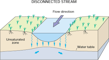
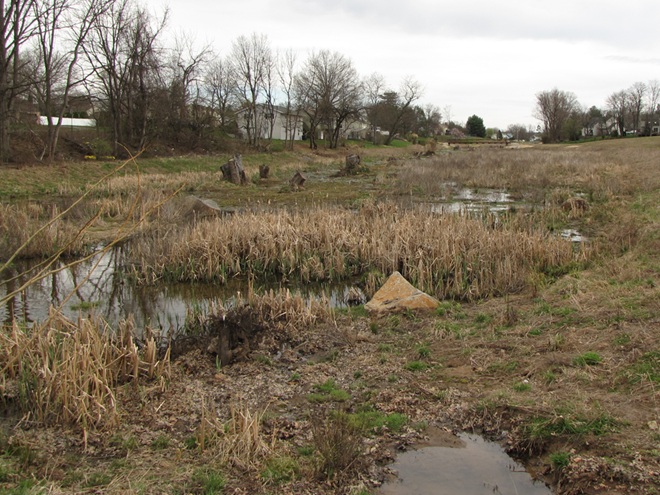
The majority of floodplains in the Lower Susquehanna River Watershed are, to put it mildly, dysfunctional. They are frequently disconnected from the lotic (flowing) streams and rivers that created them and are no longer capable of absorbing, purifying, and infiltrating high water during rain and snow-melt events. They are an ongoing source of nutrient and sediment pollution that impairs both our local waterways and Chesapeake Bay. For the plant and wildlife species that rely upon them for survival, their loss has been catastrophic.
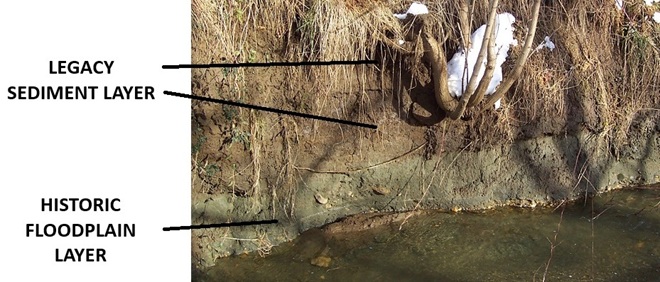
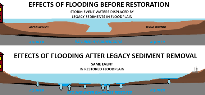
Mill dams once impounded nearly every mile of low-gradient streams in the lower Susquehanna region. During the century or more of their existence prior to the implementation of soil conservation practices during the 1930s, sediments consisting mostly of nutrient-loaded clay, silt, and sand eroded from sloped terrain in storm runoff and accumulated behind these dams, filling many to the brim with mud—six, eight, ten, sometimes twelve feet deep! As the dams fail or are removed, the stream is left channelized, incising a path through a floodplain choked with these “legacy sediments”.
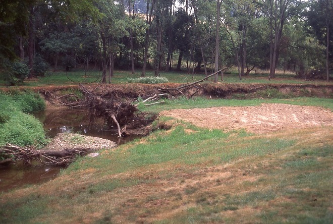
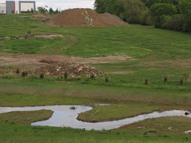
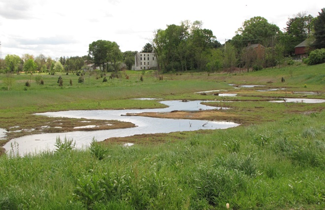
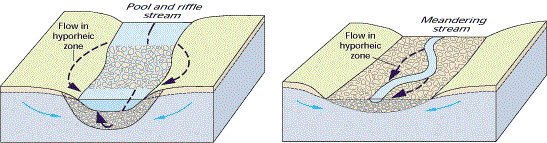
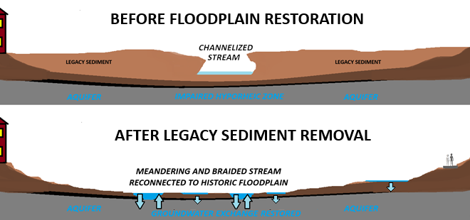
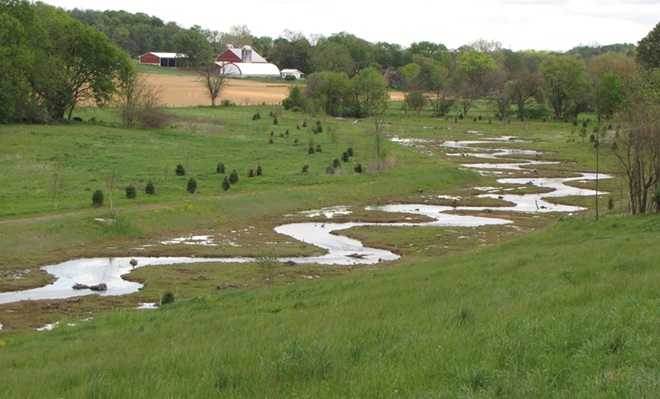
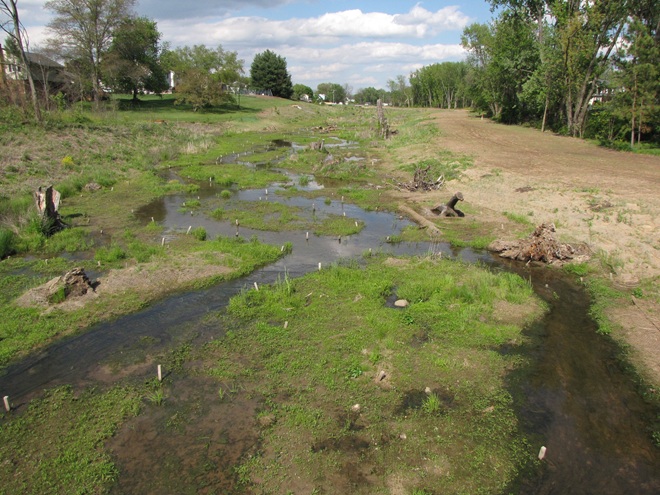
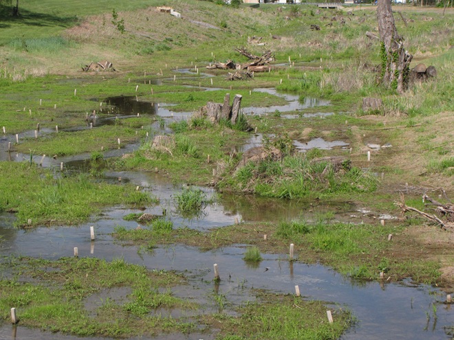
For a closer look at the Swarr Run renewal, including early map and aerial photograph views of the site, take a peek at this synopsis illustrating phase one of the project as presented to the North American Association of Wetland Managers by Justin Spangler of LandStudies, designers of the restoration. While perusing the material, be sure to review the significant reductions in nutrient and sediment loads discharged from these sites following the restoration work.
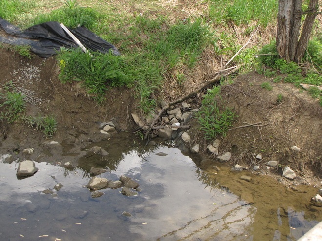
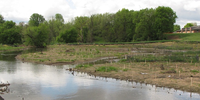
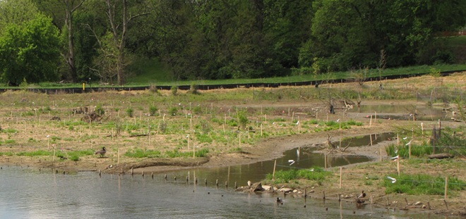
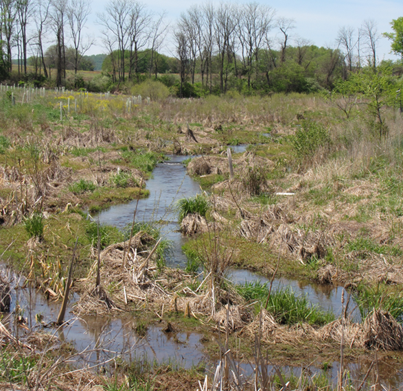
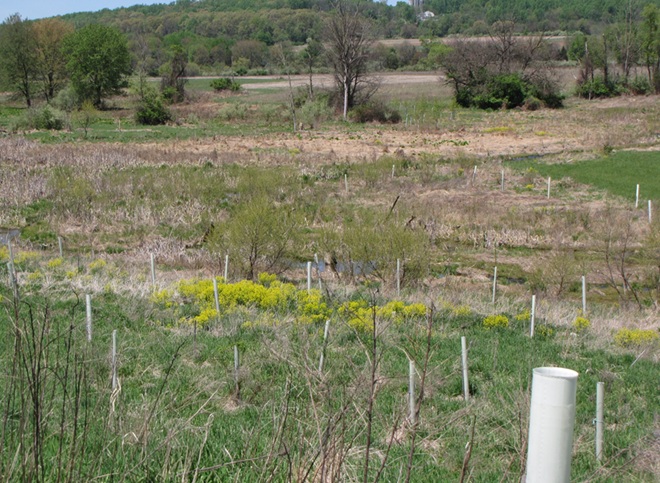
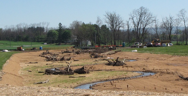
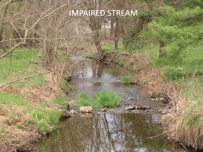
Have an impaired stream and a floodplain full of legacy sediments on your land or in your neighborhood? Consider encouraging your municipality, volunteer watershed group, or county conservation district to investigate the possibilities of planning and installing one of these projects. They’re a great enhancement for recreational fisheries, a private refugium, or a community-owned passive park system. Funding assistance may be available, particularly when regulatory or conservation goals can be met by completing restoration.
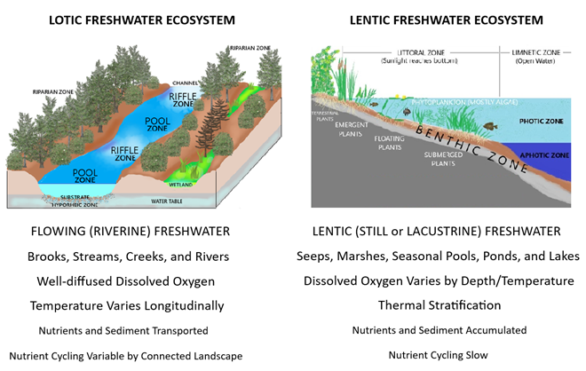
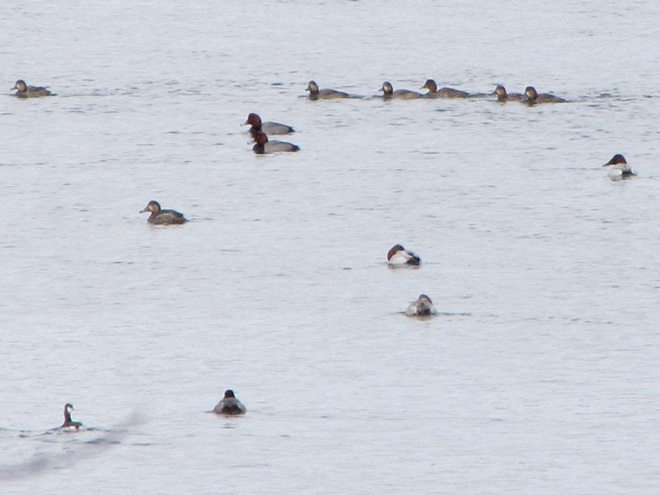
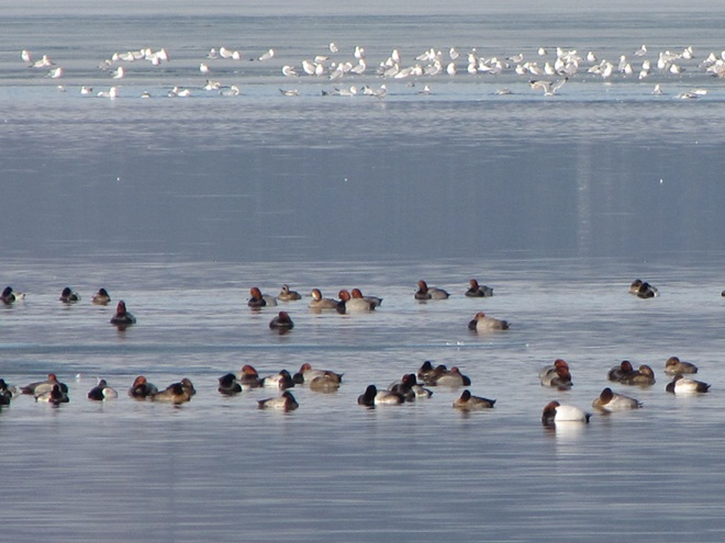
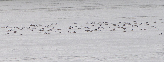
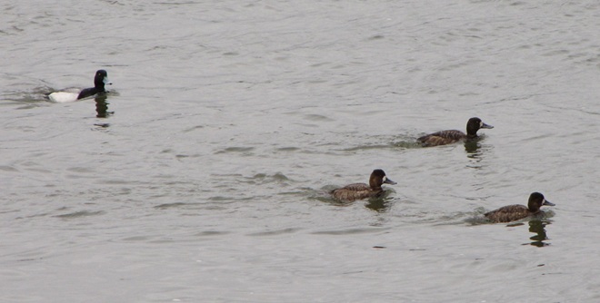
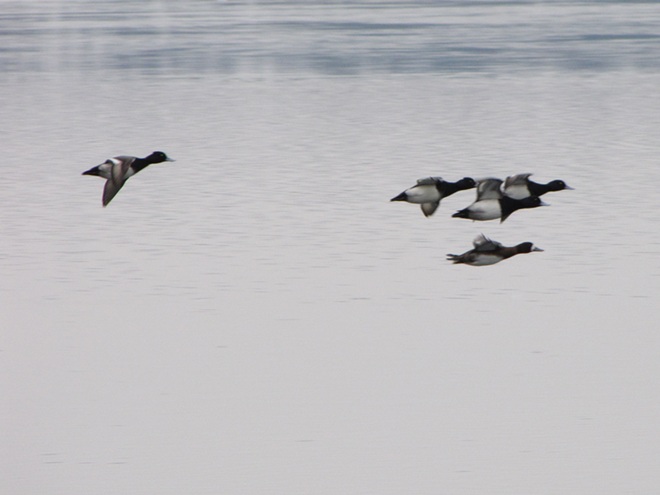
We frequently perceive all waterfowl migration to be synchronized with the conspicuous movements of familiar species like Snow Geese, Tundra Swans, and Canada Geese—big flights coming south in October and November, then a return to the north in late February and March. And we’re all quite aware of the occurrence of large gatherings of some of these migrants while they make stopovers on some of our largest lentic (still) waters—the man-made lakes and reservoirs created by damming local streams. But did you know that there are populations of colorful waterfowl with dynamic migrations that extend throughout the winter and early spring with movements that are often continuous. Under favorable conditions, these birds favor the lotic (flowing) waters of the river and its larger tributaries as they transit the lower Susquehanna valley. That’s because unpolluted lotic freshwater ecosystems support a greater diversity of plants and animals than lentic waters, and therefore offer more opportunities for hungry migrating waterfowl to find food. Let’s have a look at some of the species that visit the river during their seasonal journeys…
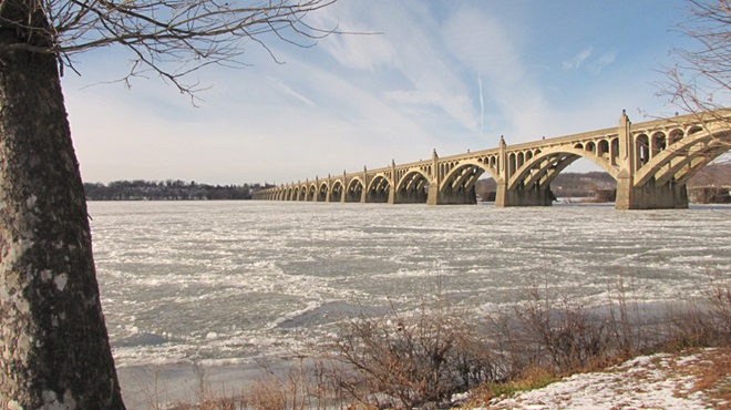

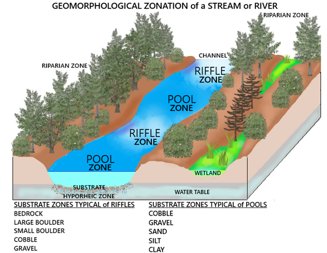
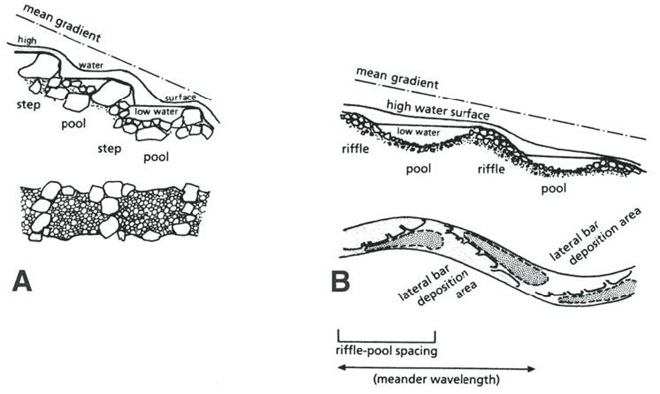
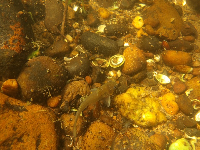
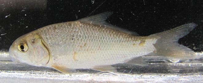
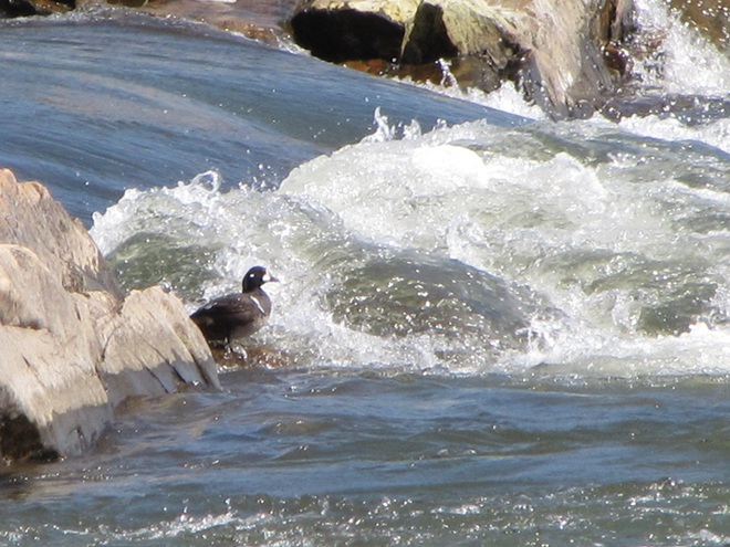
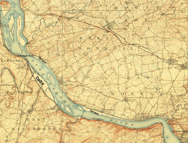
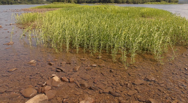
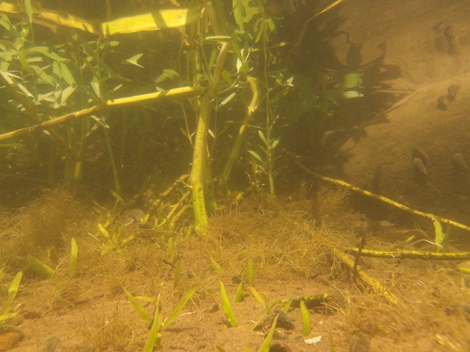
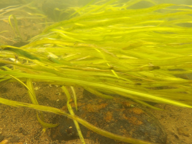
Prior to the nineteenth century, the low-gradient flow regime of the river both above and below the riffles at Chiques/Chickies Rock (lower right on map) created prime wildlife habitat. The natural accumulations of nutrients and substrates carried into and through the lotic waterway’s pools and riffles were cycled into an ideal growing medium for extensive mats of American Eelgrass and other aquatic plants. This underwater forest hosted a seemingly endless abundance of invertebrates and fishes (both resident and migratory)—supporting a variety of consumer species including various populations of humans. But soon after the mass clearing of much of the watershed’s land for farming and lumber, the mill ponds created by dams constructed on streams to power saw and grain mills became brimful with sediments eroded from the unprotected ground. During storm events, torrents of these sediments then flowed full bore toward the Susquehanna, and began accumulating in the low-gradient segments of the river.
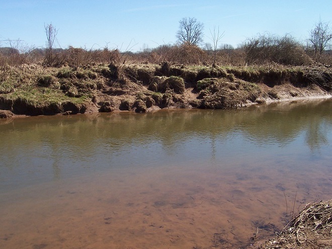
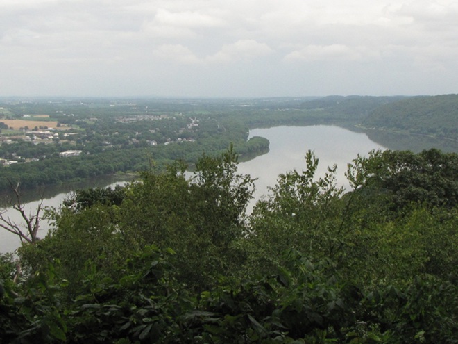
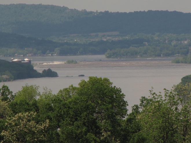
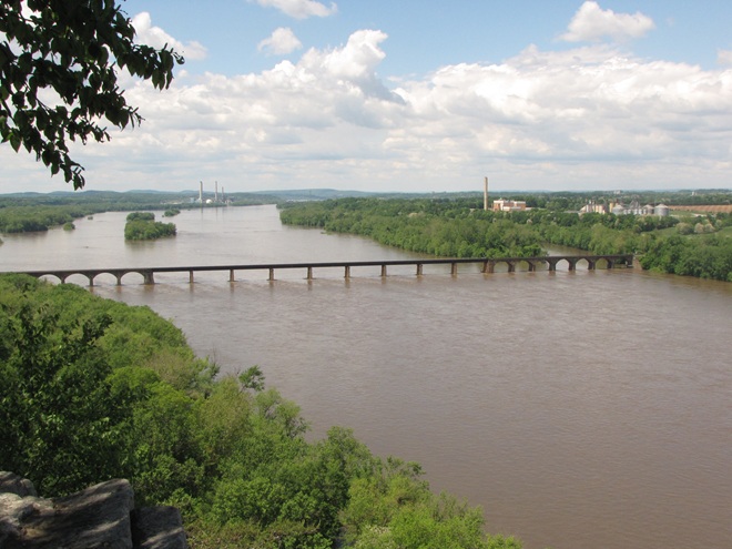
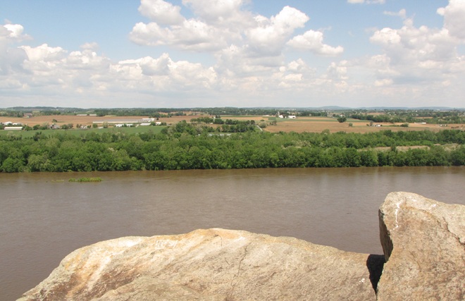
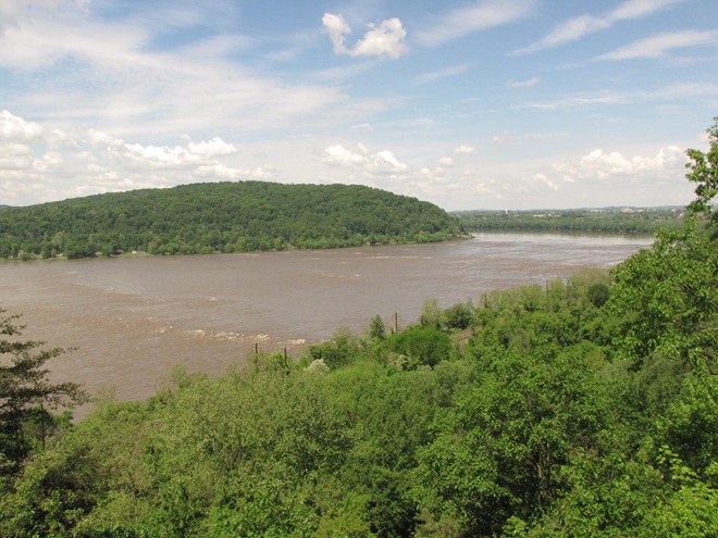
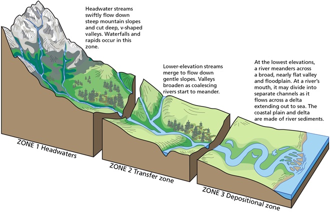
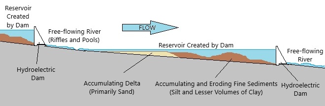
Despite being located in the transfer zone, the lower Susquehanna has become a significant depositional zone along much of its length, mostly courtesy of the placement of sediment-trapping man-made dams.
Following construction of the mill dams and ponds on nearly every mile of the lower Susquehanna’s low-gradient tributary streams, enterprising parties moved on to the river. The first significant spans were constructed using wide timber cribs filled with large rock. They were placed to create water deep enough to allow canal boats to cross the Susquehanna at both Clark’s Ferry at the mouth of the Juniata River in Dauphin County and at Columbia/Wrightsville. These dams also diverted water into the newly excavated canals—the Pennsylvania Eastern Division Canal (completed in 1833) which followed the river’s east shore from Clark’s Ferry to Columbia, and the Susquehanna and Tidewater Canal (completed in 1840) along the west shore from Wrightsville to Havre de Grace, Maryland. Placement of these sediment-trapping man-made dams began a process of converting vast mileage of the lower Susquehanna from a transfer zone into a deposition zone. In addition, layout of the canals and locks followed the contours along the base of the riverside ridges, seriously altering most of the alluvial terrace wetlands that the river had created as a feature of its floodplain during the post-glacial period.
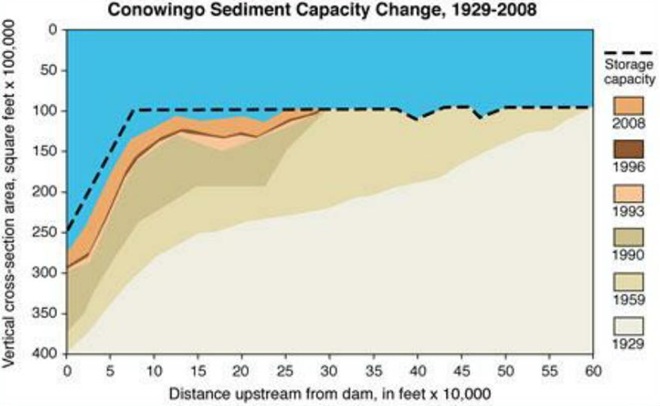
Construction of the canal dams was just the beginning. During the twentieth century, more massive dams would be added to the main stem of the river for hydroelectric energy production at York Haven, Safe Harbor, Holtwood, and Conowingo. Upon their completion, the days of unassisted anadromous fish migrations were over. On both the river and its tributaries, smaller dams including dangerous low-head dams maintain water levels for boating and recreation. They too create current-diminishing, pseudo-lentic waters that blanket the lotic riffle and pool substrates with polluted sediments.
MAN-MADE DAMS TURN LOTIC WATERS INTO UNFLUSHED TOILETS
Dredging of sections of the lower Susquehanna for spilled, discarded, and washed-out anthracite coal sediment went on for nearly 100 years and was a particularly active enterprise in the Harrisburg area and in Lake Clarke until 1973. The recurrent substrate disturbances that accompanied waste coal recovery in these segments of the river repetitively damaged habitat for benthic life and may have been the catastrophic factor leading to the extirpation of two species of freshwater mussels: the Eastern Lampmussel (Lampsilis radiata) and the Dwarf Wedgemussel (Alasmidonta heterodon).
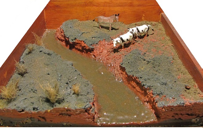
DID YOU KNOW that a dairy cow produces about 80 pounds of waste (excrement and urine) every day?
DID YOU KNOW that a horse produces about 50 pounds of waste (excrement and urine) every day?
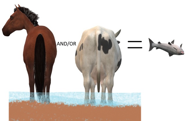
DID YOU KNOW that a human produces about 3 to 4 pounds of waste (excrement and urine) every day? The exceptions, of course, are those who continue to insist that raising farm animals in and alongside a body of water is okey-doke—a harmless practice. These individuals tend to retain the former constituent of human waste and are thus full of it.
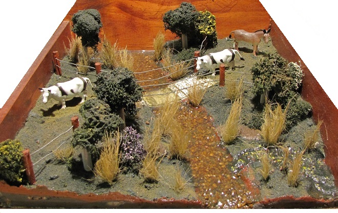
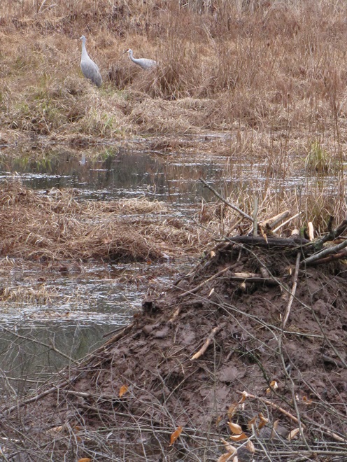
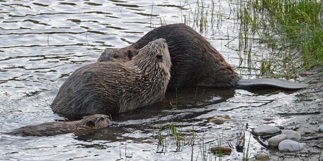
DID YOU KNOW that even before the landscape was cleared for farms and a supply of timber, and before mill dams on local creeks began accumulating soil runoff from the consequently barren hillsides, all the North American Beavers, the keystone species of lower Susquehanna stream ecology, were killed and sold to make hats? It’s no wonder things are fubar!
Just a reminder—there’s still time to order trees and shrubs from your local county conservation district’s annual sale, but you need to act soon…
Cumberland County Conservation District 48th Annual Tree Seedling Sale
Order by Friday, March 20, 2026
Pick Up on Thursday, April 16, 2026, or Friday, April 17, 2026
Dauphin County Conservation District Seedling Sale
Order by Monday, March 16, 2026
Pick Up on Thursday, April 23, 2026, or Friday, April 24, 2026
Franklin County Conservation District Tree Seedling Sale
Order by Tuesday, March 17, 2026
Pick Up on Thursday, April 23, 2026
Huntingdon County Conservation District Tree/Seedling Sale
Order by Friday, April 3, 2026
Pick Up on Thursday, April 16, 2026, or Friday, April 17, 2026
Lancaster County Conservation District Annual Tree Seedling Sale
Order by Friday, March 6, 2026
Pick Up on Friday, April 10, 2026
Lebanon County Conservation District ALL NATIVE! Tree & Plant Sale
Order by Monday, March 2, 2026
Pick Up on Friday, April 17, 2026
Mifflin County Conservation District Tree Sale
Order by Friday, March 6, 2026
Pick Up on Wednesday, April 15, 2026, or Thursday, April 16, 2026
Order by Saturday, March 21, 2026
Pick Up on Saturday, May 2, 2026
Snyder County Conservation District Tree Seedling Sale
Order by Monday, March 30, 2026
Pick Up on Wednesday, April 15, 2026
York County Conservation District Seedling Sale
Order by Sunday, March 15, 2026
Pick Up on Thursday, April 16, 2026
If maybe you would like to order trees but you’re not quite ready to put them in the ground, why not pot them up and start your own plant nursery. It’s a great way to build an inventory of hardy stock for planting around your own property or for use in community or civic conservation projects.
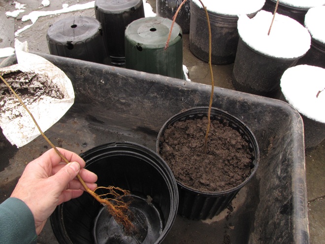
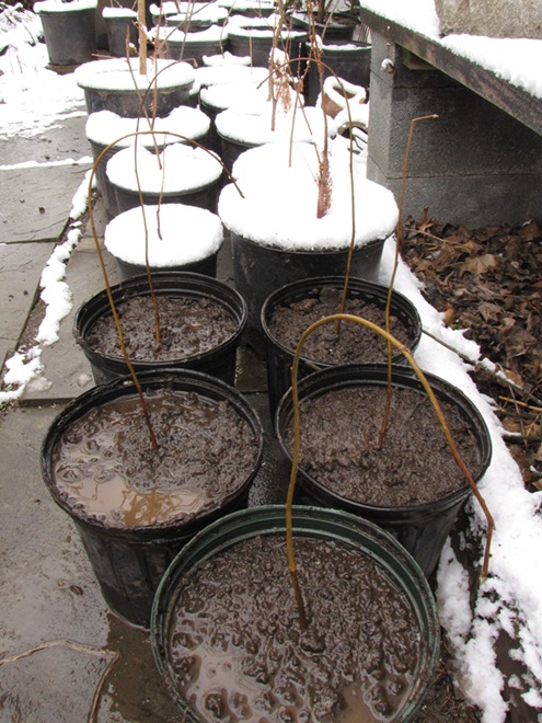
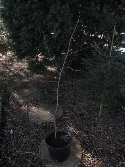
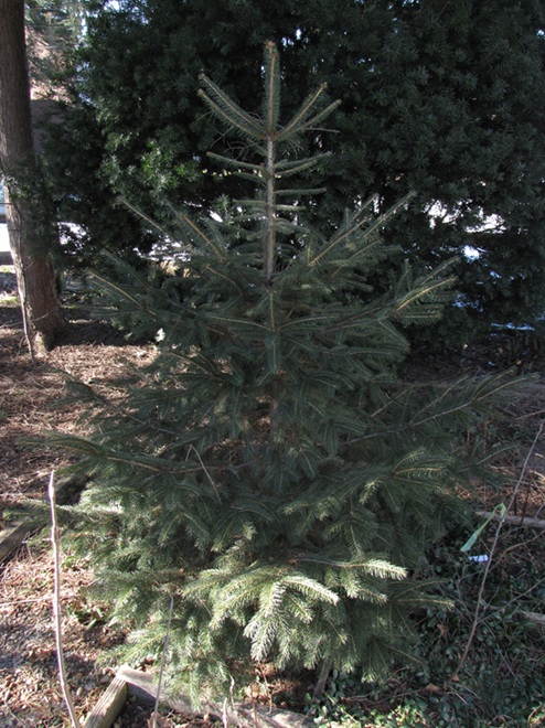
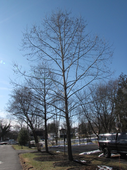
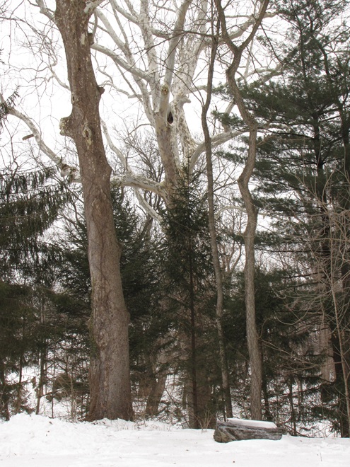
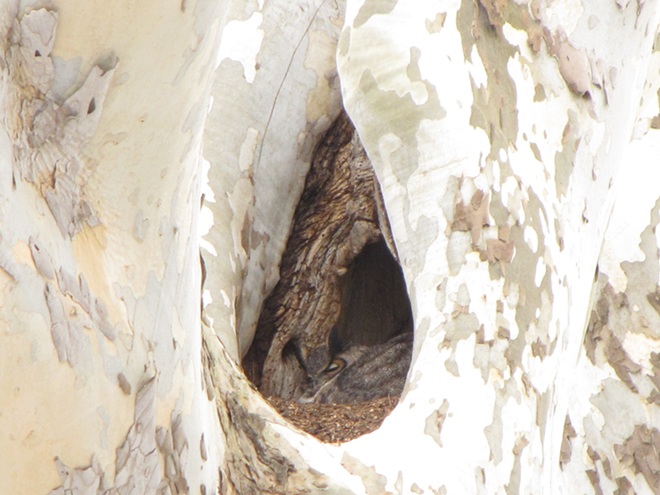
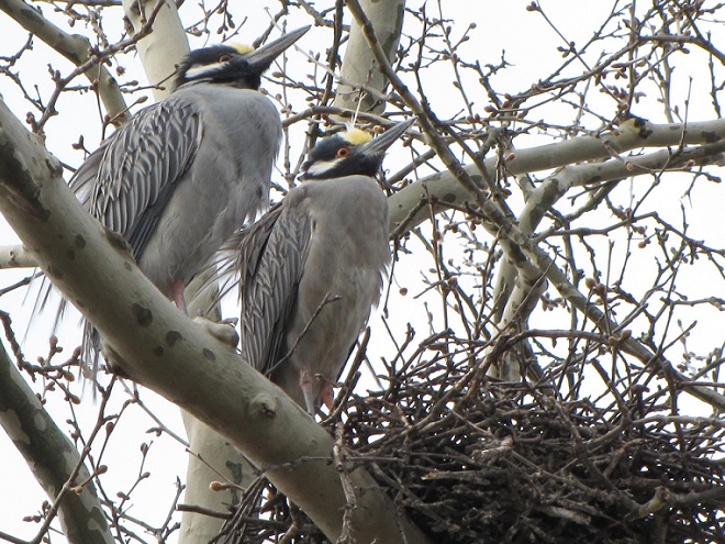
It looks like the worst of the cold may be behind us. With temperatures trending upwards during the coming days and weeks, some species of wildlife will soon find their search for food made a whole lot easier.
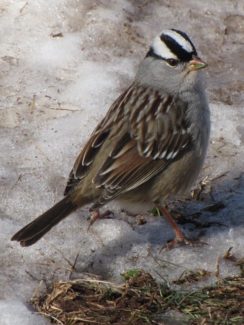
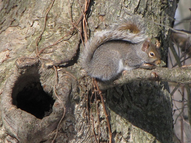
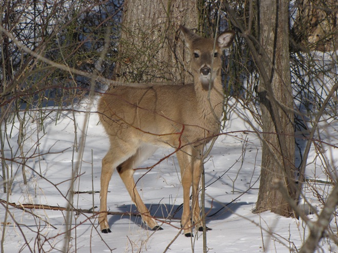
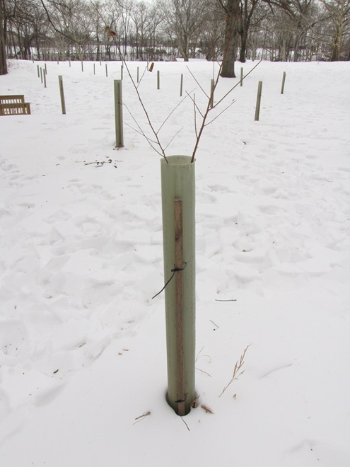
Our wildlife has been having a tough winter. The local species not only contend with cold and stormy weather, but they also need to find food and shelter in a landscape that we’ve rendered sterile of these essentials throughout much of the lower Susquehanna valley’s farmlands, suburbs, and cities.
Planting trees, shrubs, flowers, and grasses that benefit our animals can go a long way, often turning a ho-hum parcel of property into a privately owned oasis. Providing places for wildlife to feed, rest, and raise their young can help assure the survival of many of our indigenous species. With a little dedication, you can be liberated from the chore of manicuring a lawn and instead spend your time enjoying the birds, mammals, insects, and other creatures that will visit your custom-made habitat.

Fortunately for us, our local county conservation districts are again conducting springtime tree sales offering a variety of native and beneficial cultivated plants at discount prices. Listed here are links to information on how to pre-order your plants for pickup in April. Click away to check out the species each county is offering in 2025!
Cumberland County Conservation District Annual Tree Seedling Sale—
Orders due by: Friday, March 21, 2025
Pickup on: Thursday, April 24, 2025 or Friday, April 25, 2025

Dauphin County Conservation District Seedling Sale—
Orders due by: Monday, March 17, 2025
Pickup on: Thursday, April 24, 2025 or Friday, April 25, 2025

Franklin County Conservation District Tree Seedling Sale—
Orders due by: Wednesday, March 19, 2025
Pickup on: Thursday, April 24, 2025

Lancaster County Annual Tree Seedling Sale—
Orders due by: Friday, March 7, 2025
Pickup on: Friday, April 11, 2025

Lebanon County Conservation District Tree and Plant Sale—
Orders due by: Monday, March 3, 2025
Pickup on: Friday, April 18, 2025


York County Conservation District Seedling Sale—
Orders due by: March 15, 2025
Pickup on: Thursday, April 10, 2025


If you live in Adams County, Pennsylvania, you may be eligible to receive free trees and shrubs for your property from the Adams County Planting Partnership (Adams County Conservation District and the Watershed Alliance of Adams County). These trees are provided by the Chesapeake Bay Foundation’s Keystone 10-Million Trees Partnership which aims to close a seven-year project in 2025 by realizing the goal of planting 10 million trees to protect streams by stabilizing soils, taking up nutrients, reducing stormwater runoff, and providing shade. If you own property located outside of Adams County, but still within the Chesapeake Bay Watershed (which includes all of the Susquehanna, Juniata, and Potomac River drainages), you still may have an opportunity to get involved. Contact your local county conservation district office or watershed organization for information.


We hope you’re already shopping. Need help making your selections? Click on the “Trees, Shrubs, and Woody Vines” tab at the top of this page to check out Uncle Tyler Dyer’s leaf collection. He has most of the species labelled with their National Wetland Plant List Indicator Rating. You can consult these ratings to help find species suited to the soil moisture on your planting site(s). For example: if your site has sloped upland ground and/or the soils sometimes dry out in summer, select plants with a rating such as UPL or FACU. If your planting in soils that remain moist or wet, select plants with the OBL or FACW rating. Plants rated FAC are generally adaptable and can usually go either way, but may not thrive or survive under stressful conditions in extremely wet or dry soils.
NATIONAL WETLAND PLANT LIST INDICATOR RATING DEFINITIONS
Using these ratings, you might choose to plant Pin Oaks (FACW) and Swamp White Oaks (FACW) in your riparian buffer along a stream; Northern Red Oaks (FACU) and White Oaks (FACU) in the lawn or along the street, driveway, or parking area; and Chestnut Oaks (UPL) on your really dry hillside with shallow soil. Give it a try.
The deluge of rain that soaked the lower Susquehanna watershed during last week is now just a memory. Streams to the west of the river, where the flooding courtesy of the remnants of Hurricane Debby was most severe, have reached their crest and receded. Sliding away toward the Chesapeake and Atlantic is all that runoff, laden with a brew of pollutants including but not limited to: agricultural nutrients, sediment, petroleum products, sewage, lawn chemicals, tires, dog poop, and all that litter—paper, plastics, glass, Styrofoam, and more. For aquatic organisms including our freshwater fish, these floods, particularly when they occur in summer, can compound the effects of the numerous stressors that already limit their ability to live, thrive, and reproduce.

One of those preexisting stressors, high water temperature, can be either intensified or relieved by summertime precipitation. Runoff from forested or other densely vegetated ground normally has little impact on stream temperature. But segments of waterways receiving significant volumes of runoff from areas of sun-exposed impervious ground will usually see increases during at least the early stages of a rain event. Fortunately, projects implemented to address the negative impacts of stormwater flow and stream impairment can often have the additional benefit of helping to attenuate sudden rises in stream temperature.

Of the fishes inhabiting the Lower Susquehanna River Watershed’s temperate streams, the least tolerant of summer warming are the trouts and sculpins—species often described as “coldwater fishes”. Coldwater fishes require water temperatures below 70° Fahrenheit to thrive and reproduce. The optimal temperature range is 50° to 65° F. In the lower Susquehanna valley, few streams are able to sustain trouts and sculpins through the summer months—largely due to the effects of warm stormwater runoff and other forms of impairment.


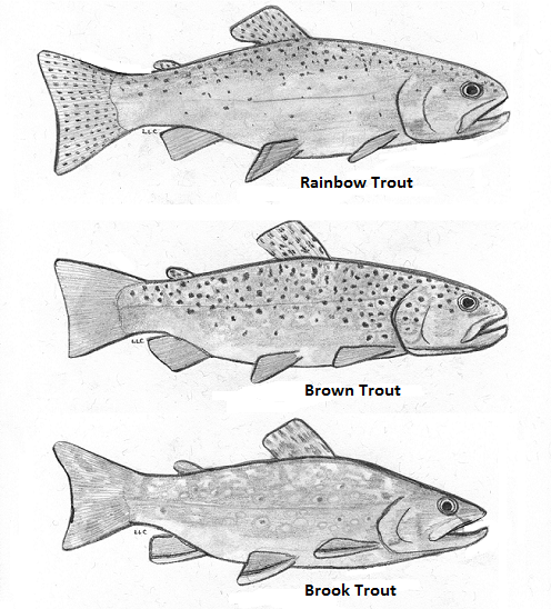
Coldwater fishes are generally found in small spring-fed creeks and headwaters runs. Where stream gradient, substrate, dissolved oxygen, and other parameters are favorable, some species may be tolerant of water warmer than the optimal values. In other words, these temperature classifications are not set in stone and nobody ever explained ichthyology to a fish, so there are exceptions. The Brown Trout for example is sometimes listed as a “coldwater transition fish”, able to survive and reproduce in waters where stream quality is exceptionally good but the temperature may periodically reach the mid-seventies.


More tolerant of summer heat than the trouts, sculpins, and daces are the “coolwater fishes”—species able to feed, grow, and reproduce in streams with a temperature of less than 80° F, but higher than 60° F. Coolwater fishes thrive in creeks and rivers that hover in the 65° to 70° F range during summer.


What are the causes of modern-day reductions in coldwater and coolwater fish habitats in the lower Susquehanna River and its hundreds of miles of tributaries? To answer that, let’s take a look at the atmospheric, cosmic, and hydrologic processes that impact water temperature. Technically, these processes could be measured as heat flux—the rate of heat energy transfer per unit area per unit time, frequently expressed as watts per meter squared (W/m²). Without getting too technical, we’ll just take a look at the practical impact these processes have on stream temperatures.
HEAT FLUX PROCESSES IN A SEGMENT OF STREAM


Now that we have a basic understanding of the heat flux processes responsible for determining the water temperatures of our creeks and rivers, let’s venture a look at a few graphics from gauge stations on some of the lower Susquehanna’s tributaries equipped with appropriate United States Geological Survey monitoring devices. While the data from each of these stations is clearly noted to be provisional, it can still be used to generate comparative graphics showing basic trends in easy-to-monitor parameters like temperature and stream flow.
Each image is self-labeled and plots stream temperature in degrees Fahrenheit (bold blue) and stream discharge in cubic feet per second (thin blue).

The daily oscillations in temperature reflect the influence of several heat flux processes. During the day, solar (shortwave) radiation and convection from summer air, especially those hot south winds, are largely responsible for the daily rises of about 5° F. Longwave radiation has a round-the-clock influence—adding heat to the stream during the day and mostly shedding it at night. Atmospheric exchange including evaporative cooling may help moderate the rise in stream temperatures during the day, and certainly plays a role in bringing them back down after sunset. Along its course this summer, the West Conewago Creek absorbed enough heat to render it a warmwater fishery in the area of the gauging station. The West Conewago is a shallow, low gradient stream over almost its entire course. Its waters move very slowly, thus extending their exposure time to radiated heat flux and reducing the benefit of cooling by atmospheric exchange. Fortunately for bass, catfish, and sunfish, these temperatures are in the ideal range for warmwater fishes to feed, grow, and reproduce—generally over 80° F, and ideally in the 70° to 85° F range. Coolwater fishes though, would not find this stream segment favorable. It was consistently above the 80° F maximum and the 60° to 70° F range preferred by these species. And coldwater fishes, well, they wouldn’t be caught dead in this stream segment. Wait, scratch that—the only way they would be caught in this segment is dead. No trouts or sculpins here.

Look closely and you’ll notice that although the temperature pattern on this chart closely resembles that of the West Conewago’s, the readings average about 5 degrees cooler. This may seem surprising when one realizes that the Codorus follows a channelized path through the heart of York City and its urbanized suburbs—a heat island of significance to a stream this size. Before that it passes through numerous impoundments where its waters are exposed to the full energy of the sun. The tempering factor for the Codorus is its baseflow. Despite draining a smaller watershed than its neighbor to the north, the Codorus’s baseflow (low flow between periods of rain) was 96 cubic feet per second on August 5th, nearly twice that of the West Conewago (51.1 cubic feet per second on August 5th). Thus, the incoming heat energy was distributed over a greater mass in the Codorus and had a reduced impact on its temperature. Though the Codorus is certainly a warmwater fishery in its lower reaches, coolwater and transitional fishes could probably inhabit its tributaries in segments located closer to groundwater sources without stress. Several streams in its upper reaches are in fact classified as trout-stocked fisheries.


The Kreutz Creek gauge shows temperature patterns similar to those in the West Conewago and Codorus data sets, but notice the lower overall temperature trend and the flow. Kreutz Creek is a much smaller stream than the other two, with a flow averaging less than one tenth that of the West Conewago and about one twentieth of that in the Codorus. And most of the watershed is cropland or urban/suburban space. Yet, the stream remains below 80° F through most of the summer. The saving graces in Kreutz Creek are reduced exposure time and gradient. The waters of Kreutz Creek tumble their way through a small watershed to enter the Susquehanna within twenty-four hours, barely time to go through a single daily heating and cooling cycle. As a result, their is no chance for water to accumulate radiant and convective heat over multiple summer days. The daily oscillations in temperature are less amplified than we find in the previous streams—a swing of about three degrees compared to five. This indicates a better balance between heat flux processes that raise temperature and those that reduce it. Atmospheric exchange in the stream’s riffles, forest cover, and good hyporheic exchange along its course could all be tempering factors in Kreutz Creek. From a temperature perspective, Kreutz Creek provides suitable waters for coolwater fishes.

Muddy Creek is a trout-stocked fishery, but it cannot sustain coldwater species through the summer heat. Though temperatures in Muddy Creek may be suitable for coolwater fishes, silt, nutrients, low dissolved oxygen, and other factors could easily render it strictly a warmwater fishery, inhabited by species tolerant of significant stream impairment.

A significant number of stream segments in the Chiques watershed have been rehabilitated to eliminate intrusion by grazing livestock, cropland runoff, and other sources of impairment. Through partnerships between a local group of watershed volunteers and landowners, one tributary, Donegal Creek, has seen riparian buffers, exclusion fencing, and other water quality and habitat improvements installed along nearly ever inch of its run from Donegal Springs through high-intensity farmland to its mouth on the main stem of the Chiques just above its confluence with the Susquehanna. The improved water quality parameters in the Donegal support native coldwater sculpins and an introduced population of reproducing Brown Trout. While coldwater habitat is limited to the Donegal, the main stem of the Chiques and its largest tributary, the Little Chiques Creek, both provide suitable temperatures for coolwater fishes.


Despite its meander through and receipt of water from high-intensity farmland, the temperature of the lower Conewago (East) maxes out at about 85° F, making it ideal for warmwater fishes and even those species that are often considered coolwater transition fishes like introduced Smallmouth Bass, Rock Bass, Walleye, and native Margined Madtom. This survivable temperature is a testament to the naturally occurring and planted forest buffers along much of the stream’s course, particularly on its main stem. But the Conewago suffers serious baseflow problems compared to other streams we’ve looked at so far. Just prior to the early August storms, flow was well below 10 cubic feet per second for a drainage area of more than fifty square miles. While some of this reduced flow is the result of evaporation, much of it is anthropogenic in origin as the rate of groundwater removal continues to increase and a recent surge in stream withdraws for irrigation reaches its peak during the hottest days of summer.


A little side note—the flow rate on the Conewago at the Falmouth gauge climbed to about 160 cubic feet per second as a result of the remnants of Hurricane Debby while the gauge on the West Conewago at Manchester skyrocketed to about 20,000 cubic feet per second. Although the West Conewago’s watershed (drainage area) is larger than that of the Conewago on the east shore, it’s larger only by a multiple of two or three, not 125. That’s a dramatic difference in rainfall!

The temperatures at the Bellaire monitoring station, which is located upstream of the Conewago’s halfway point between its headwaters in Mount Gretna and its mouth, are quite comparable to those at the Falmouth gauge. Although a comparison between these two sets of data indicate a low net increase in heat absorption along the stream’s course between the two points, it also suggests sources of significant warming upstream in the areas between the Bellaire gauge and the headwaters.

The waters of the Little Conewago are protected within planted riparian buffers and mature woodland along much of their course to the confluence with the Conewago’s main stem just upstream of Bellaire. This tributary certainly isn’t responsible for raising the temperature of the creek, but is instead probably helping to cool it with what little flow it has.

Though mostly passing through natural and planted forest buffers above its confluence with the Little Conewago, the main stem’s critically low baseflow makes it particularly susceptible to heat flux processes that raise stream temperatures in segments within the two or three large agricultural properties where owners have opted not to participate in partnerships to rehabilitate the waterway. The headwaters area, while largely within Pennsylvania State Game Lands, is interspersed with growing residential communities where potable water is sourced from hundreds of private and community wells—every one of them removing groundwater and contributing to the diminishing baseflow of the creek. Some of that water is discharged into the stream after treatment at the two municipal sewer plants in the upper Conewago. This effluent can become quite warm during processing and may have significant thermal impact when the stream is at a reduced rate of flow. A sizeable headwaters lake is seasonally flooded for recreation in Mount Gretna. Such lakes can function as effective mid-day collectors of solar (shortwave) radiation that both warms the water and expedites atmospheric exchange.

Though Conewago Creek (East) is classified as a trout-stocked fishery in its upper reaches in Lebanon County, its low baseflow and susceptibility to warming render it inhospitable to these coldwater fishes by late-spring/early summer.


The removal of two water supply dams on the headwaters of Hammer Creek at Rexmont eliminated a large source of temperature fluctuation on the waterway, but did little to address the stream’s exposure to radiant and convective heat flux processes as it meanders largely unprotected out of the forest cover of Pennsylvania State Game Lands and through high-intensity farmlands in the Lebanon Valley. Moderating the temperature to a large degree is the influx of karst water from Buffalo Springs, located about two miles upstream from this gauging station, and other limestone springs that feed tributaries which enter the Hammer from the east and north. Despite the cold water, the impact of the stream’s nearly total exposure to radiative and other warming heat flux processes can readily be seen in the graphic. Though still a coldwater fishery by temperature standards, it is rather obvious that rapid heating and other forms of impairment await these waters as they continue flowing through segments with few best management practices in place for mitigating pollutants. By the time Hammer Creek passes back through the Furnace Hills and Pennsylvania State Game Lands, it is leaning toward classification as a coolwater fishery with significant accumulations of sediment and nutrients. But this creek has a lot going for it—mainly, sources of cold water. A core group of enthusiastic landowners could begin implementing the best management practices and undertaking the necessary water quality improvement projects that could turn this stream around and make it a coldwater treasure. An organized effort is currently underway to do just that. Visit Trout Unlimited’s Don Fritchey Chapter and Donegal Chapter to learn more. Better yet, join them as a volunteer or cooperating landowner!


For coldwater fishes, the thousands of years since the most recent glacial maximum have seen their range slowly contract from nearly the entirety of the once much larger Susquehanna watershed to the headwaters of only our most pristine streams. Through no fault of their own, they had the misfortune of bad timing—humans arrived and found coldwater streams and the groundwater that feeds them to their liking. Some of the later arrivals even built their houses right on top of the best-flowing springs. Today, populations of these fishes in the region we presently call the Lower Susquehanna River Watershed are seriously disconnected and the prospect for survival of these species here is not good. Stream rehabilitation, groundwater management, and better civil planning and land/water stewardship are the only way coldwater fishes, and very possibly coolwater fishes as well, will survive. For some streams like Hammer Creek, it’s not too late to make spectacular things happen. It mostly requires a cadre of citizens, local government, project specialists, and especially stakeholders to step up and be willing to remain focused upon project goals so that the many years of work required to turn a failing stream around can lead to success.


You’re probably glad this look at heat flux processes in streams has at last come to an end. That’s good, because we’ve got a lot of work to do.


The rain and clouds have at last departed. With blue skies and sunshine to remind us just how wonderful a spring afternoon can be, we took a stroll at Memorial Lake State Park in Lebanon County, Pennsylvania, to look for some migratory birds.


What? You thought we were gonna drop in on Maryland’s largest city for a couple of ball games and some oysters, clams, and crab cakes—not likely.
It’s that time of year. Your local county conservation district is taking orders for their annual tree sale and it’s a deal that can’t be beat. Order now for pickup in April.
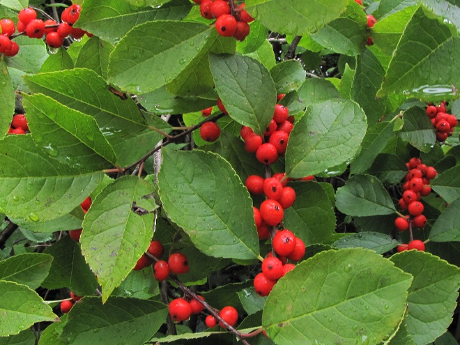
The prices are a bargain and the selection includes the varieties you need to improve wildlife habitat and water quality on your property. For species descriptions and more details, visit each tree sale web page (click the sale name highlighted in blue). And don’t forget to order packs of evergreens for planting in mixed clumps and groves to provide winter shelter and summertime nesting sites for our local native birds. They’re only $12.00 for a bundle of 10.
Cumberland County Conservation District Annual Tree Seedling Sale—
Orders due by: Friday, March 22, 2024
Pickup on: Thursday, April 18, 2024 or Friday, April 19, 2024
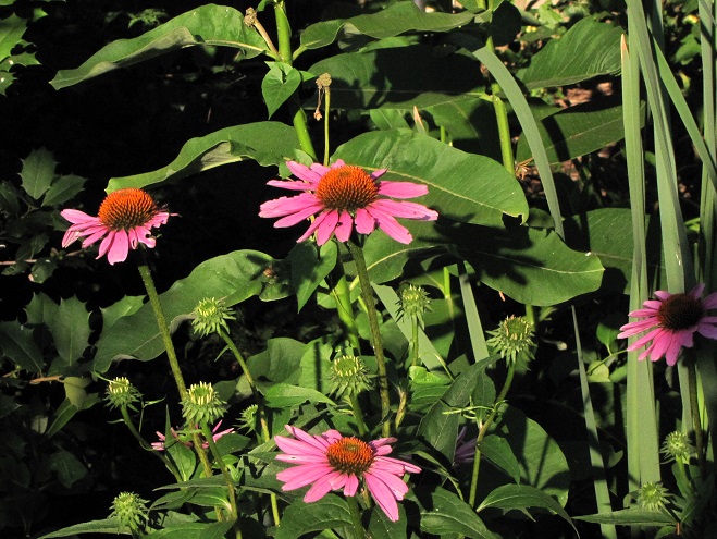
Dauphin County Conservation District Seedling Sale—
Orders due by: Monday, March 18, 2024
Pickup on: Thursday, April 18, 2024 or Friday, April 19, 2024
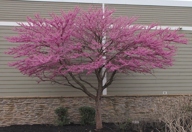
Lancaster County Annual Tree Seedling Sale—
Orders due by: Friday, March 8, 2024
Pickup on: Friday, April 12, 2024
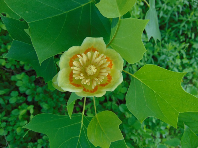

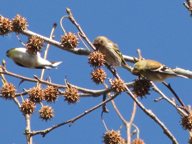
Lebanon County Conservation District Tree and Plant Sale—
Orders due by: Friday, March 8, 2024
Pickup on: Friday, April 19, 2024
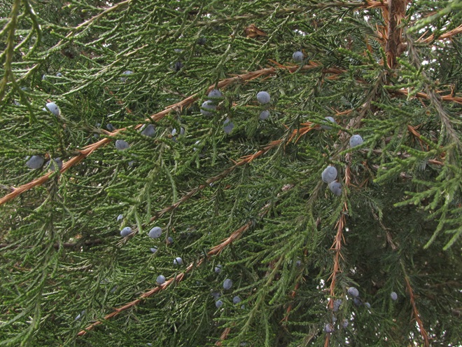
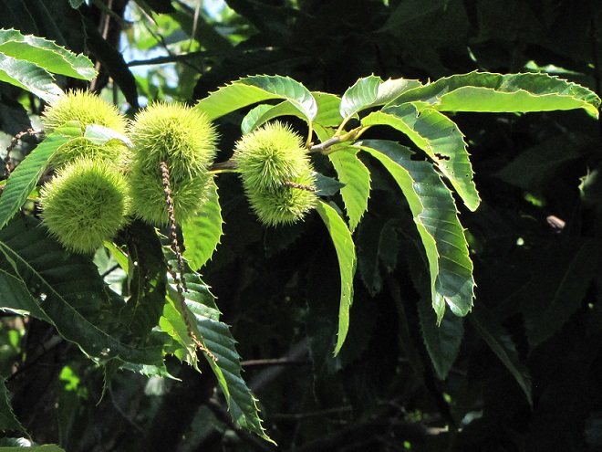
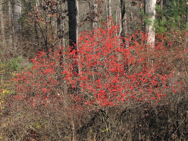
Perry County Conservation District Tree Sale—
Orders due by: Sunday, March 24, 2024
Pickup on: Thursday, April 11, 2024
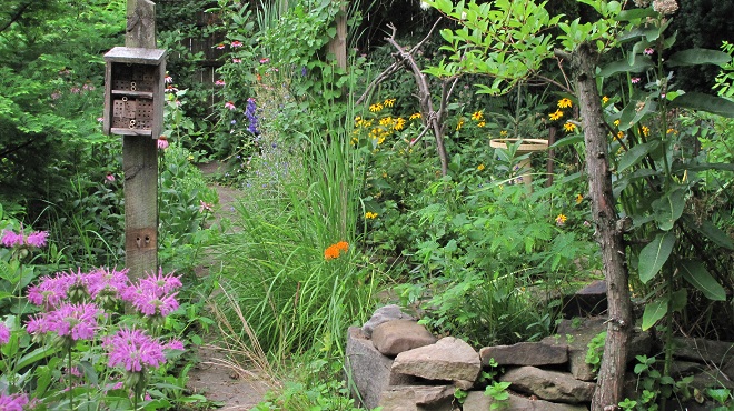
Again this year, Perry County is offering bluebird nest boxes for sale. The price?—just $12.00.
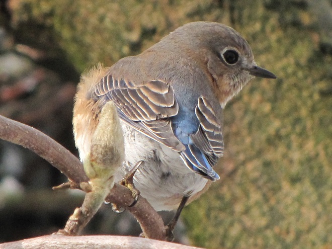
York County Conservation District Seedling Sale—
Orders due by: Friday, March 15, 2024
Pickup on: Thursday, April 11, 2024
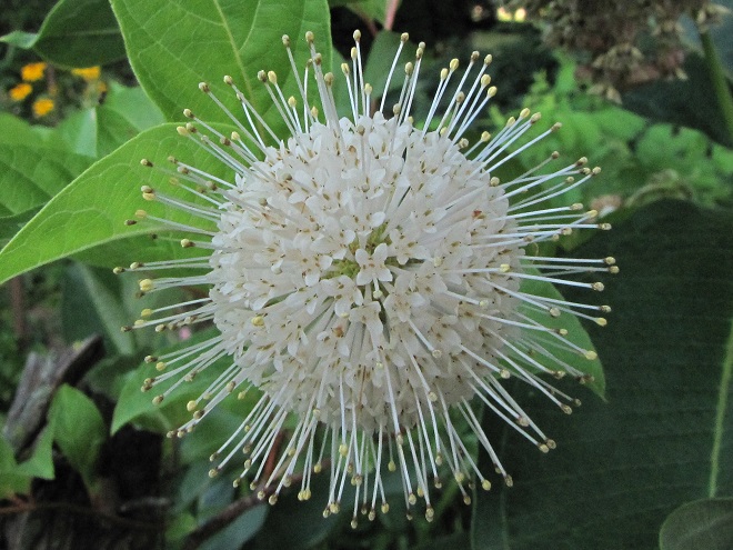
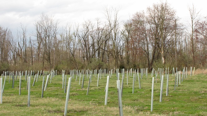
To get your deciduous trees like gums, maples, oaks, birches, and poplars off to a safe start, conservation district tree sales in Cumberland, Dauphin, Lancaster, and Perry Counties are offering protective tree shelters. Consider purchasing these plastic tubes and supporting stakes for each of your hardwoods, especially if you have hungry deer in your neighborhood.
There you have it. Be sure to check out each tree sale’s web page to find the selections you like, then get your order placed. The deadlines will be here before you know it and you wouldn’t want to miss values like these!
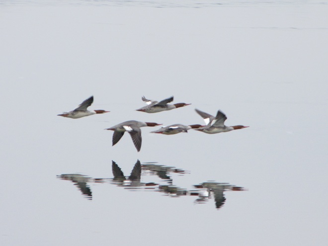
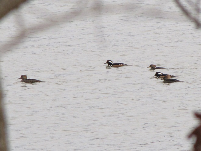
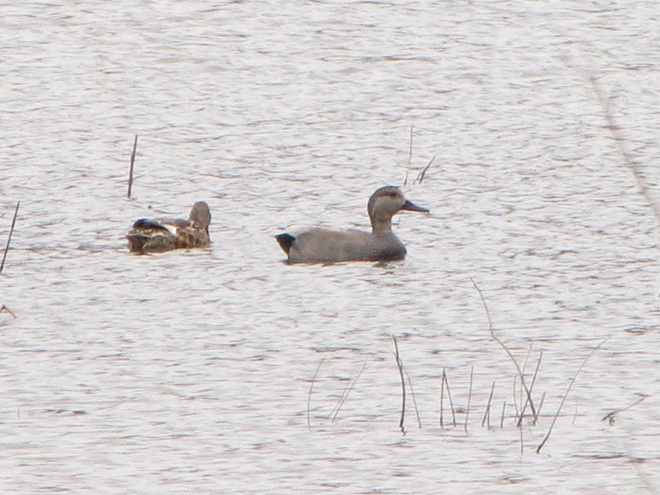
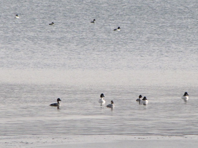
Just as bare ground along a plowed road attracts birds in an otherwise snow-covered landscape, a receding river or large stream can provide the same benefit to hungry avians looking for food following a winter storm.
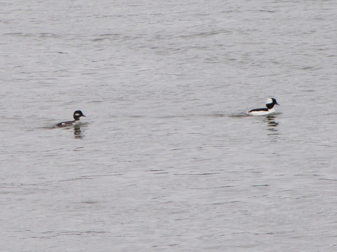
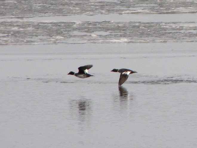
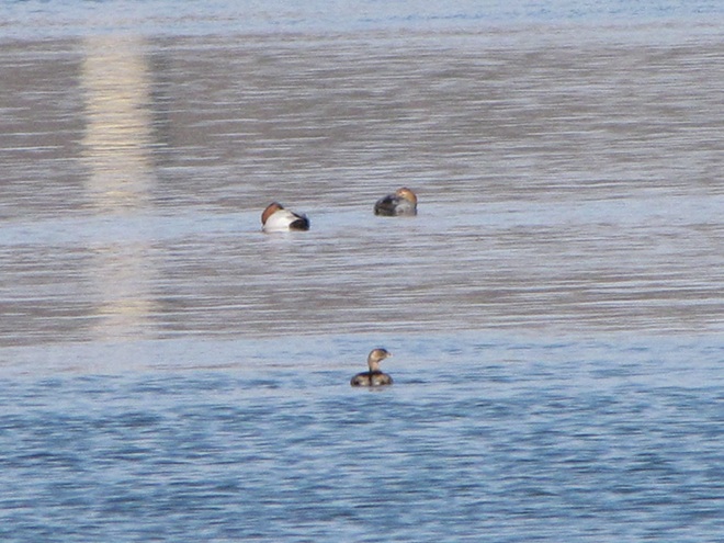
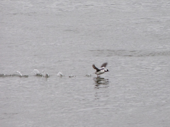
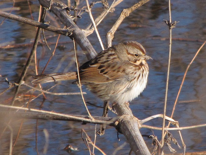
Here is a small sample of some of the species seen during a brief stop along the Susquehanna earlier this week.
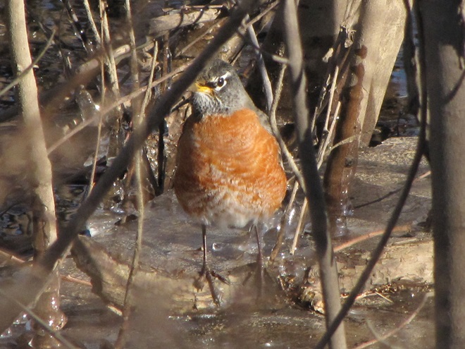
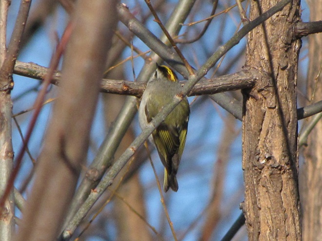
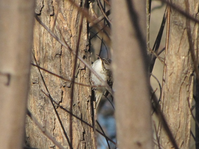
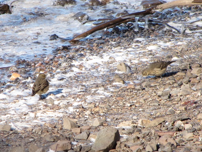
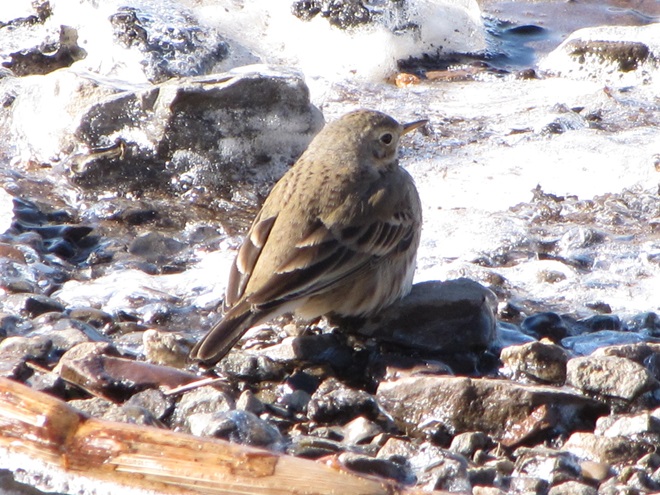
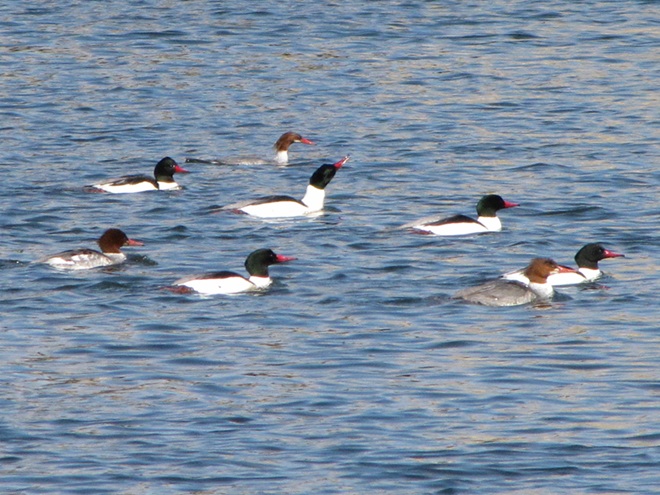
Heavy rains and snow melt have turned the main stem of the Susquehanna and its larger tributaries into a muddy torrent. For fish-eating (piscivorous) ducks, the poor visibility in fast-flowing turbid waters forces them to seek better places to dive for food. With man-made lakes and ponds throughout most of the region still ice-free, waterfowl are taking to these sources of open water until the rivers and streams recede and clear.
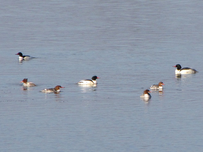
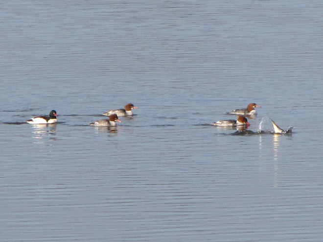
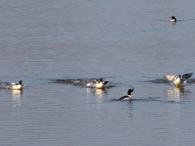
With a hard freeze on the way, the fight for life will get even more desperate in the coming weeks. Lakes will ice over and the struggle for food will intensify. Fortunately for mergansers and other piscivorous waterfowl, high water on the Susquehanna is expected to recede and clarify, allowing them to return to their traditional environs. Those with the most suitable skills and adaptations to survive until spring will have a chance to breed and pass their vigor on to a new generation of these amazing birds.
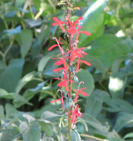
It may be one of the most treasured plants among native landscape gardeners. The Cardinal Flower (Lobelia cardinalis) blooms in August each year with a startling blaze of red color that, believe it or not, will sometimes be overlooked in the wild.
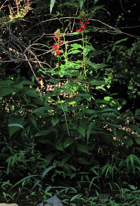
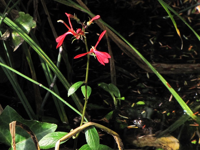
The Cardinal Flower grows in wetlands as well as in a variety of moist soils along streams, rivers, lakes, and ponds. Shady locations with short periods of bright sun each day seem to be favored for an abundance of color.
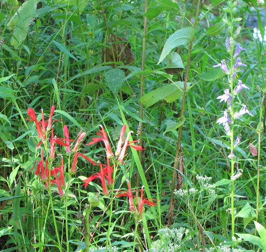
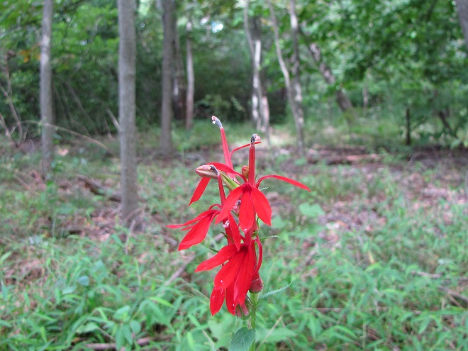
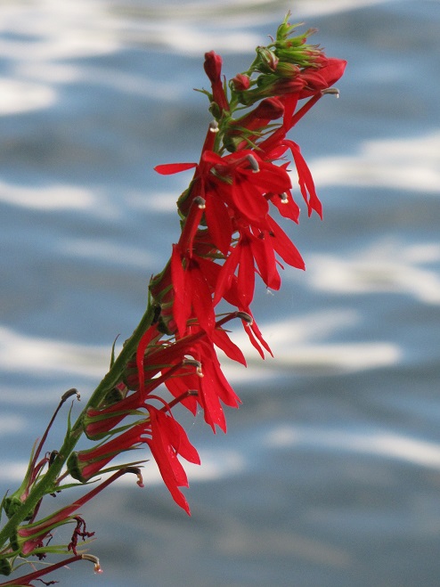
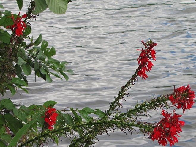
The Cardinal Flower can be an ideal plant for attracting hummingbirds, bees, butterflies, and other late-summer pollinators. It grows well in damp ground, especially in rain gardens and along the edges streams, garden ponds, and stormwater retention pools. If you’re looking to add Cardinal Flower to your landscape, you need first to…

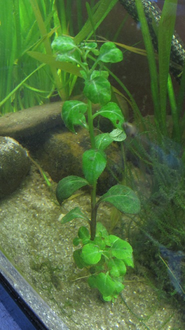
Cardinal Flower plants are available at many nurseries that carry native species of garden and/or pond plants. Numerous online suppliers offer seed for growing your own Cardinal Flowers. Some sell potted plants as well. A new option is to grow Cardinal Flowers from tissue cultures. Tissue-cultured plants are raised in laboratory media, so the pitfalls of disease and hitchhikers like invasive insects and snails are eliminated. These plants are available through the aquarium trade from most chain pet stores. Though meant to be planted as submerged aquatics in fish tank substrate, we’ve reared the tissue-cultured stock indoors as emergent plants in sandy soil and shallow water through the winter and early spring. When it warms up, we transplant them into the edges of the outdoor ponds to naturalize. As a habit, we always grow some Cardinal Flower plants in the fish tanks to take up the nitrates in the water and to provide a continuous supply of cuttings for starting more emergent stock for outdoor use.
Are you worried about your well running dry this summer? Are you wondering if your public water supply is going to implement use restrictions in coming months? If we do suddenly enter a wet spell again, are you concerned about losing valuable rainfall to flooding? A sensible person should be curious about these issues, but here in the Lower Susquehanna River Watershed, we tend to take for granted the water we use on a daily basis.
This Wednesday, June 7, you can learn more about the numerous measures we can take, both individually and as a community, to recharge our aquifers while at the same time improving water quality and wildlife habitat in and around our streams and rivers. From 5:30 to 8:00 P.M., the Chiques Creek Watershed Alliance will be hosting its annual Watershed Expo at the Manheim Farm Show grounds adjacent to the Manheim Central High School in Lancaster County. According to the organization’s web page, more than twenty organizations will be there with displays featuring conservation, aquatic wildlife, stream restoration, Honey Bees, and much more. There will be games and custom-made fish-print t-shirts for the youngsters, plus music to relax by for those a little older. Look for rain barrel painting and a rain barrel giveaway. And you’ll like this—admission and ice cream are free. Vendors including food trucks will be onsite preparing fare for sale.
And there’s much more.
To help recharge groundwater supplies, you can learn how to infiltrate stormwater from your downspouts, parking area, or driveway…
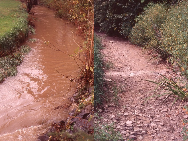
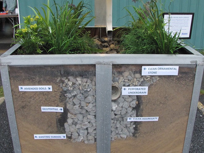
…there will be a tour of a comprehensive stream and floodplain rehabilitation project in Manheim Memorial Park adjacent to the fair grounds…

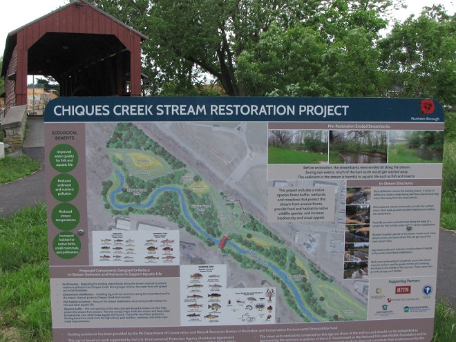
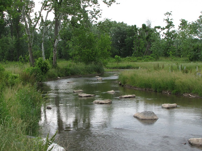
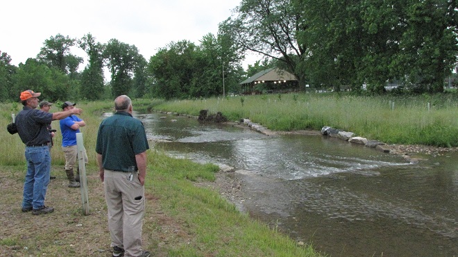
…and a highlight of the evening will be using an electrofishing apparatus to collect a sample of the fish now populating the rehabilitated segment of stream…
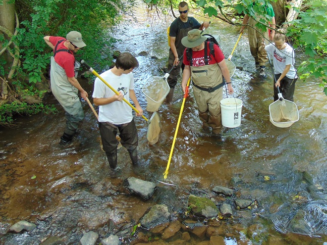
…so don’t miss it. We can hardly wait to see you there!
The 2023 Watershed Expo is part of Lancaster Conservancy Water Week.
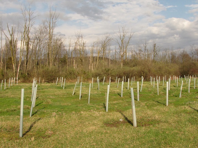
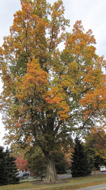
This linear grove of mature trees, many of them nearly one hundred years old, is a planting of native White Oaks (Quercus alba) and Swamp White Oaks (Quercus bicolor).
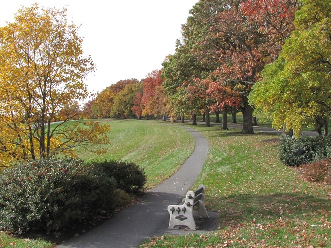
Imagine the benefit of trees like this along that section of stream you’re mowing or grazing right now. The Swamp White Oak in particular thrives in wet soils and is available now for just a couple of bucks per tree from several of the lower Susquehanna’s County Conservation District Tree Sales. These and other trees and shrubs planted along creeks and rivers to create a riparian buffer help reduce sediment and nutrient pollution. In addition, these vegetated borders protect against soil erosion, they provide shade to otherwise sun-scorched waters, and they provide essential wildlife habitat. What’s not to love?
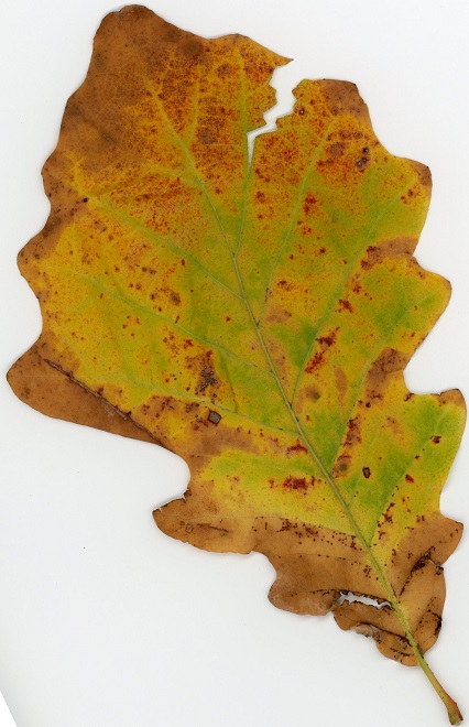
The following native species make great companions for Swamp White Oaks in a lowland setting and are available at bargain prices from one or more of the County Conservation District Tree Sales now underway…
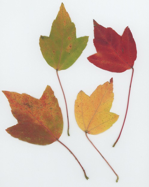
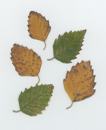
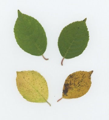
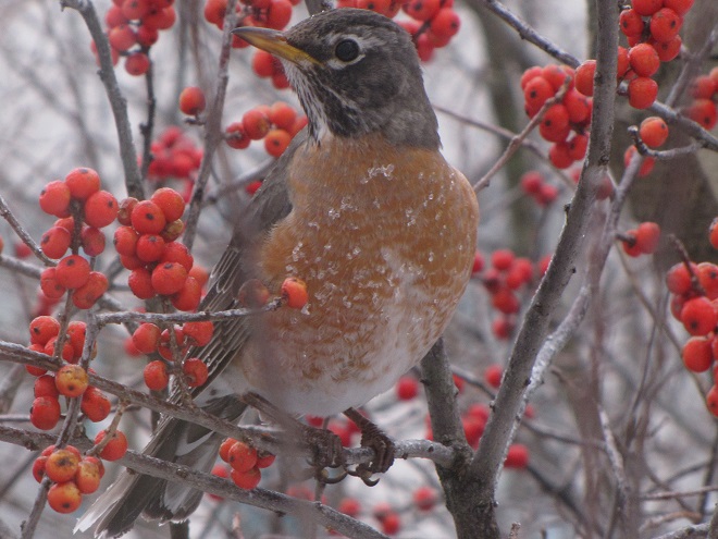
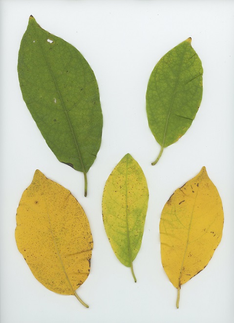
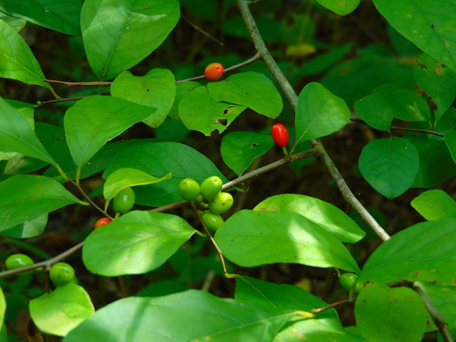
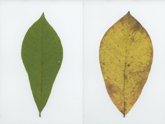
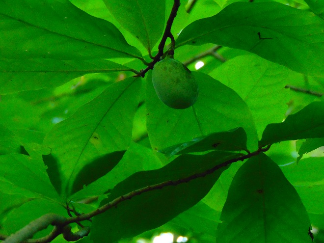
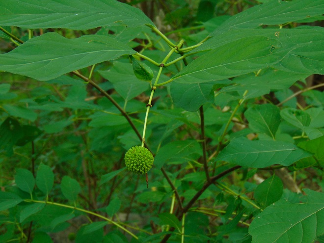

So don’t mow, do something positive and plant a buffer!
Act now to order your plants because deadlines are approaching fast. For links to the County Conservation District Tree Sales in the Lower Susquehanna River Watershed, see our February 18th post.
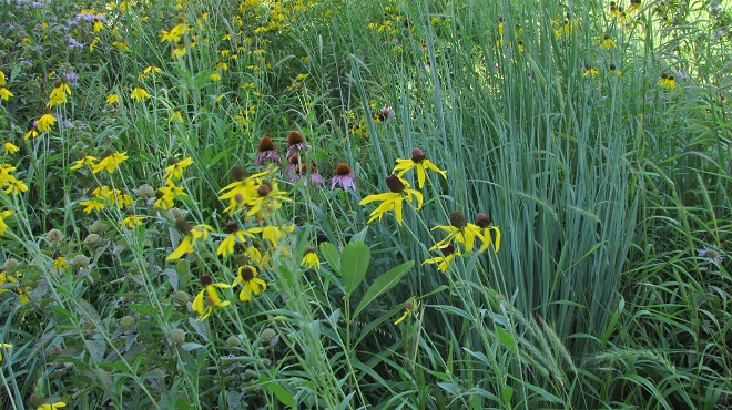
County Conservation District Tree Sales are underway throughout the Lower Susquehanna River Watershed. Now is the time to order for pickup in April. The prices are a bargain and the selection is fabulous. For species descriptions and more details, visit each tree sale web page (click the sale name highlighted in blue). And don’t forget to order bundles of evergreens for planting in mixed clumps and groves to provide winter shelter and summertime nesting sites for our local birds. They’re only $12.00 for a bundle of 10—can’t beat that deal!
Cumberland County Conservation District Annual Tree Seedling Sale—
Orders due by: Friday, March 24, 2023
Pickup on: Thursday, April 20, 2023 or Friday, April 21, 2023
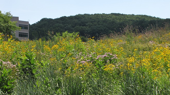
Dauphin County Conservation District Seedling Sale—
Orders due by: Monday, March 20, 2023
Pickup on: Thursday, April 20, 2023 or Friday, April 21, 2023
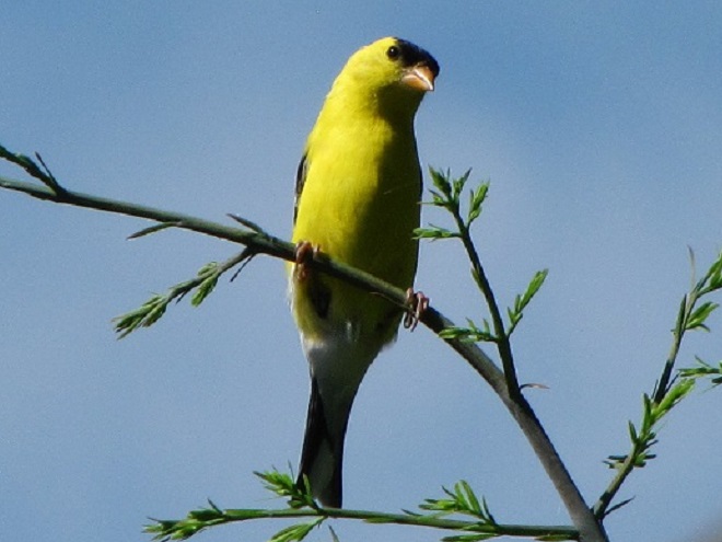
Lancaster County Annual Tree Seedling Sale—
Orders due by: Friday, March 10, 2023
Pickup on: Thursday, April 13, 2023

Lebanon County Conservation District Tree and Plant Sale—
Orders due by: Wednesday, March 8, 2023
Pickup on: Friday, April 7, 2023
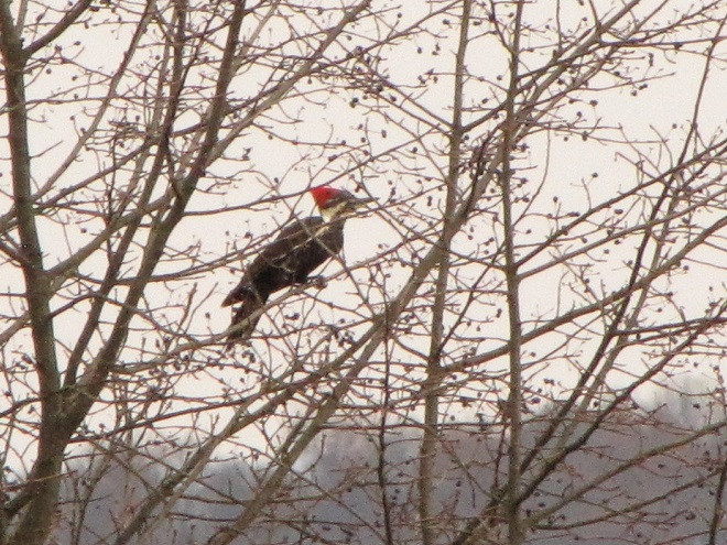
Perry County Conservation District Tree Sale—(click on 2023 Tree Sale Brochure tab when it scrolls across the page)
Orders due by: March 22, 2023
Pickup on: Thursday, April 13, 2023
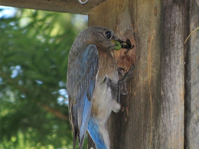
At this very moment, your editor is comfortably numb and is, if everything is going according to plans, again having a snake run through the plumbing in his body’s most important muscle. It thus occurs to him how strange it is that with muscles as run down and faulty as his, people at one time asked him to come speak about and display his marvelous mussels. And some, believe it or not, actually took interest in such a thing. If the reader finds this odd, he or she would not be alone. But the peculiarities don’t stop there. The reader may find further bewilderment after being informed that the editor’s mussels are now in the collection of a regional museum where they are preserved for study by qualified persons with scientific proclivities. All of this show and tell was for just one purpose—to raise appreciation and sentiment for our mussels, so that they might be protected.
Click on the “Freshwater Mussels and Clams” tab at the top of this page to see the editor’s mussels, and many others as well. Then maybe you too will want to flex your muscles for our mussels. They really do need, and deserve, our help.
We’ll be back soon.
As deciduous trees lose their foliage in coming days, it’s an excellent time to pick up and examine some samples from the species you encounter during your autumn strolls. Uncle Tyler Dyer is assembling the leaves he finds into a guide for identifying the most common wild and naturalized trees, shrubs, and woody vines of the Lower Susquehanna River Watershed. To use it, click on the “Trees, Shrubs, and Woody Vines” tab at the top of this page and check out…

…better known as Uncle Tyler’s leaf collection.
Thinking about doing some planting on your property during the fall or in the spring? Before you do, peruse the gorgeous colors offered by the native species shown on Uncle Ty’s page. You might never go back to those short-lived high maintenance cultivars of imported species ever again. And by choosing a variety of native plants, you’ll be helping wildlife too.
Oh, by the way—thanks Uncle Ty. Yes, it is far out!
The Pennsylvania Department of Environmental Protection has issued a “drought watch” for much of the state’s Susquehanna basin including Dauphin, Lebanon, and Perry Counties—plus those counties to their north. Residents are asked to conserve water in the affected areas.
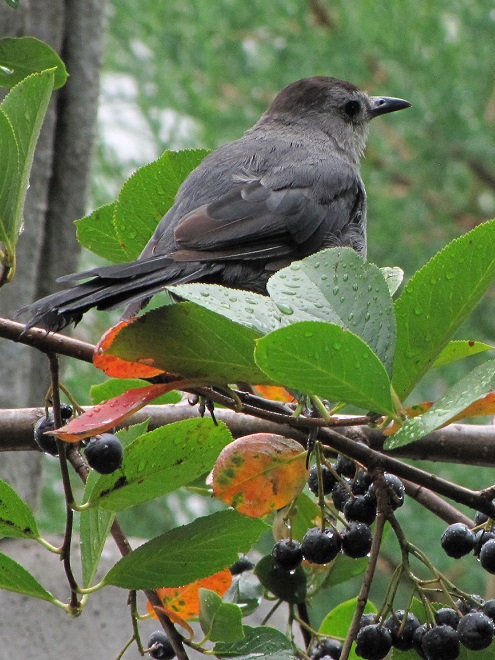
Thoughts of October in the Lower Susquehanna River Watershed bring to mind scenes of brilliant fall foliage adorning wooded hillsides and stream courses, frosty mornings bringing an end to the growing season, and geese and other birds flying south for the winter.
The autumn migration of birds spans a period equaling nearly half the calendar year. Shorebirds and Neotropical perching birds begin moving through as early as late July, just as daylight hours begin decreasing during the weeks following their peak at summer solstice in late June. During the darkest days of the year, those surrounding winter solstice in late December, the last of the southbound migrants, including some hawks, eagles, waterfowl, and gulls, may still be on the move.
During October, there is a distinct change in the list of species an observer might find migrating through the lower Susquehanna valley. Reduced hours of daylight and plunges in temperatures—particularly frost and freeze events—impact the food sources available to birds. It is during October that we say goodbye to the Neotropical migrants and hello to those more hardy species that spend their winters in temperate climates like ours.
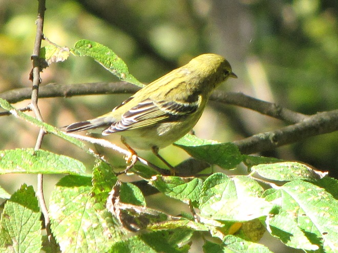
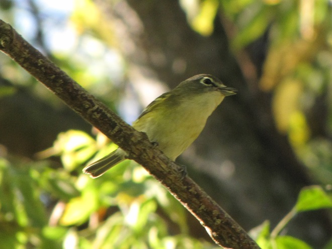
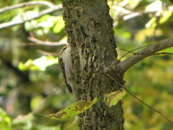
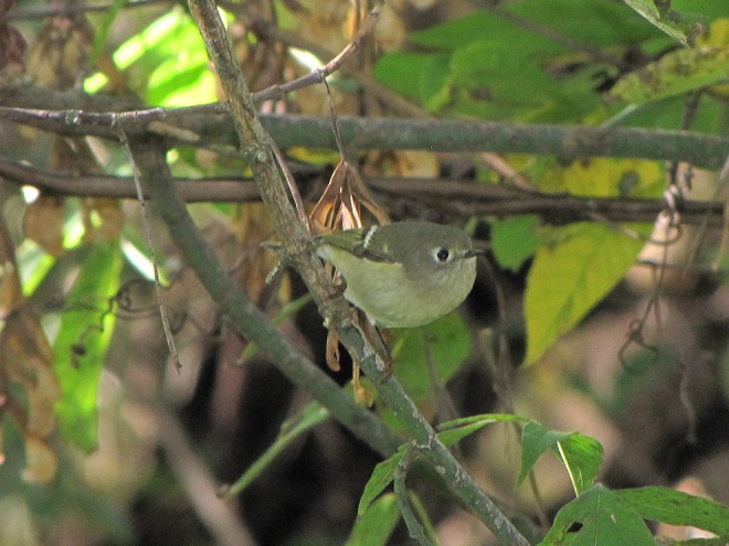

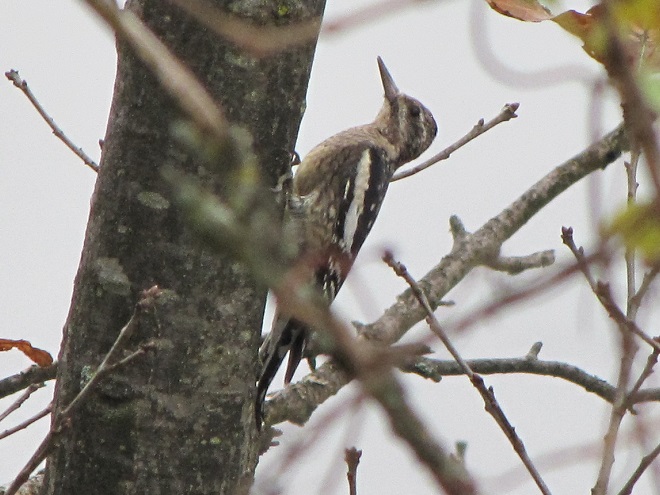
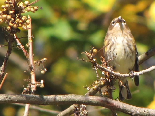
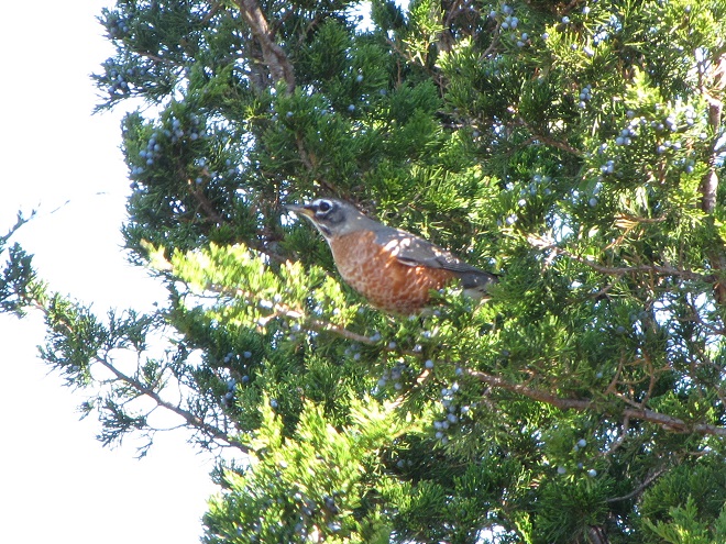
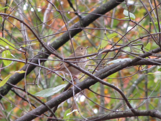
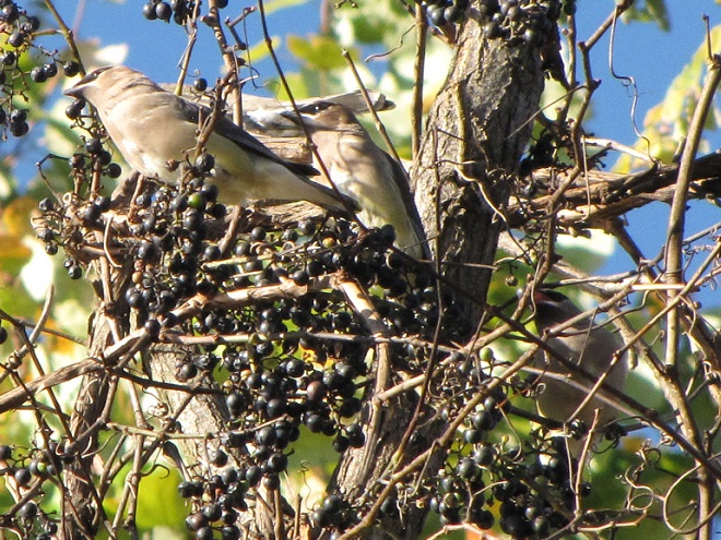
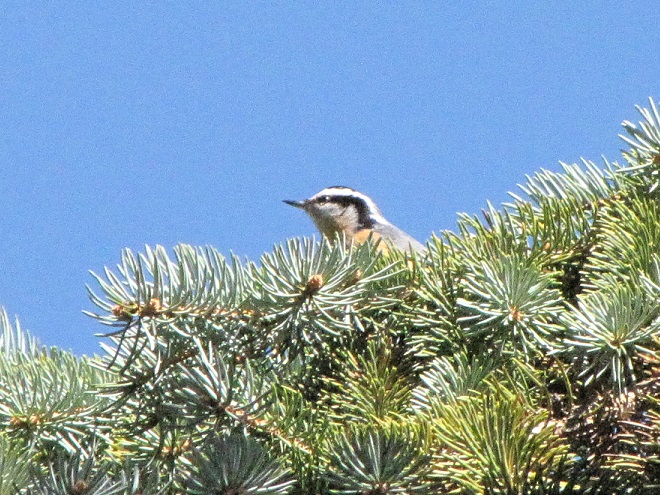
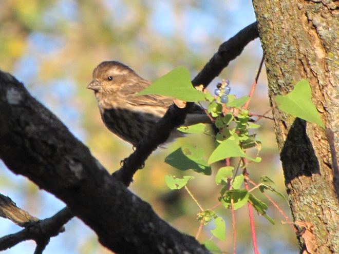
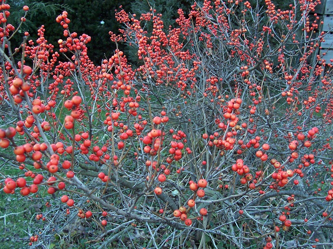
The need for food and cover is critical for the survival of wildlife during the colder months. If you are a property steward, think about providing places for wildlife in the landscape. Mow less. Plant trees, particularly evergreens. Thickets are good—plant or protect fruit-bearing vines and shrubs, and allow herbaceous native plants to flower and produce seed. And if you’re putting out provisions for songbirds, keep the feeders clean. Remember, even small yards and gardens can provide a life-saving oasis for migrating and wintering birds. With a larger parcel of land, you can do even more.
Today’s arrivals—Neotropical migrants found in a streamside thicket in the Lower Susquehanna River Watershed this morning…
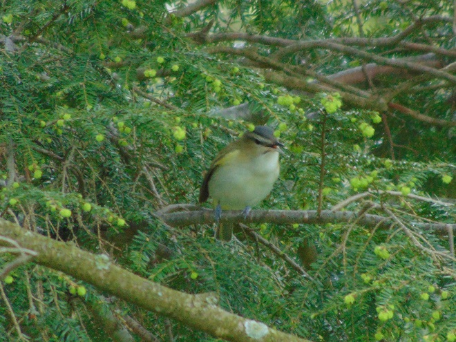
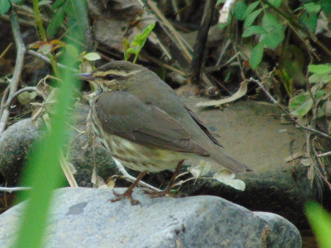
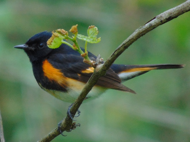
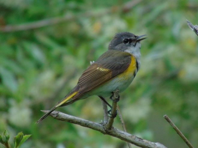
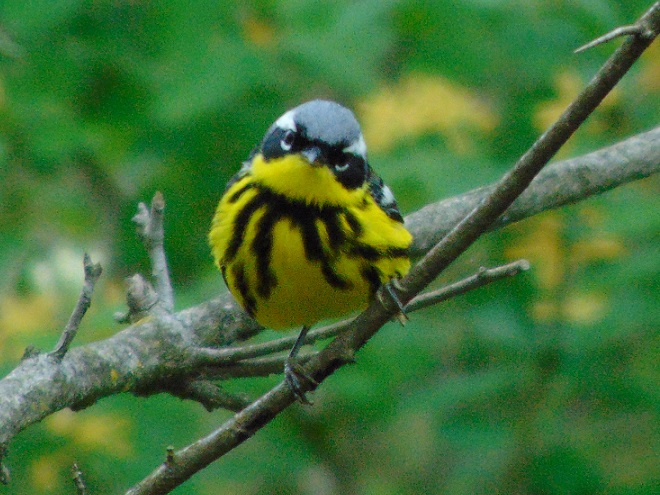
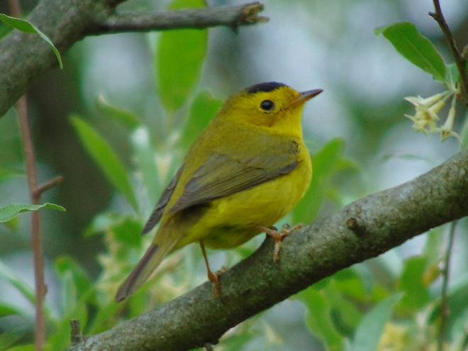
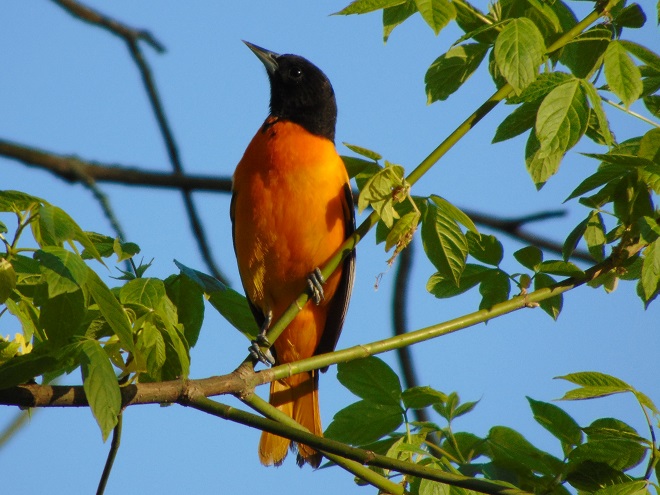
You need to get outside and go for a walk. You’ll be sorry if you don’t. It’s prime time to see wildlife in all its glory. The songs and colors of spring are upon us!
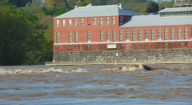
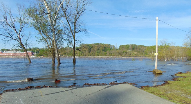
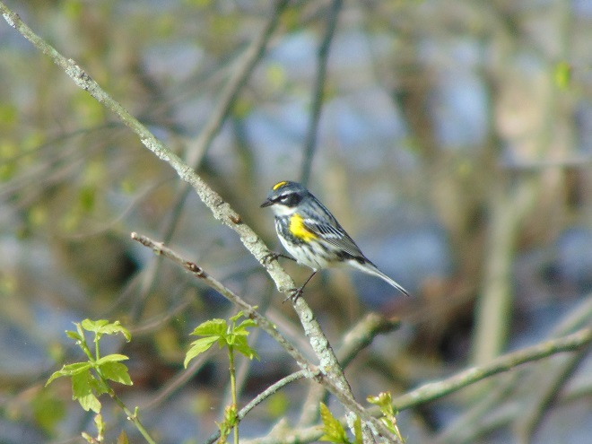
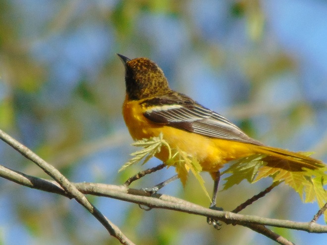
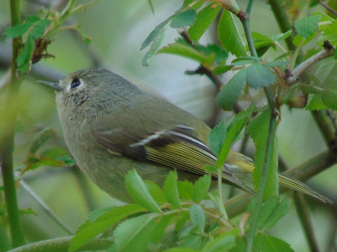
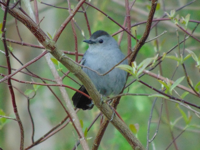
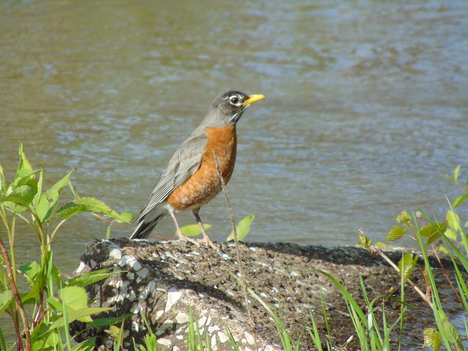
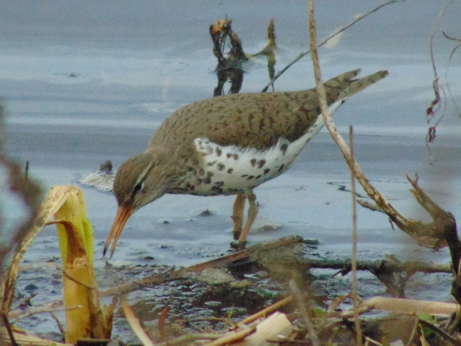
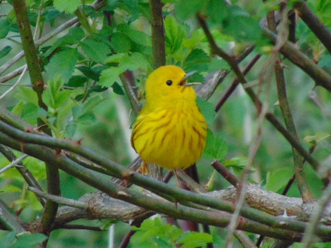
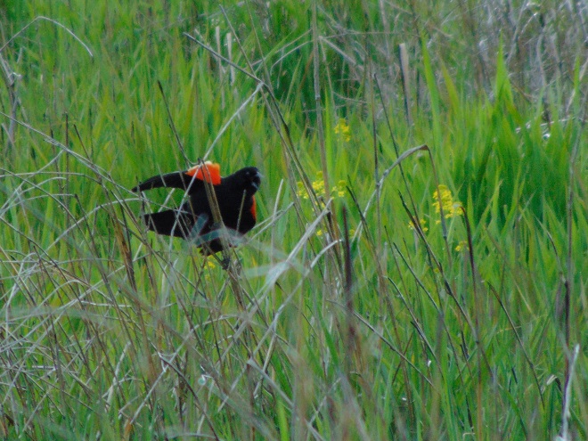
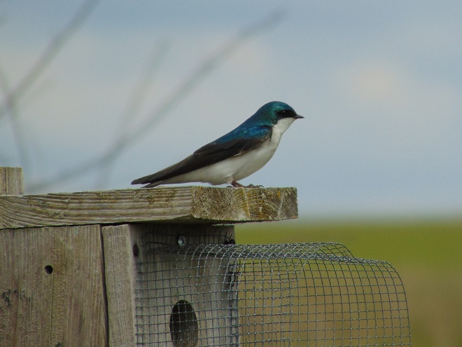
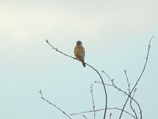
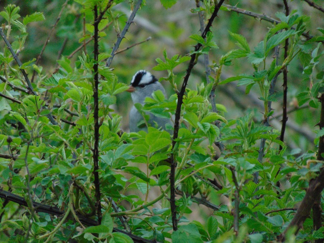
If you’re not up to a walk and you just want to go for a slow drive, why not take a trip to Middle Creek Wildlife Management Area and visit the managed grasslands on the north side of the refuge. To those of us over fifty, it’s a reminder of how Susquehanna valley farmlands were before the advent of high-intensity agriculture. Take a look at the birds found there right now.
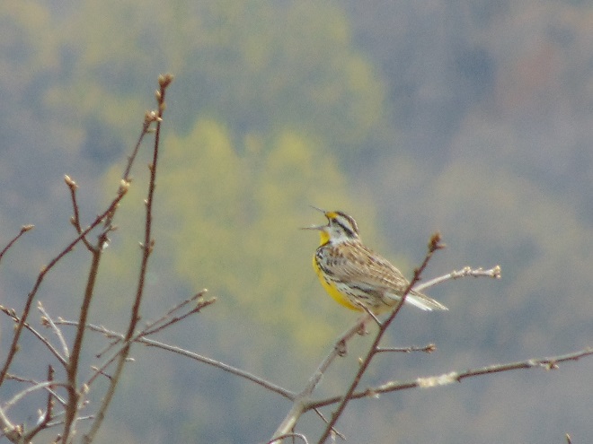
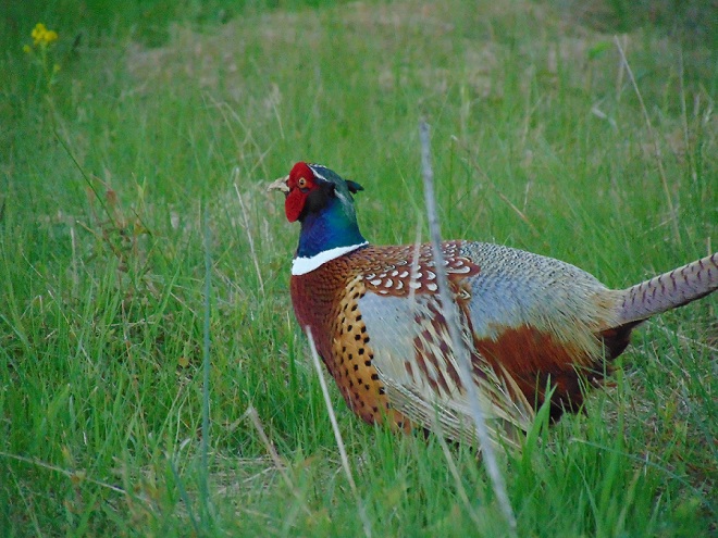
And remember, if you happen to own land and aren’t growing crops on it, put it to good use. Mow less, live more. Mow less, more lives.
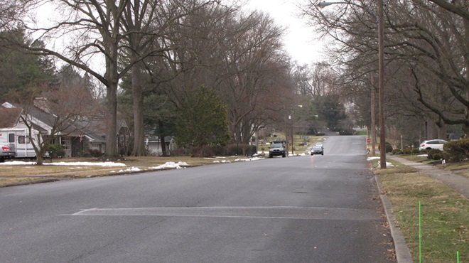
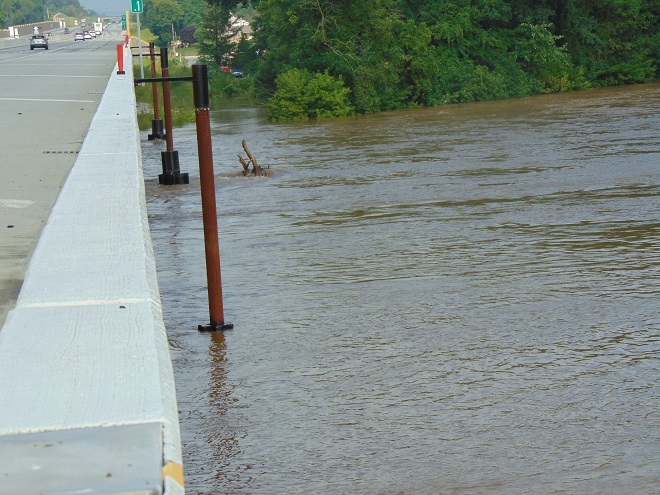
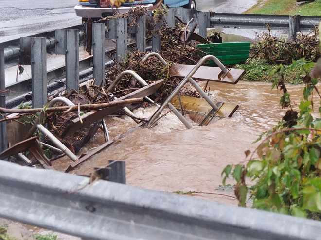
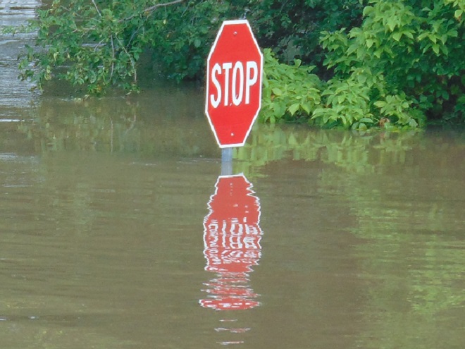
It was a routine occurrence in many communities along tributaries of the lower Susquehanna River during the most recent two months. The rain falls like it’s never going to stop—inches an hour. Soon there is flash flooding along creeks and streams. Roads are quickly inundated. Inevitably, there are motorists caught in the rising waters and emergency crews are summoned to retrieve the victims. When the action settles, sets of saw horses are brought to the scene to barricade the road until waters recede. At certain flood-prone locations, these events are repeated time and again. The police, fire, and Emergency Medical Services crews seem to visit them during every torrential storm—rain, rescue, rinse, and repeat.
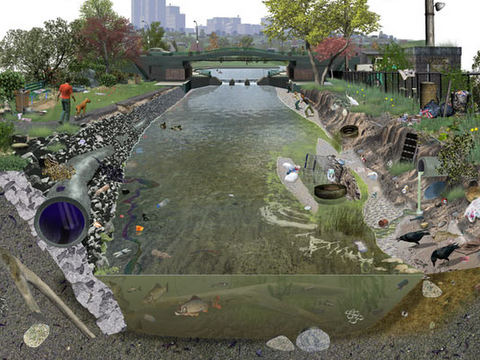
We treat our local streams and creeks like open sewers. Think about it. We don’t want rainwater accumulating on our properties. We pipe it away and grade the field, lawn, and pavement to roll it into the neighbor’s lot or into the street—or directly into the waterway. It drops upon us as pure water and we instantly pollute it. It’s a method of diluting all the junk we’ve spread out in its path since the last time it rained. A thunderstorm is the big flush. We don’t seem too concerned about the litter, fertilizer, pesticides, motor fluids, and other consumer waste it takes along with it. Out of sight, out of mind.
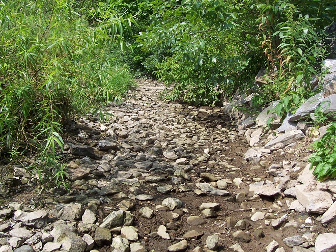
Perhaps our lack of respect for streams and creeks is the source of our complete ignorance of the function of floodplains.
Floodplains are formed over time as hydraulic forces erode bedrock and soils surrounding a stream to create adequate space to pass flood waters. As floodplains mature they become large enough to reduce flood water velocity and erosion energy. They then function to retain, infiltrate, and evaporate the surplus water from flood events. Microorganisms, plants, and other life forms found in floodplain wetlands, forests, and grasslands purify the water and break down naturally-occurring organic matter. Floodplains are the shock-absorber between us and our waterways. And they’re our largest water treatment facilities.
Why is it then, that whenever a floodplain floods, we seem motivated to do something to fix this error of nature? Man can’t help himself. He has a compulsion to fill the floodplain with any contrivance he can come up with. We dump, pile, fill, pave, pour, form, and build, then build some more. At some point, someone notices a stream in the midst of our new creation. Now it’s polluted and whenever it storms, the darn thing floods into our stuff—worse than ever before. So the project is crowned by another round of dumping, forming, pouring, and building to channelize the stream. Done! Now let’s move all our stuff into our new habitable space.


The majority of the towns in the lower Susquehanna valley with streams passing through them have impaired floodplains. In many, the older sections of the town are built on filled floodplain. Some new subdivisions highlight streamside lawns as a sales feature—plenty of room for stockpiling your accoutrements of suburban life. And yes, some new homes are still being built in floodplains.
When high water comes, it drags tons of debris with it. The limbs, leaves, twigs, and trees are broken down by natural processes over time. Nature has mechanisms to quickly cope with these organics. Man’s consumer rubbish is another matter. As the plant material decays, the embedded man-made items, particularly metals, treated lumber, plastics, Styrofoam, and glass, become more evident as an ever-accumulating “garbage soil” in the natural floodplains downstream of these impaired areas. With each storm, some of this mess floats away again to move ever closer to Chesapeake Bay and the Atlantic. Are you following me? That’s our junk from the curb, lawn, highway, or parking lot bobbing around in the world’s oceans.



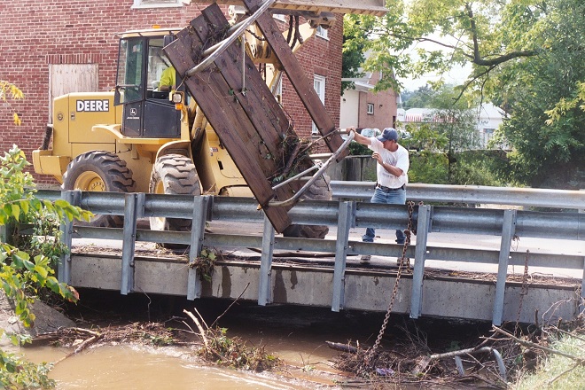
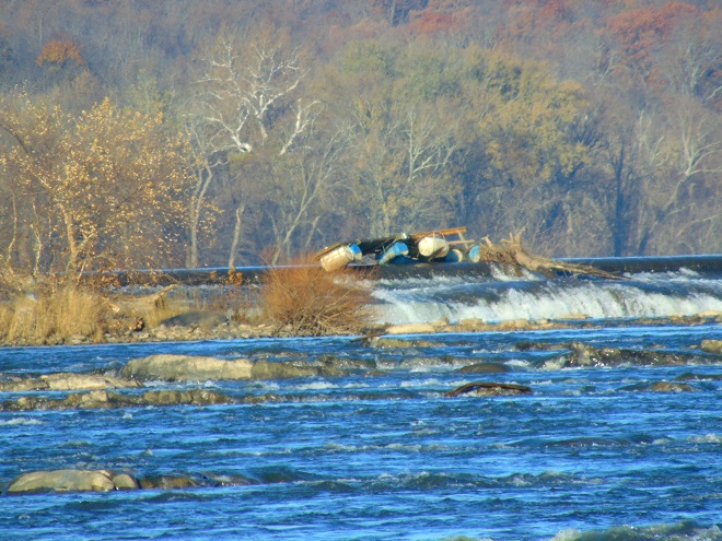
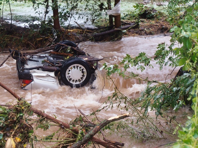
Beginning in 1968, participating municipalities, in exchange for having coverage provided to their qualified residents under the National Flood Insurance Program, were required to adopt and enforce a floodplain management ordinance. The program was intended to reduce flood damage and provide flood assistance funded with premiums paid by potential victims. The program now operates with a debt incurred during severe hurricanes. Occurrences of repetitive damage claims and accusations that the program provides an incentive for rebuilding in floodplains have made the National Flood Insurance Program controversial.
In the Lower Susquehanna River Watershed there are municipalities that still permit new construction in floodplains. Others are quite proactive at eliminating new construction in flood-prone zones, and some are working to have buildings removed that are subjected to repeated flooding.
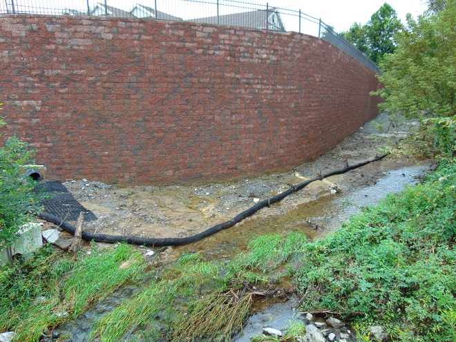
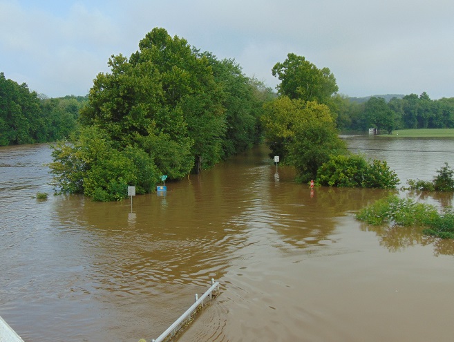

There are two Conewago Creek systems in the Lower Susquehanna River Watershed. One drains the Gettysburg Basin west of the river, mostly in Adams and York Counties, then flows into the Susquehanna at the base of Conewago Falls. The other drains the Gettysburg Basin east of the river, flowing through Triassic redbeds of the Gettysburg Formation and York Haven Diabase before entering Conewago Falls near the south tip of Three Mile Island. Both Conewago Creeks flow through suburbia, farm, and forest. Both have their capacity to support aquatic life impaired and diminished by nutrient and sediment pollution.
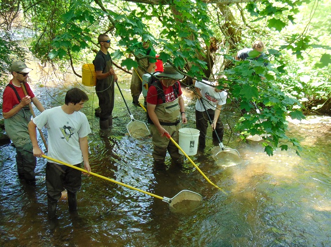
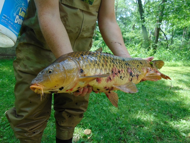
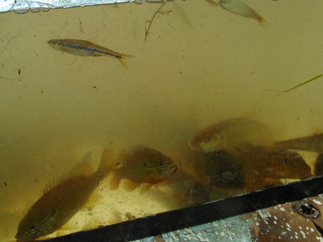
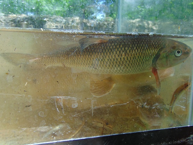
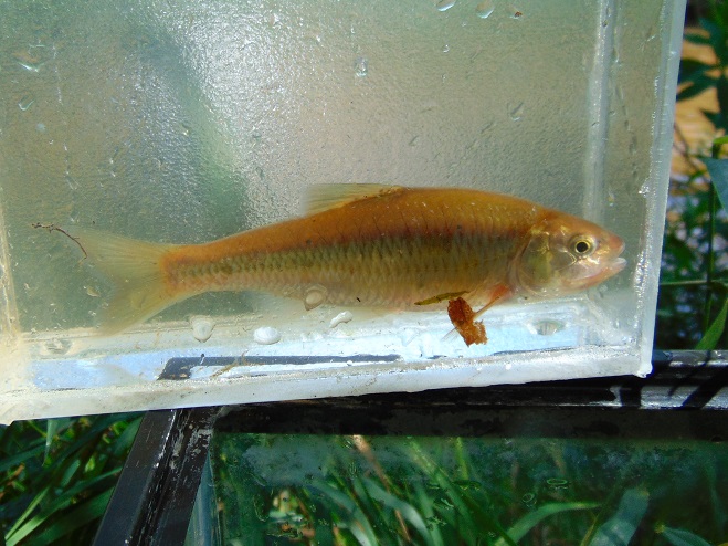
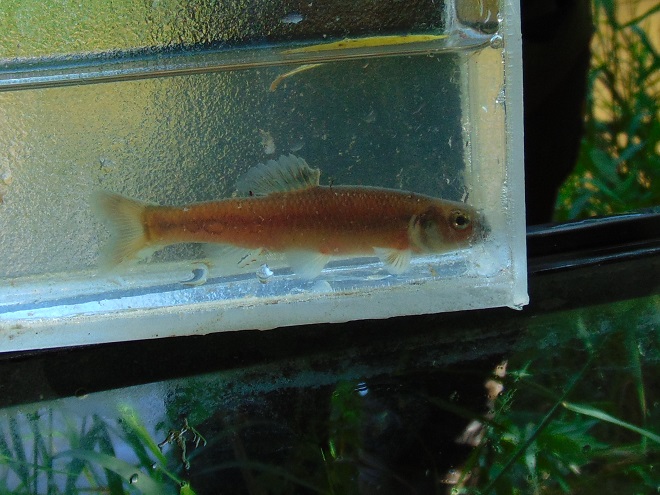
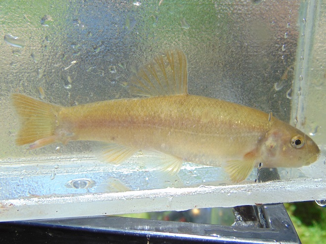
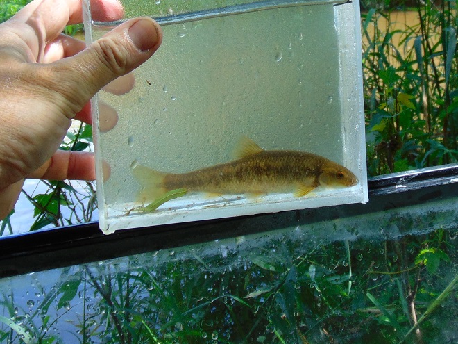
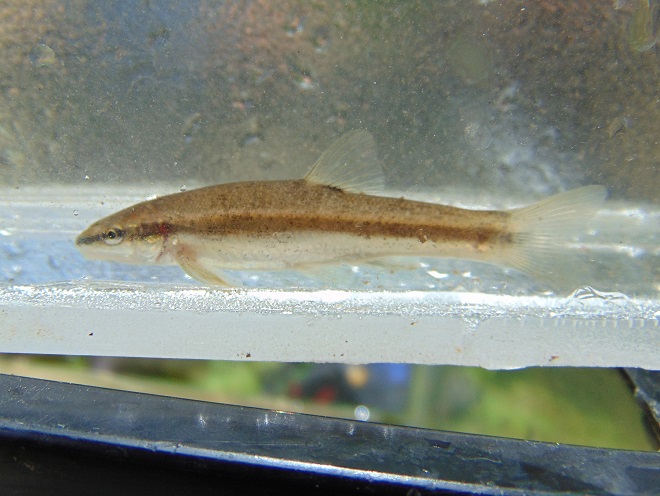
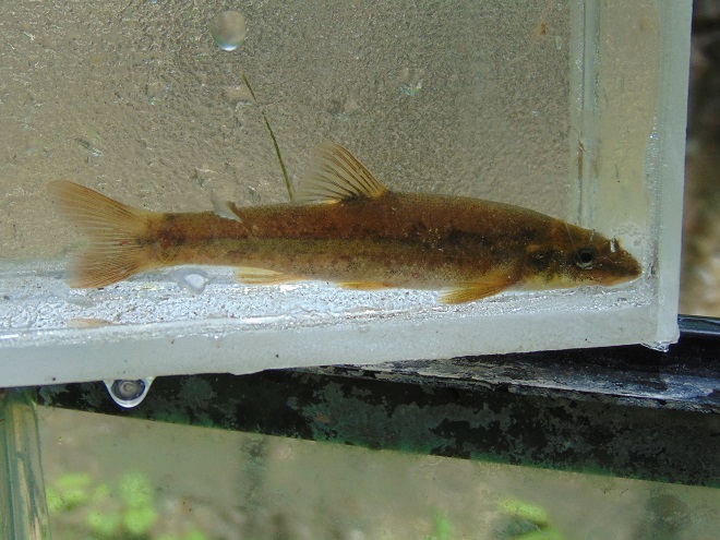
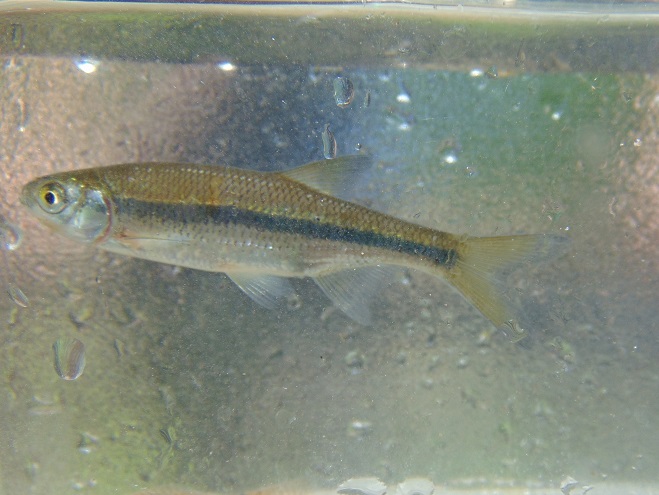
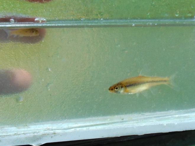
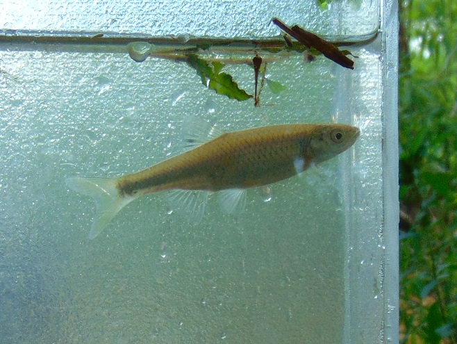
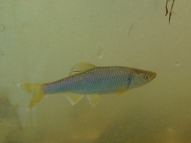
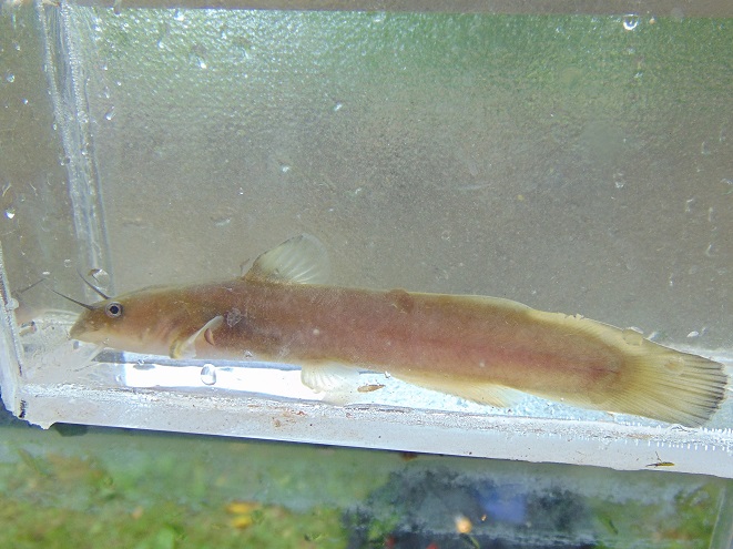
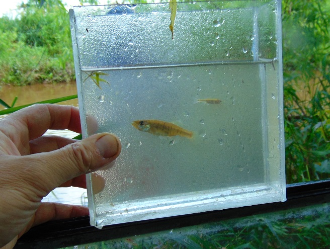
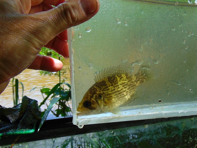
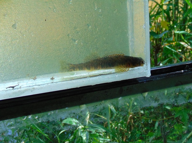
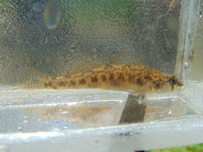
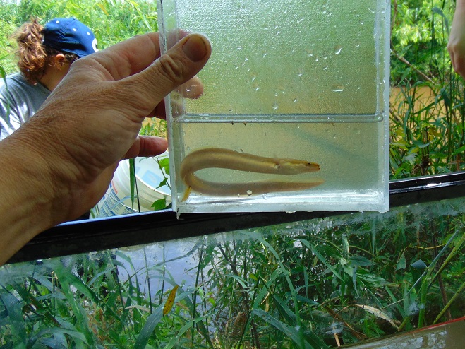
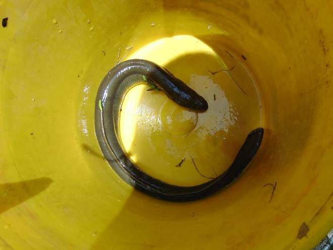
This week, some of the many partners engaged in a long-term collaboration to restore the east shore’s Conewago Creek met to have a look at one of the prime indicators of overall stream habitat health—the fishes. Kristen Kyler of the Lower Susquehanna Initiative organized the effort. Portable backpack-mounted electrofishing units and nets were used by crews to capture, identify, and count the native and non-native fishes at sampling locations which have remained constant since prior to the numerous stream improvement projects which began more than ten years ago. Some of the present-day sample sites were first used following Hurricane Agnes in 1972 by Stambaugh and Denoncourt and pre-date any implementation of sediment and nutrient mitigation practices like cover crops, no-till farming, field terracing, stormwater control, nutrient management, wetland restoration, streambank fencing, renewed forested stream buffers, or modernized wastewater treatment plants. By comparing more recent surveys with this baseline data, it may be possible to discern trends in fish populations resulting not only from conservation practices, but from many other variables which may impact the Conewago Creek Warmwater Stream ecosystem in Dauphin, Lancaster, and Lebanon Counties.
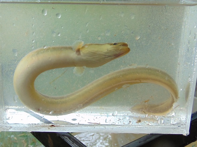
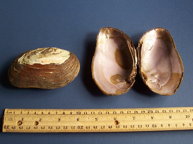
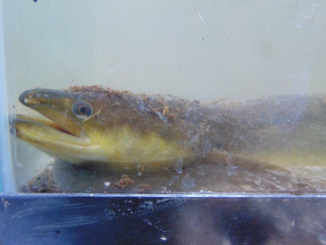
So here they are. Enjoy these shocking fish photos.
SOURCES
Normandeau Associates, Inc. and Gomez and Sullivan. 2018. Muddy Run Pumped Storage Project Conowingo Eel Collection Facility FERC Project 2355. Prepared for Exelon.
Stambaugh, Jr., John W., and Robert P. Denoncourt. 1974. A Preliminary Report on the Conewago Creek Faunal Survey, Lancaster County, Pennsylvania. Proceedings of the Pennsylvania Academy of Sciences. 48: 55-60.