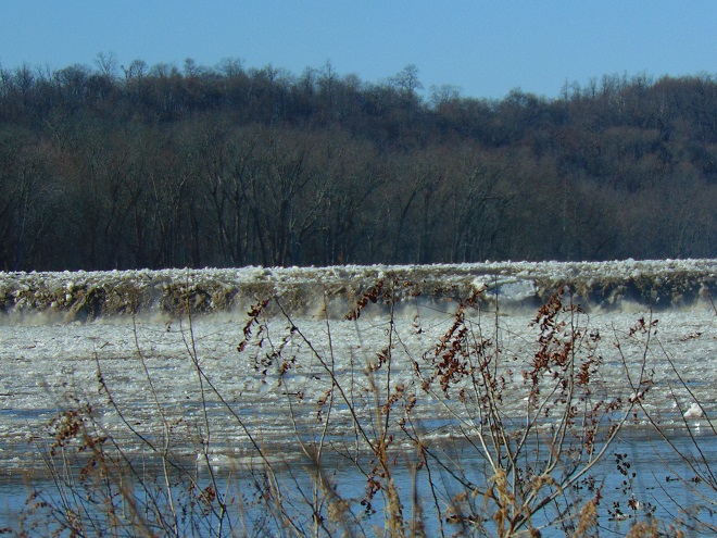
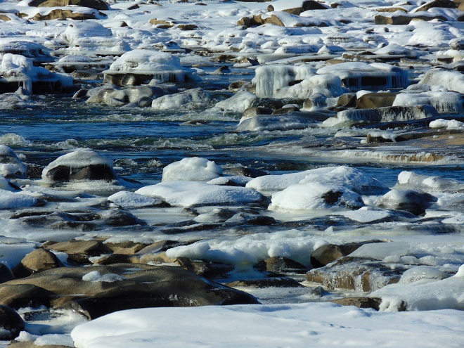
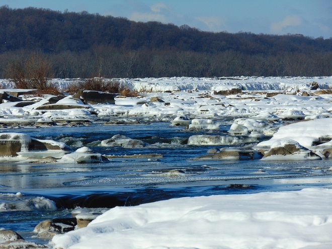
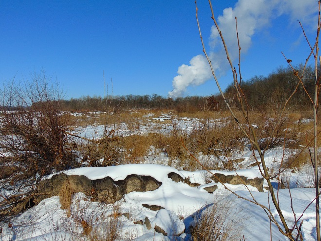
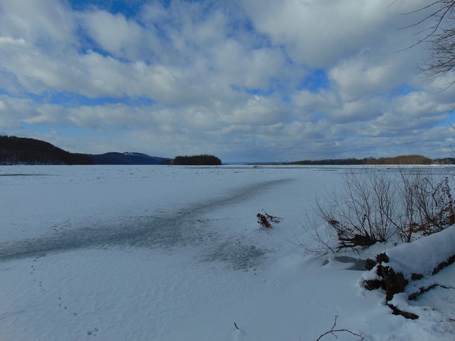
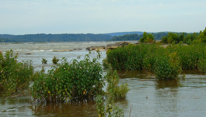
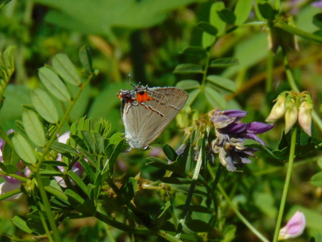
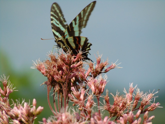
As they travel between coastal wintering ranges and breeding territories in Canada and Alaska, vast numbers of shorebirds pass through the lower Susquehanna region each spring and fall—though few stop here to rest, feed, and provide us with an opportunity to observe them. Prior to the construction of man-made dams and other alterations on our lotic (flowing) waterways including the river, shorebirds took advantage of lateral bars, stream deltas, and other alluvial deposits as places to loaf and re-energize. Before they were drained and filled, some of the valley’s wetlands probably included sparsely vegetated flats where shorebirds could drop in for a brief visit. Previous to their extirpation from our region, North American Beavers were the primary providers of quality habitat for shorebirds and other migrating waders on our lotic waters. Their widespread network of dams, pools, and marshes maximized floodplain function by keeping streams thoroughly connected to their wetlands, nurturing plant communities that not only provided food and shelter for the beavers and other wildlife, but provided superb buffering against erosion while protecting against sediment and nutrient imbalances in lower Susquehanna waterways.


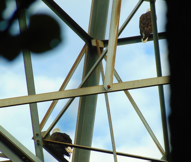
So how did this happen? How did the North American Beaver become a keystone species—an animal upon which the majority of other life forms within its ecosystem are so reliant? Well, it’s largely due to the fact that our beavers aren’t particularly fond of a constant stream of noise. More specifically, they don’t like the sound of running water in places where they intend to build and maintain a lodge. And so, as they begin to place sticks, mud, limbs, stones, and other materials within a noisy riffle on a stream, they create a dam, and behind it a pool—a pool that is particularly advantageous for protecting their home and providing a means of conveyance for their construction materials and food supplies.


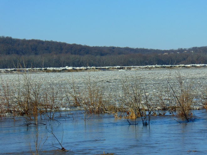
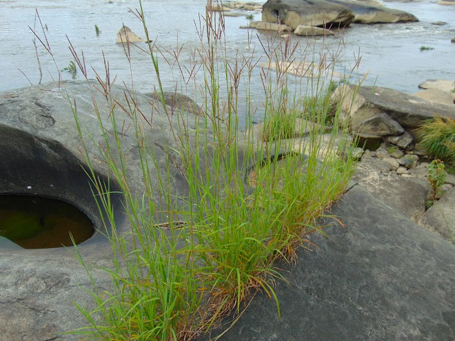
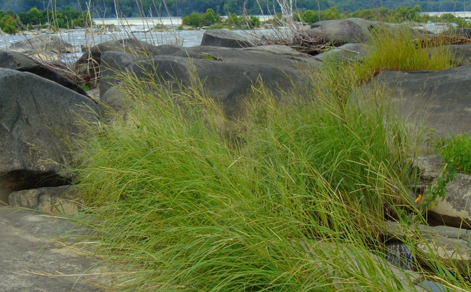
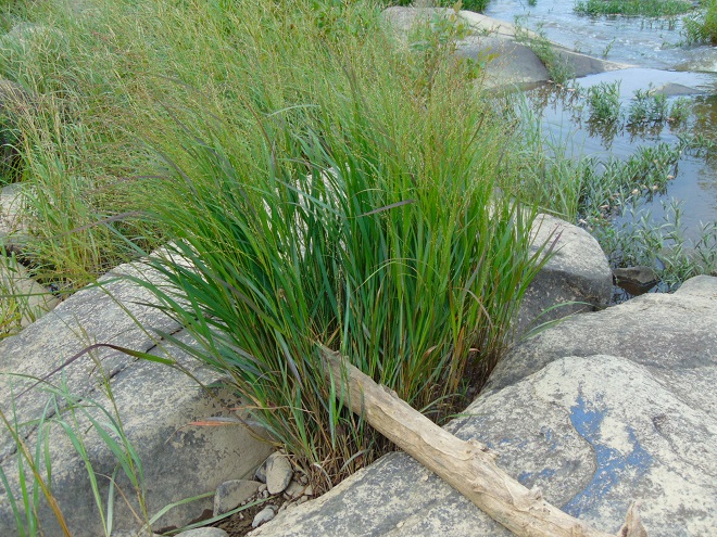
While North American Beavers have returned to the region, most live as “bank beavers”, residing in the river and larger creeks of the valley where they excavate shelters among the roots of Black Willows and other shoreline trees and shrubs. Floodplain encroachment, legacy sediment deposits, and just plain human intolerance have all conspired to prohibit North American Beavers from performing their magic on smaller local streams. For migrating shorebirds, this continued absence of beaver dam ecosystems has turned much of the lower Susquehanna valley into “flyover country”. Those travelers that do stop to rest and feed concentrate at the few favorable locations such as the lateral bars and the hydroelectric dam-created delta at the Conejohela Flats on the river in Lancaster County. But centralization has its drawbacks. Migrants spending time at concentration points may have a greater chance of contracting and spreading disease. Protracted heavy foraging can degrade these habitats. And over time, features such the lateral bars and delta deposits, including those on the Conejohela Flats, transition into other habitats—riparian forests. A more widespread selection of favorable stopover points for shorebirds, waders, waterfowl, and other migrants is certainly desirable.
IMITATION IS THE SINCEREST FORM OF FLATTERY
Until public sentiment sways in favor of the North American Beaver, wildlife managers are mimicking some of the attributes of their sound-inspired installations.

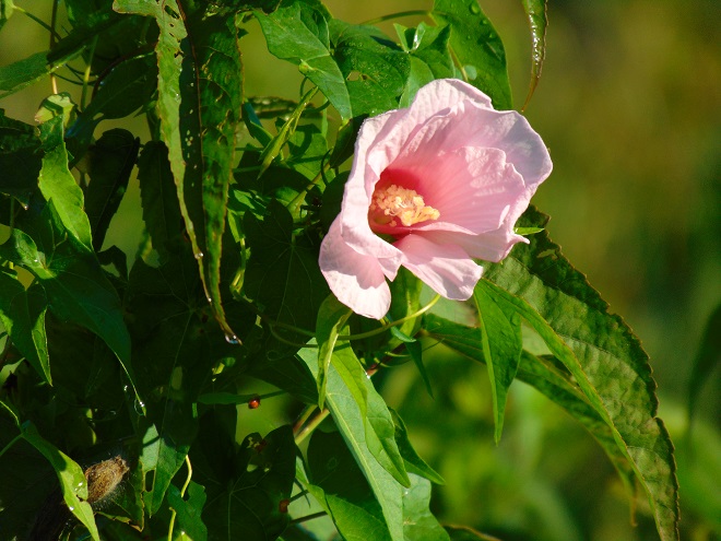
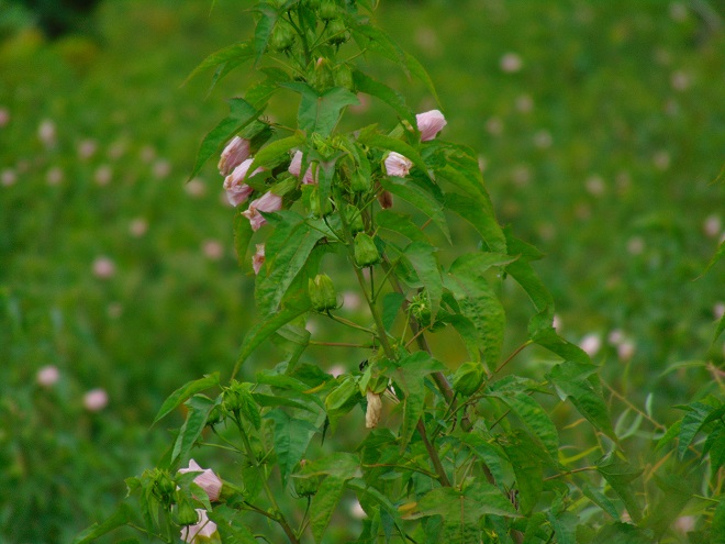
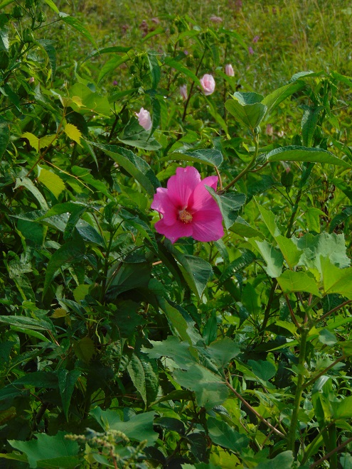
Shallow-water conservation impoundments designed, constructed, and managed for migratory waterfowl and waders including shorebirds are not what we typically refer to as ponds—though they are lentic (still) waters. Similar shallow freshwater impoundments at our National Wildlife Refuges are referred to as pools by the United States Fish and Wildlife Service, but smaller versions like this example at Middle Creek very closely resemble the prairie potholes created by glacial scour in the north-central United States and adjacent portions of Canada. Many populations of migratory birds are familiar with pothole ecosystems and, like the beaver pools and marshes, have relied upon them as waypoints along their journeys for centuries.


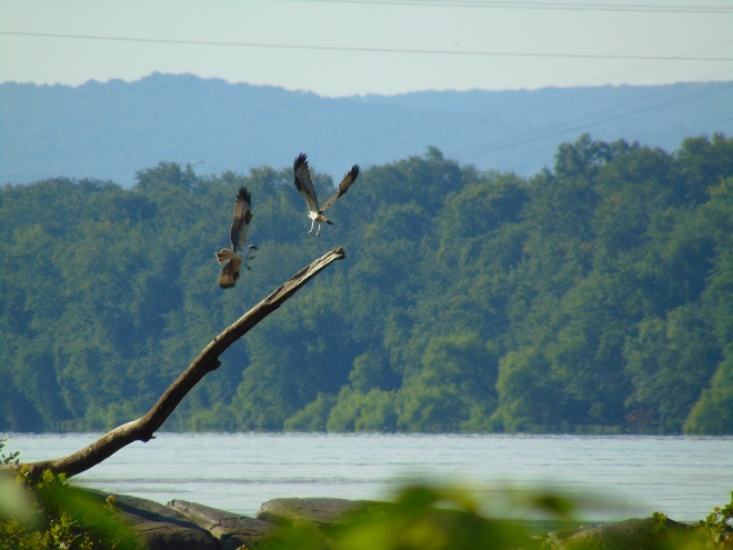
You’ve heard the line, “If you build it, they will come.” Well, it’s true. Here is a sample of the activity witnessed during the past two weeks at the new impoundment completed just several months ago at Middle Creek Wildlife Management Area along the tour route just beyond the “Stop 3” overlook.


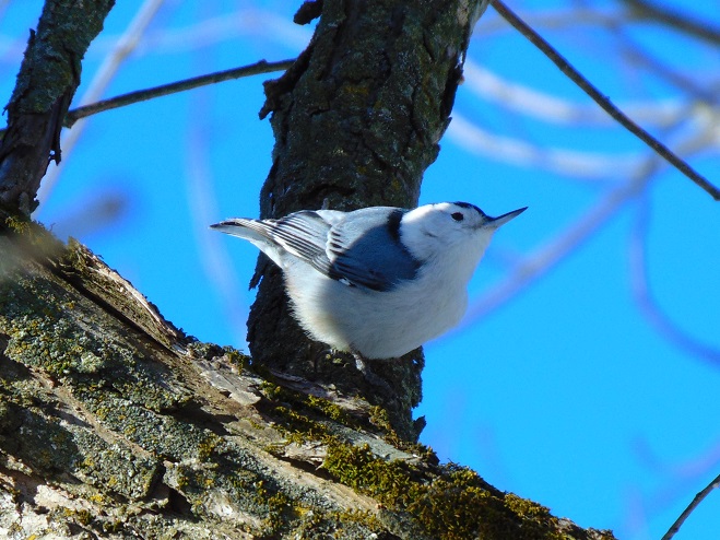
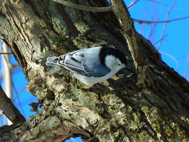
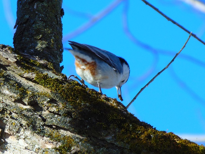
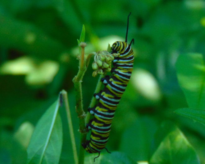
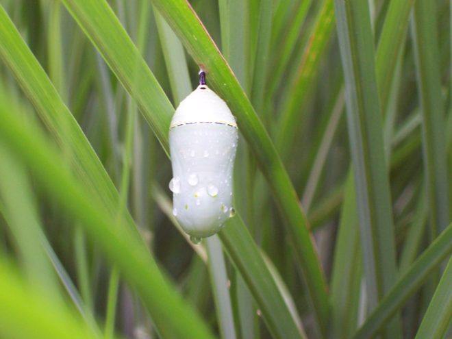
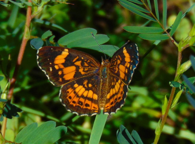
Species of wildlife in addition to shorebirds and waterfowl have already found the new impoundment favorable…


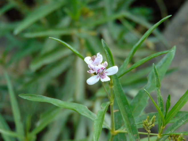
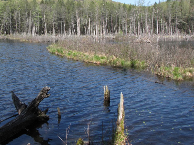
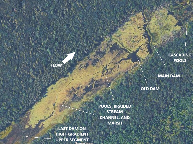
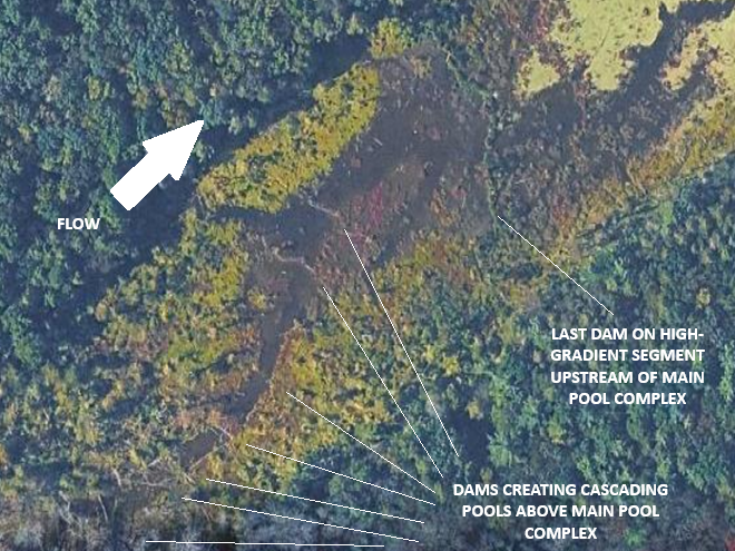
Managing saturation levels in shallow-water impoundments to resemble the seasonal variations in beaver pool and marsh systems can create lush growth and wildlife-rich environments. Take a look at some images from a project in a headwaters area of a tributary to Conewago Creek (west)…


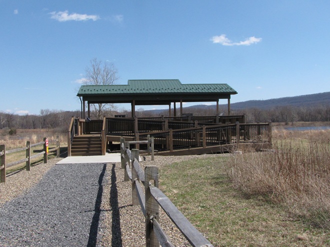
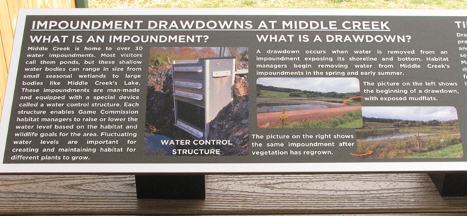
So that you can relax while observing the comings and goings at a pair of the lower Susquehanna valley’s man-made impoundments, the Pennsylvania Game Commission has erected two viewing pavilions for public use on its lands…


During the next two weeks, the exodus of migrating shorebirds now staged and feeding upon Atlantic Horseshoe Crab eggs on Delaware Bay will commence. During the evening of their departure from the bay, many of these birds cross portions of the Lower Susquehanna River Watershed, particularly east of the river. Stormy weather and other climatic conditions may force some of them to seek a place to put down temporarily, so keeping a close eye on the new pothole-like impoundment at Middle Creek may be a prudent move. After that, waders known as “post-breeding wanderers” can show up at any time. Then, beginning as early as late June, shorebirds begin moving south on a migration that can provide us with viewing opportunities into September and beyond. See you out there!