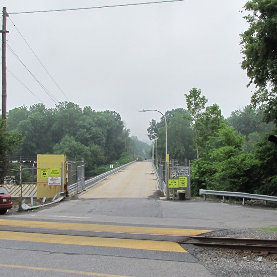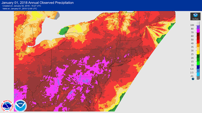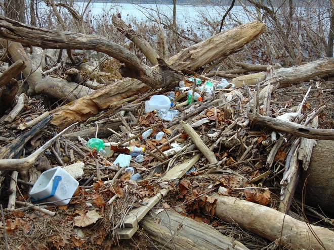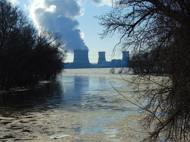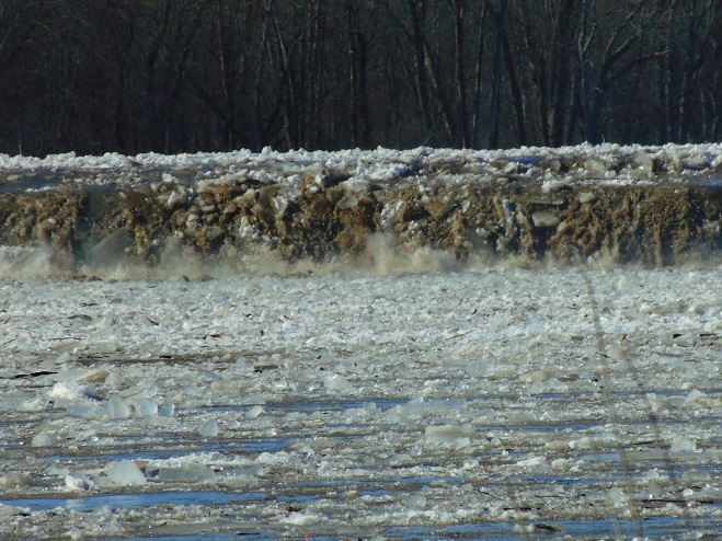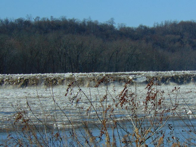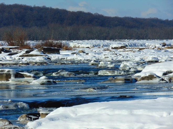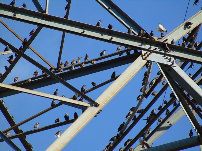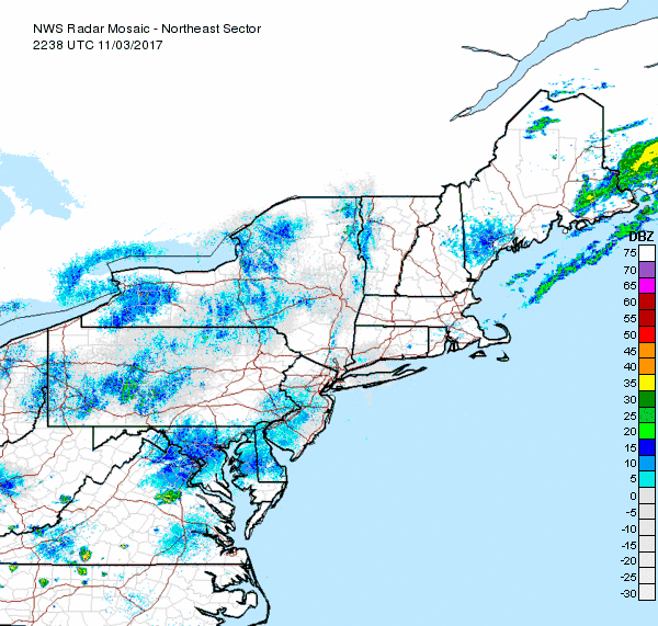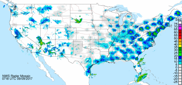
The deluge of rain that soaked the lower Susquehanna watershed during last week is now just a memory. Streams to the west of the river, where the flooding courtesy of the remnants of Hurricane Debby was most severe, have reached their crest and receded. Sliding away toward the Chesapeake and Atlantic is all that runoff, laden with a brew of pollutants including but not limited to: agricultural nutrients, sediment, petroleum products, sewage, lawn chemicals, tires, dog poop, and all that litter—paper, plastics, glass, Styrofoam, and more. For aquatic organisms including our freshwater fish, these floods, particularly when they occur in summer, can compound the effects of the numerous stressors that already limit their ability to live, thrive, and reproduce.

One of those preexisting stressors, high water temperature, can be either intensified or relieved by summertime precipitation. Runoff from forested or other densely vegetated ground normally has little impact on stream temperature. But segments of waterways receiving significant volumes of runoff from areas of sun-exposed impervious ground will usually see increases during at least the early stages of a rain event. Fortunately, projects implemented to address the negative impacts of stormwater flow and stream impairment can often have the additional benefit of helping to attenuate sudden rises in stream temperature.

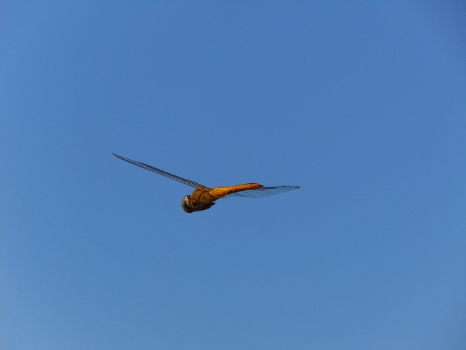
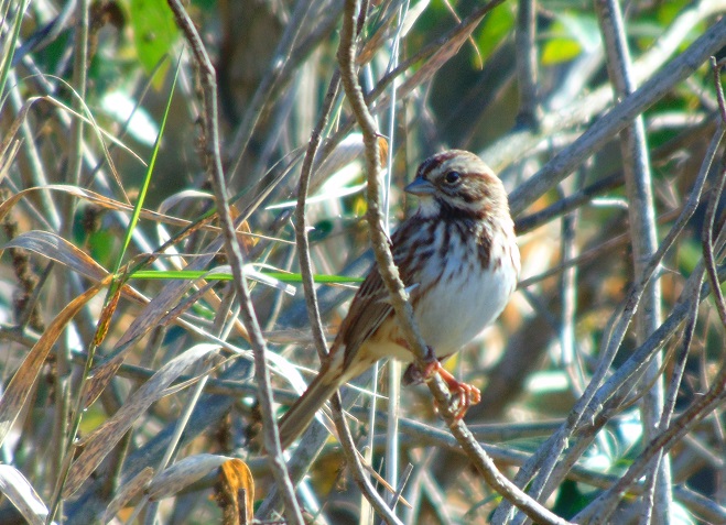
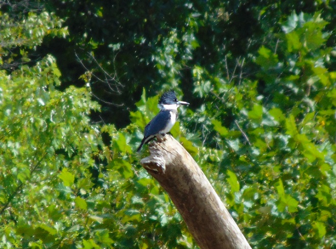
Of the fishes inhabiting the Lower Susquehanna River Watershed’s temperate streams, the least tolerant of summer warming are the trouts and sculpins—species often described as “coldwater fishes”. Coldwater fishes require water temperatures below 70° Fahrenheit to thrive and reproduce. The optimal temperature range is 50° to 65° F. In the lower Susquehanna valley, few streams are able to sustain trouts and sculpins through the summer months—largely due to the effects of warm stormwater runoff and other forms of impairment.


Coldwater fishes are generally found in small spring-fed creeks and headwaters runs. Where stream gradient, substrate, dissolved oxygen, and other parameters are favorable, some species may be tolerant of water warmer than the optimal values. In other words, these temperature classifications are not set in stone and nobody ever explained ichthyology to a fish, so there are exceptions. The Brown Trout for example is sometimes listed as a “coldwater transition fish”, able to survive and reproduce in waters where stream quality is exceptionally good but the temperature may periodically reach the mid-seventies.


More tolerant of summer heat than the trouts, sculpins, and daces are the “coolwater fishes”—species able to feed, grow, and reproduce in streams with a temperature of less than 80° F, but higher than 60° F. Coolwater fishes thrive in creeks and rivers that hover in the 65° to 70° F range during summer.


What are the causes of modern-day reductions in coldwater and coolwater fish habitats in the lower Susquehanna River and its hundreds of miles of tributaries? To answer that, let’s take a look at the atmospheric, cosmic, and hydrologic processes that impact water temperature. Technically, these processes could be measured as heat flux—the rate of heat energy transfer per unit area per unit time, frequently expressed as watts per meter squared (W/m²). Without getting too technical, we’ll just take a look at the practical impact these processes have on stream temperatures.
HEAT FLUX PROCESSES IN A SEGMENT OF STREAM

-
-
- INCOMING TEMPERATURE AND FLOW—The baseline temperature of stream water entering a given segment of waterway is obviously the chief factor determining its temperature when exiting that segment. Incoming temperature and flow also determine the water’s susceptibility to heat absorption or loss while transiting the segment. Lower flows may subject the given volume of water to a greater loss or gain of heat energy during the time needed to pass through the segment than the same volume at a higher flow. Lower flows may also reduce stream velocity and extend a given volume of water’s exposure time to the exchange of heat energy while moving through the segment. Generally speaking…
- …the higher the stream flow, the less a given volume of that stream’s water may be impacted by the effects of the heat flux processes within the segment.
- …the lower the stream flow, the more a given volume of that stream’s water may be impacted by the effects of the heat flux processes within that segment.
- …the temperature and flow rate of precipitation entering the segment are factors that determine the impact of its heat energy transfer to or from a given volume of the stream’s waters.
- …the temperature and flow rate of runoff and point-source discharges entering the segment are factors that determine the impact of their heat energy transfer to or from a given volume of the stream’s waters.
- INCOMING TEMPERATURE AND FLOW—The baseline temperature of stream water entering a given segment of waterway is obviously the chief factor determining its temperature when exiting that segment. Incoming temperature and flow also determine the water’s susceptibility to heat absorption or loss while transiting the segment. Lower flows may subject the given volume of water to a greater loss or gain of heat energy during the time needed to pass through the segment than the same volume at a higher flow. Lower flows may also reduce stream velocity and extend a given volume of water’s exposure time to the exchange of heat energy while moving through the segment. Generally speaking…
-


-
-
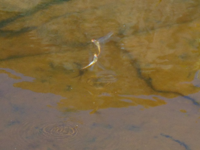
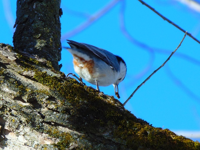
- GROUNDWATER INPUT—In streams connected to the aquifer, the temperature in a flowing segment can be impacted by the influx of cold groundwater. With temperatures ranging from about 52° to 60° Fahrenheit, groundwater will absorb heat from the stream in summer, and warm it in the winter. In warmwater streams, coldwater and coolwater fishes will often seek areas of the substrate where groundwater is entering for use as refugium from the summer heat. Yellow Perch in the lower Susquehanna are known to exhibit this behavior.
-


-
-
- HYPORHEIC EXCHANGE—Related to groundwater input, hyporheic exchange is the slow movement of water through the rock, sand, gravel, and soils composing the streambed, saturated shoreline, shallow aquifer, and connected floodplain of a creek or river. As a heat flux process, hyporheic exchange helps moderate extremes in seasonal water temperatures by conducting energy between the solid materials in the zone and the flowing water. Hyporheic zones are important habitats for many species of aquatic invertebrates and spawning fish. Natural chemical processes within these zones convert ammonia-producing wastes into nitrite, then nitrate, allowing it to be absorbed as food by plants growing in the stream or in the alluvium within the zone. Vegetation removal, channelization, legacy sediments, silt deposits, and man-made walls and dams can negate the benefits of hyporheic exchange.
-


-
-
- ATMOSPHERIC EXCHANGE (CONVECTION, EVAPORATION)—Primarily a process by which a stream loses heat energy and cools its waters, atmospheric exchange is also a means by which a warm air mass can relinquish heat to cooler waters and thus increase their temperature. This phenomenon can be dramatically enhanced when a stream passes through a so-called urban heat island where air temperatures remain warm through the night. Convection, the movement of heat energy through a fluid (liquid or gas), causes warmer, less-dense water to rise to the surface of a stream, particularly where there is minimal turbulence. When the air above is cooler than the water’s surface layer, the stream will conduct heat energy across the water/atmosphere interface causing the warmed air molecules to rise in a convection column. If the atmospheric relative humidity is less than 100%, some surface water will vaporize—a process that expends more of the stream’s heat energy. The rate of convective and evaporative cooling in a given stream segment is directly related to the degree of difference between the water temperature and air temperature, and to the relative humidity in the air mass above the lake, creek, or river. The mechanical action of stream turbulence including rapids, riffles, and falls increases the contact area between air and water to maximize the atmospheric exchange of heat energy. The convective air current we call surface wind has a turbulent wave-producing effect on water that can also maximize atmospheric exchange; think of a cold autumn wind robbing heat energy from a warm lake or river or a hot summer wind imparting its heat to a cooler creek. These exchanges are both conductive in nature (air-to-water/water-to-air) and evaporative, the latter being expedited by the movement of dry air over warm water.
-


-
-
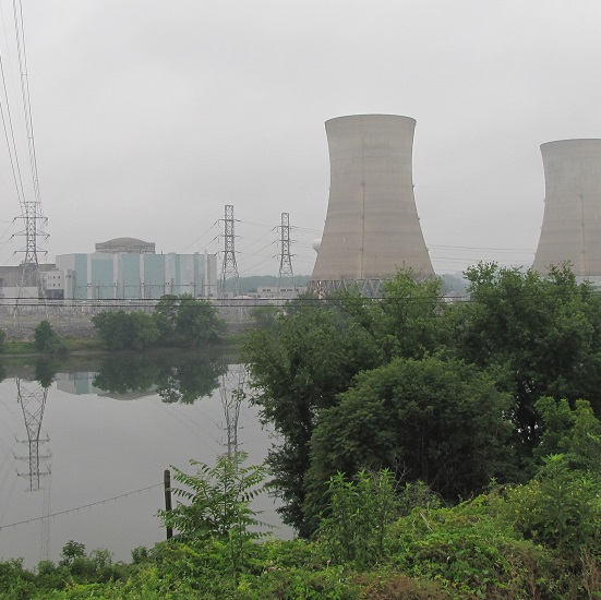
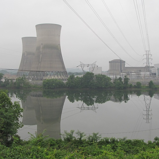
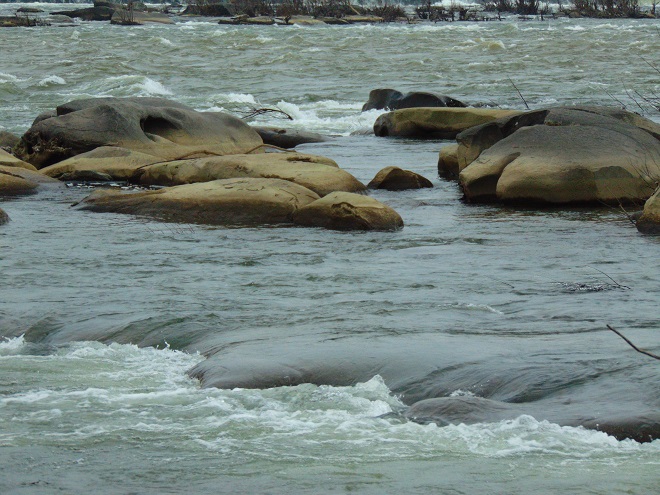
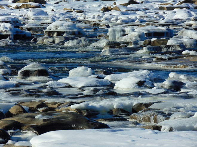
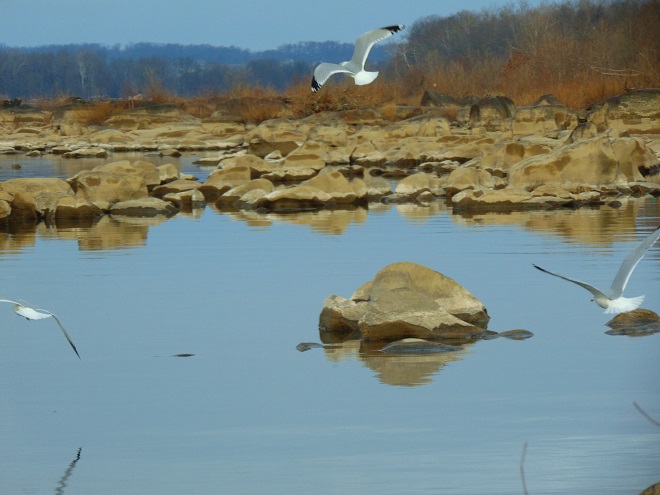
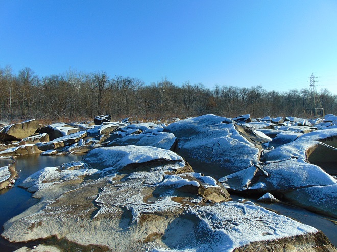
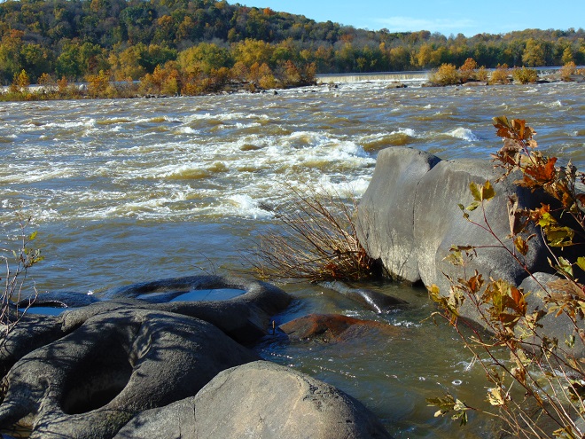
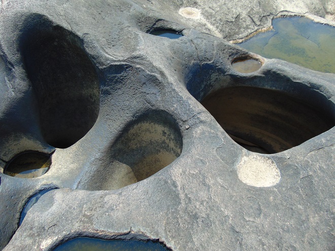
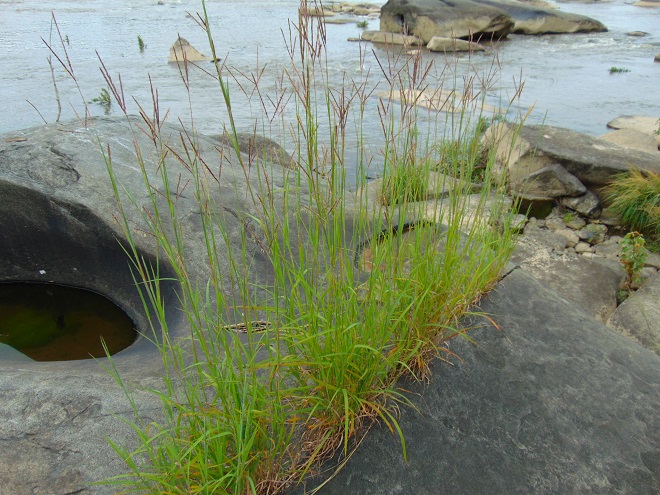
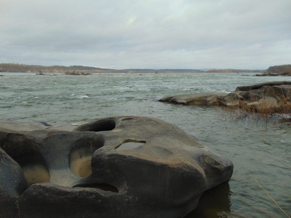
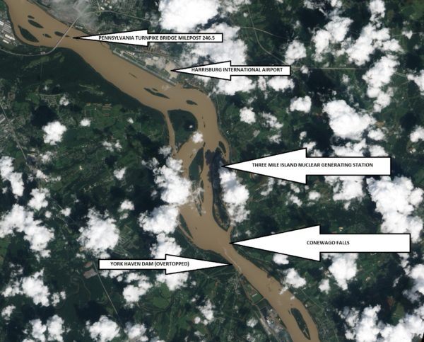
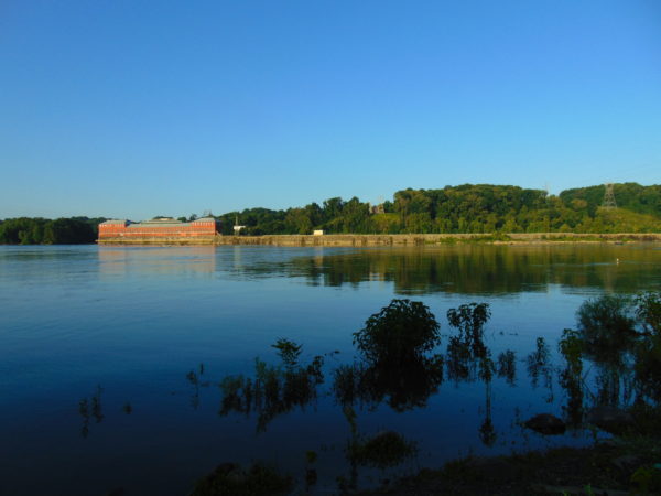
- STREAMBED CONDUCTIVE EXCHANGE—In the lower Susquehanna watershed, there may be no better natural example of streambed conductive exchange than the Triassic-Jurassic diabase pothole bedrocks of Conewago Falls on the river at the south end of Three Mile Island.
-


-
-
- SOLAR (SHORTWAVE) RADIATION—The sun provides the energy that fuels the earth’s complex climate. The primary heat flux process that heats our planet is the absorption of solar radiation in the shortwave spectrum, which includes ultraviolet, visible, and infrared frequencies at the upper end of the longwave spectrum. Streams and other bodies of water absorb the greatest amounts of solar (shortwave) radiation during the weeks around summer solstice when the sun at mid-day is closer to zenith than at any other time of the year. However, the heating impact of the radiation may be greatest when the volume of water in the creek, river, or lake is at its minimum for the year—often during early fall.
-

 Radiation")
-
-
- INCIDENT SHORTWAVE RADIATION—Also known as insolation (incoming solar radiation), incident shortwave radiation is the sum total energy of both the direct solar radiation that travels to the earth’s surface unaffected by the atmosphere and the diffuse radiation, waves that have been weakened and scattered by constituents of the atmosphere before reaching the planet’s surface. On a cloudy day, the warming of terrestrial surfaces including streams and other bodies of water is the result of diffuse radiation. On days with any amount of sunshine at all, both direct and diffuse radiation heat our waters and lands.
-


-
-
- REFLECTED SHORTWAVE RADIATION—known as albedo, reflected solar (shortwave) radiation is energy directed away from the earth’s surface before being absorbed. A surface’s albedo value is basically determined by its color, black having little reflective value, white and silvery surfaces reflecting nearly all solar (shortwave) radiation away. A surface with no reflective properties has an albedo value of 0, while a totally reflective surface has a value of 1. Clean snow with a value of about 0.85 to 0.9 (85% to 90%) is a highly reflective surface; yellow snow isn’t as good. A stream, river, or lake blanketed with ice and snow will absorb very little solar energy and will rely upon other heat flux processes to trigger a melt and thaw. The surface of open water has a varying albedo value determined mostly by the angle of the sun. Solar radiation striking the water’s surface at a low angle is mostly reflected away, while that originating at an angle closer to zenith is more readily absorbed.
-

-
-
- LONGWAVE RADIATION—Radiation in the longwave spectrum is composed of infrared waves at frequencies lower than those of the shortwave spectrum. Longwave radiation, sometimes just called infrared radiation, is produced by the earth and its atmosphere and is propagated in all directions, day and night. It warms mostly the lower atmosphere which in turn warms the earth’s surface including its waters. Some longwave energy can even be radiated into the waterway from its own streambed—and the stream can return the favor. Other forms of mass surrounding a stream such as a rocky shoreline or a man-made structure such as bridge pier can trade longwave radiation with a waterway. The effect of these latter exchanges is largely trivial and never rivals the heat flux transfer of warm to cold provided by conduction.
-

-
-
- CANOPY RADIATION—Trees emit longwave radiation that may have a limited heat flux impact on waterway temperature. This radiation is diffuse, of scattered effect, and scarcely detectable, particularly beneath multilayered dense canopies. Some of the infrared energy transmitted by the tree canopy is radiated skyward as well.
- WATER RADIATION—Water, like all earthly matter composed of vibrating molecules, emits longwave radiation. This heat flux process provides an ongoing cooling effect to streams, rivers, lakes, and oceans—warmer ones shedding infrared energy at a faster rate than those that are cold.
-
Now that we have a basic understanding of the heat flux processes responsible for determining the water temperatures of our creeks and rivers, let’s venture a look at a few graphics from gauge stations on some of the lower Susquehanna’s tributaries equipped with appropriate United States Geological Survey monitoring devices. While the data from each of these stations is clearly noted to be provisional, it can still be used to generate comparative graphics showing basic trends in easy-to-monitor parameters like temperature and stream flow.
Each image is self-labeled and plots stream temperature in degrees Fahrenheit (bold blue) and stream discharge in cubic feet per second (thin blue).

The daily oscillations in temperature reflect the influence of several heat flux processes. During the day, solar (shortwave) radiation and convection from summer air, especially those hot south winds, are largely responsible for the daily rises of about 5° F. Longwave radiation has a round-the-clock influence—adding heat to the stream during the day and mostly shedding it at night. Atmospheric exchange including evaporative cooling may help moderate the rise in stream temperatures during the day, and certainly plays a role in bringing them back down after sunset. Along its course this summer, the West Conewago Creek absorbed enough heat to render it a warmwater fishery in the area of the gauging station. The West Conewago is a shallow, low gradient stream over almost its entire course. Its waters move very slowly, thus extending their exposure time to radiated heat flux and reducing the benefit of cooling by atmospheric exchange. Fortunately for bass, catfish, and sunfish, these temperatures are in the ideal range for warmwater fishes to feed, grow, and reproduce—generally over 80° F, and ideally in the 70° to 85° F range. Coolwater fishes though, would not find this stream segment favorable. It was consistently above the 80° F maximum and the 60° to 70° F range preferred by these species. And coldwater fishes, well, they wouldn’t be caught dead in this stream segment. Wait, scratch that—the only way they would be caught in this segment is dead. No trouts or sculpins here.

Look closely and you’ll notice that although the temperature pattern on this chart closely resembles that of the West Conewago’s, the readings average about 5 degrees cooler. This may seem surprising when one realizes that the Codorus follows a channelized path through the heart of York City and its urbanized suburbs—a heat island of significance to a stream this size. Before that it passes through numerous impoundments where its waters are exposed to the full energy of the sun. The tempering factor for the Codorus is its baseflow. Despite draining a smaller watershed than its neighbor to the north, the Codorus’s baseflow (low flow between periods of rain) was 96 cubic feet per second on August 5th, nearly twice that of the West Conewago (51.1 cubic feet per second on August 5th). Thus, the incoming heat energy was distributed over a greater mass in the Codorus and had a reduced impact on its temperature. Though the Codorus is certainly a warmwater fishery in its lower reaches, coolwater and transitional fishes could probably inhabit its tributaries in segments located closer to groundwater sources without stress. Several streams in its upper reaches are in fact classified as trout-stocked fisheries.


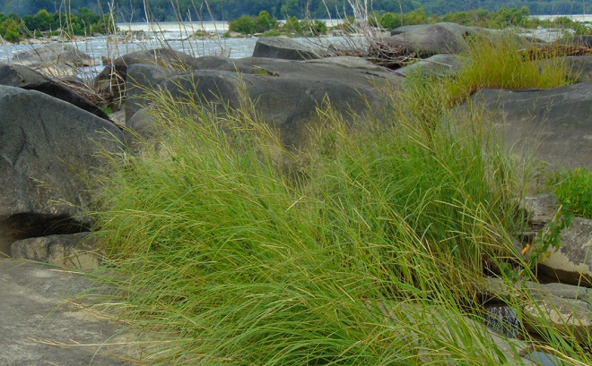
The Kreutz Creek gauge shows temperature patterns similar to those in the West Conewago and Codorus data sets, but notice the lower overall temperature trend and the flow. Kreutz Creek is a much smaller stream than the other two, with a flow averaging less than one tenth that of the West Conewago and about one twentieth of that in the Codorus. And most of the watershed is cropland or urban/suburban space. Yet, the stream remains below 80° F through most of the summer. The saving graces in Kreutz Creek are reduced exposure time and gradient. The waters of Kreutz Creek tumble their way through a small watershed to enter the Susquehanna within twenty-four hours, barely time to go through a single daily heating and cooling cycle. As a result, their is no chance for water to accumulate radiant and convective heat over multiple summer days. The daily oscillations in temperature are less amplified than we find in the previous streams—a swing of about three degrees compared to five. This indicates a better balance between heat flux processes that raise temperature and those that reduce it. Atmospheric exchange in the stream’s riffles, forest cover, and good hyporheic exchange along its course could all be tempering factors in Kreutz Creek. From a temperature perspective, Kreutz Creek provides suitable waters for coolwater fishes.

Muddy Creek is a trout-stocked fishery, but it cannot sustain coldwater species through the summer heat. Though temperatures in Muddy Creek may be suitable for coolwater fishes, silt, nutrients, low dissolved oxygen, and other factors could easily render it strictly a warmwater fishery, inhabited by species tolerant of significant stream impairment.

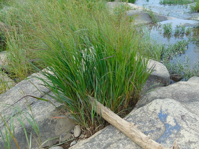
A significant number of stream segments in the Chiques watershed have been rehabilitated to eliminate intrusion by grazing livestock, cropland runoff, and other sources of impairment. Through partnerships between a local group of watershed volunteers and landowners, one tributary, Donegal Creek, has seen riparian buffers, exclusion fencing, and other water quality and habitat improvements installed along nearly ever inch of its run from Donegal Springs through high-intensity farmland to its mouth on the main stem of the Chiques just above its confluence with the Susquehanna. The improved water quality parameters in the Donegal support native coldwater sculpins and an introduced population of reproducing Brown Trout. While coldwater habitat is limited to the Donegal, the main stem of the Chiques and its largest tributary, the Little Chiques Creek, both provide suitable temperatures for coolwater fishes.


Despite its meander through and receipt of water from high-intensity farmland, the temperature of the lower Conewago (East) maxes out at about 85° F, making it ideal for warmwater fishes and even those species that are often considered coolwater transition fishes like introduced Smallmouth Bass, Rock Bass, Walleye, and native Margined Madtom. This survivable temperature is a testament to the naturally occurring and planted forest buffers along much of the stream’s course, particularly on its main stem. But the Conewago suffers serious baseflow problems compared to other streams we’ve looked at so far. Just prior to the early August storms, flow was well below 10 cubic feet per second for a drainage area of more than fifty square miles. While some of this reduced flow is the result of evaporation, much of it is anthropogenic in origin as the rate of groundwater removal continues to increase and a recent surge in stream withdraws for irrigation reaches its peak during the hottest days of summer.


A little side note—the flow rate on the Conewago at the Falmouth gauge climbed to about 160 cubic feet per second as a result of the remnants of Hurricane Debby while the gauge on the West Conewago at Manchester skyrocketed to about 20,000 cubic feet per second. Although the West Conewago’s watershed (drainage area) is larger than that of the Conewago on the east shore, it’s larger only by a multiple of two or three, not 125. That’s a dramatic difference in rainfall!

The temperatures at the Bellaire monitoring station, which is located upstream of the Conewago’s halfway point between its headwaters in Mount Gretna and its mouth, are quite comparable to those at the Falmouth gauge. Although a comparison between these two sets of data indicate a low net increase in heat absorption along the stream’s course between the two points, it also suggests sources of significant warming upstream in the areas between the Bellaire gauge and the headwaters.

The waters of the Little Conewago are protected within planted riparian buffers and mature woodland along much of their course to the confluence with the Conewago’s main stem just upstream of Bellaire. This tributary certainly isn’t responsible for raising the temperature of the creek, but is instead probably helping to cool it with what little flow it has.

Though mostly passing through natural and planted forest buffers above its confluence with the Little Conewago, the main stem’s critically low baseflow makes it particularly susceptible to heat flux processes that raise stream temperatures in segments within the two or three large agricultural properties where owners have opted not to participate in partnerships to rehabilitate the waterway. The headwaters area, while largely within Pennsylvania State Game Lands, is interspersed with growing residential communities where potable water is sourced from hundreds of private and community wells—every one of them removing groundwater and contributing to the diminishing baseflow of the creek. Some of that water is discharged into the stream after treatment at the two municipal sewer plants in the upper Conewago. This effluent can become quite warm during processing and may have significant thermal impact when the stream is at a reduced rate of flow. A sizeable headwaters lake is seasonally flooded for recreation in Mount Gretna. Such lakes can function as effective mid-day collectors of solar (shortwave) radiation that both warms the water and expedites atmospheric exchange.
 Watershed")
Though Conewago Creek (East) is classified as a trout-stocked fishery in its upper reaches in Lebanon County, its low baseflow and susceptibility to warming render it inhospitable to these coldwater fishes by late-spring/early summer.


The removal of two water supply dams on the headwaters of Hammer Creek at Rexmont eliminated a large source of temperature fluctuation on the waterway, but did little to address the stream’s exposure to radiant and convective heat flux processes as it meanders largely unprotected out of the forest cover of Pennsylvania State Game Lands and through high-intensity farmlands in the Lebanon Valley. Moderating the temperature to a large degree is the influx of karst water from Buffalo Springs, located about two miles upstream from this gauging station, and other limestone springs that feed tributaries which enter the Hammer from the east and north. Despite the cold water, the impact of the stream’s nearly total exposure to radiative and other warming heat flux processes can readily be seen in the graphic. Though still a coldwater fishery by temperature standards, it is rather obvious that rapid heating and other forms of impairment await these waters as they continue flowing through segments with few best management practices in place for mitigating pollutants. By the time Hammer Creek passes back through the Furnace Hills and Pennsylvania State Game Lands, it is leaning toward classification as a coolwater fishery with significant accumulations of sediment and nutrients. But this creek has a lot going for it—mainly, sources of cold water. A core group of enthusiastic landowners could begin implementing the best management practices and undertaking the necessary water quality improvement projects that could turn this stream around and make it a coldwater treasure. An organized effort is currently underway to do just that. Visit Trout Unlimited’s Don Fritchey Chapter and Donegal Chapter to learn more. Better yet, join them as a volunteer or cooperating landowner!


For coldwater fishes, the thousands of years since the most recent glacial maximum have seen their range slowly contract from nearly the entirety of the once much larger Susquehanna watershed to the headwaters of only our most pristine streams. Through no fault of their own, they had the misfortune of bad timing—humans arrived and found coldwater streams and the groundwater that feeds them to their liking. Some of the later arrivals even built their houses right on top of the best-flowing springs. Today, populations of these fishes in the region we presently call the Lower Susquehanna River Watershed are seriously disconnected and the prospect for survival of these species here is not good. Stream rehabilitation, groundwater management, and better civil planning and land/water stewardship are the only way coldwater fishes, and very possibly coolwater fishes as well, will survive. For some streams like Hammer Creek, it’s not too late to make spectacular things happen. It mostly requires a cadre of citizens, local government, project specialists, and especially stakeholders to step up and be willing to remain focused upon project goals so that the many years of work required to turn a failing stream around can lead to success.


You’re probably glad this look at heat flux processes in streams has at last come to an end. That’s good, because we’ve got a lot of work to do.