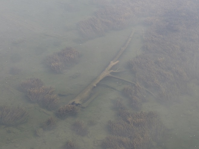
Soon after their arrival during the late 1600s, the earliest trans-Atlantic human migrants to settle the Lower Susquehanna River Watershed began the process of eliminating many of our largest native fish species. They started by extirpating nature’s steward of lowland streams and wetlands, the North American Beaver. The beaver’s meticulously maintained dams and fisheries-friendly pools were promptly replaced by man-made impoundments designed to permanently divert water for powering lumber and grain mills. Behind these structures, silt deposits accumulated as the forests were clear cut and the land subjected to highly erosive farming methods. Mill dams would eventually be located on nearly every mile of suitable low-gradient stream in the basin. Populations of native coldwater fishes including Brook Trout were quickly lost or left isolated in scattered headwaters.
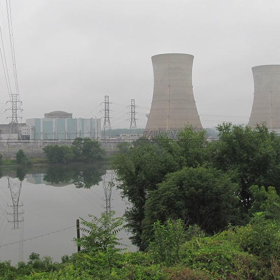
With their navigation of creeks blocked by nearly impenetrable mill dams, seasonally migratory freshwater and anadromous fish were denied access to their traditional spawning waters. The latter then had their populations seriously depleted, and in some cases extirpated, following construction of hydroelectric dams on the lower Susquehanna during the first half of the twentieth century. The loss these latter species, including the herrings, Striped Bass, and sturgeons, all of which attain great size only because of their ability to make a sea run to access the year-round food energy available in the Atlantic, constitute a tremendous reduction in the numbers, variety, and mass of fish occurring in the river and its tributaries.
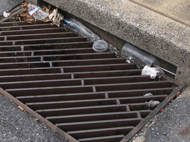
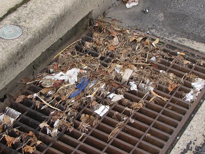
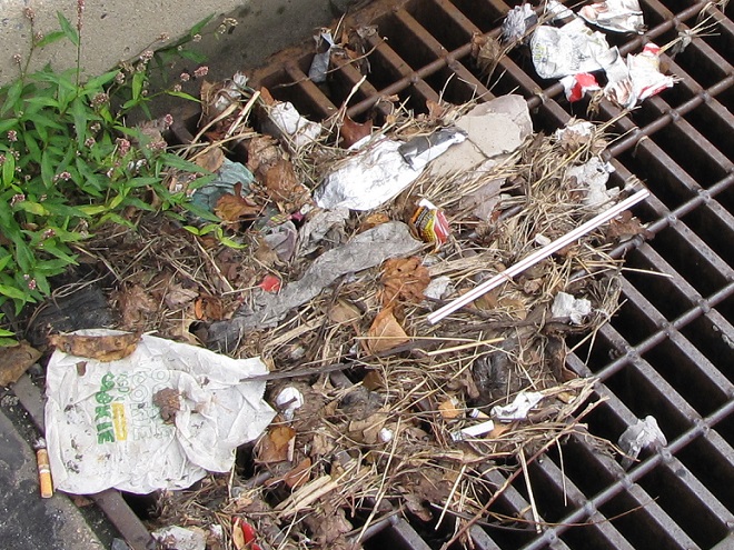
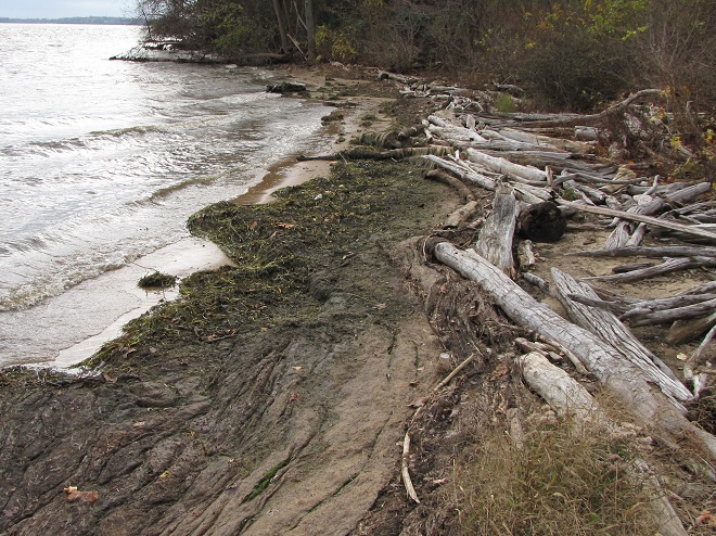
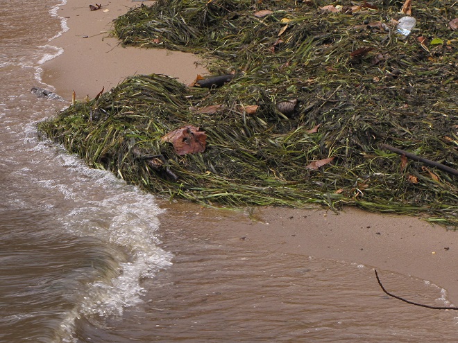
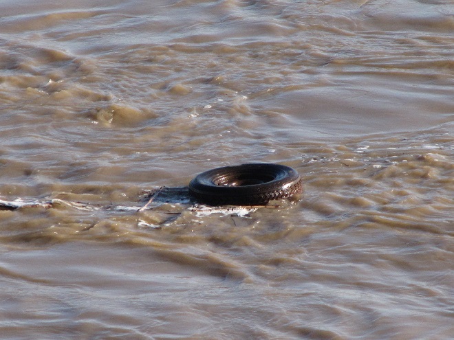
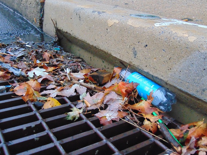
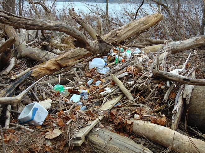
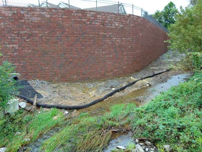
Add to these events the various sources of pollution entering the lower Susquehanna’s waterways during the intervening years including acid mine drainage, agricultural nutrients and sediments, stormwater runoff, untreated domestic and industrial sewage, illegal dumping, pesticides, etc., and one can easily understand how the watershed’s native fishery was lost as a commercial, food, and recreational resource.
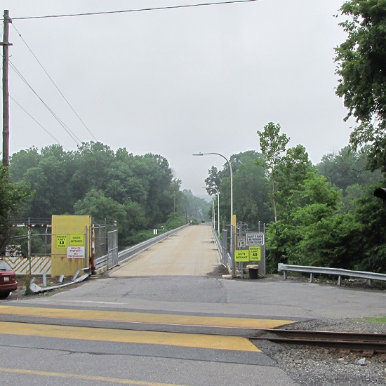
Presently, the effort to restore populations of self-sustaining anadromous fishes to the lower Susquehanna is stalled due to the presence of introduced invasive species, particularly Northern Snakeheads, in the river’s waters below Conowingo Dam. Lifts that carry migrating fishes over the lower river’s hydroelectric dams during the spring run are shut down to avoid extending the range of the hoards of non-native snakeheads to waters upstream of their present location. Any translocation of anadromous fish must now be completed by manually separating desired species from among the invaders and loading them into a tank truck for transport to waters upstream of the dams. But Northern Snakeheads are currently so prevalent at Conowingo that they are overwhelming the lift used for collecting and sorting fish as well.
Any slight hope that had existed for a return of harvestable stocks of American Shad or other sea-run native species to the Susquehanna and its tributaries seems to be fading. And widespread improvements to water quality that would promote reestablishment of sustained populations of native coldwater fishes like Brook Trout are strictly a long-range goal.
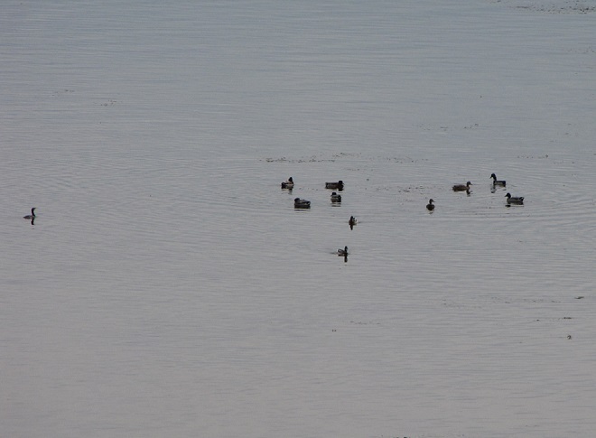
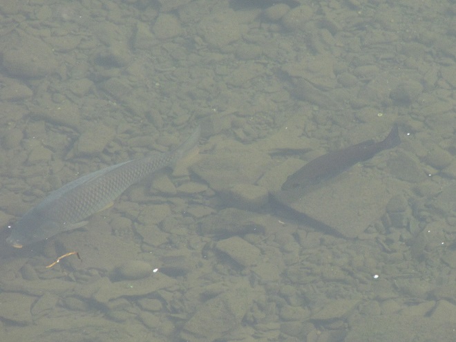
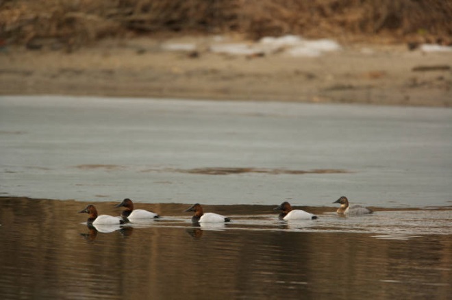
Recreational anglers, however, still remain in the game—but their reward is a bit of a booby prize. To compensate fisherman for the loss of their quarry on the river and in streams, and to promote an interest in the fishing pastime and conserving waterways, the stocking of various species of “game fish” has been a continuous undertaking, particular since the middle decades of the twentieth century. Some of these introductions are planned, others, like the release of Northern Snakeheads, are unsanctioned and outright illegal. The one thing most introductions have in common is that they consist of hardy, aggressive, predatory fishes that are non-native species (or native transplants from watersheds such as the Mississippi). Their presence, especially in large concentrations and particularly during the time immediately following introduction, can have a deleterious impact on native stream inhabitants. Some introduced fish, the Flathead Catfish for example, are upon discovery deemed invasive species; others, like the Smallmouth Bass, escape such a label not because they lack negative impacts on stream communities and ecosystems, but because they have been present for extended periods of time and have thus been accepted as part of the local fishing culture.


The creation of recreational fisheries comprised of introduced species has certainly helped maintain an interest in the fishing hobby and in the conservation of waterways. It has even been a driving force for spectacular restorations of streams that otherwise would have languished in an impaired condition with little in the way of diversity of species—native or non-native. As anglers, we are especially indebted to those who’ve devoted their time, energies, and, in some cases, a lot of money to projects that specifically seek to reestablish native waterways within the challenging landscape of the Lower Susquehanna River Watershed. With an eye on the future, perhaps now is a good time to join them and focus our passion for freshwater angling on steering fisheries management more toward the native ecosystems approach—quality instead of quantity.
In that spirit, here are three items we can add to our tackle boxes this season to be better fisheries conservationists, instead of our own worst enemies.


Best of luck this fishing season. We hope your time outdoors will motivate you to get involved with efforts to keep your local waterways clean. You might even be inspired to assist with projects that are planned or currently underway in the Lower Susquehanna River Watershed to restore stream segments, wetlands, and floodplains. Many of these projects are grassroots efforts and they’d love to have your participation. Your local county conservation district can steer you towards an active restoration group near you. Give them a ring.