
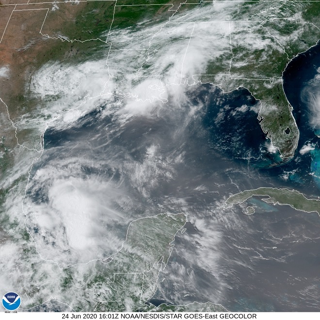
The Saharan dust cloud made its way across the Caribbean Sea and the Gulf of Mexico to reach the skies above the shores of the United States by mid-day yesterday. There, as seen in the image below, the dusty air mass encountered a storm that caused heavy rains and flooding in Louisiana.
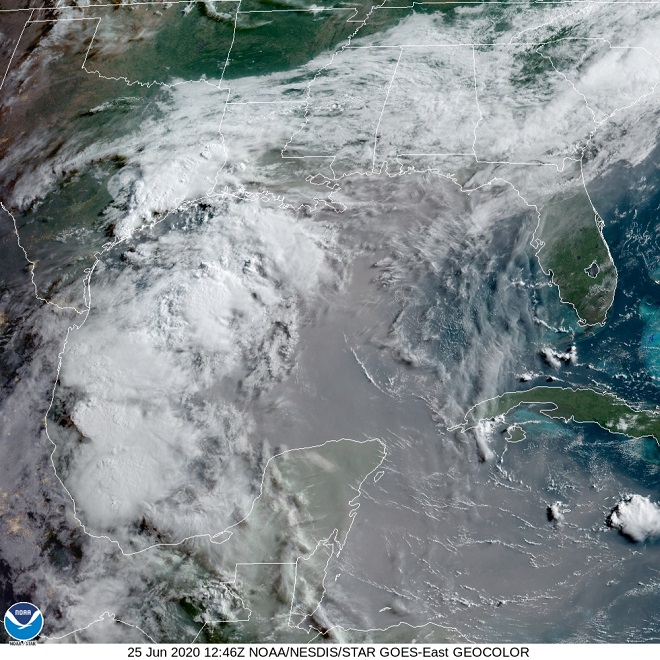
By this morning, the leading edge of the dust cloud encircled the gulf coastline and had spread east across northern Florida into the Atlantic. The latest satellite image (below) shows a dense dry core of the system covering the western Caribbean, the central gulf, and the Yucatan Peninsula.
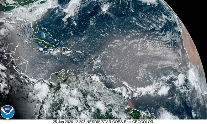
For the eastern Caribbean, there is a break in the action. But a second wave is on the way.
Start watching the skies. Look for any increase in haze during the coming days. Then too, it might be interesting to compare the sunsets for one evening to the next. Over successive nights, take note of the stars and planets in the night sky. If the Saharan dust reaches the lower Susquehanna region with sufficient density, you may find that only the brightest celestial objects are discernible.