Saharan Dust Cloud: A Tale of Two Tropical Storms

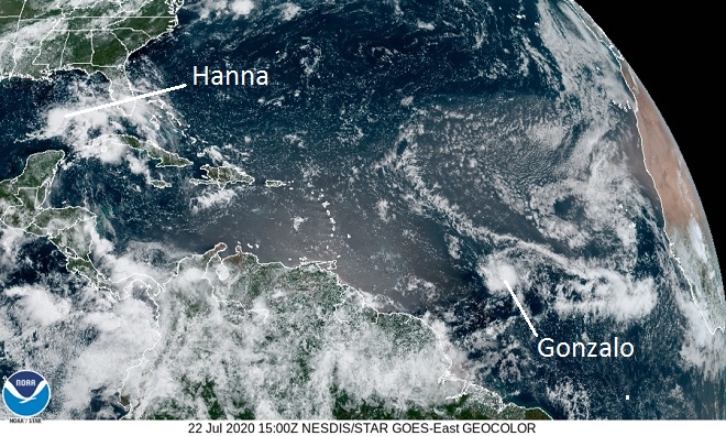
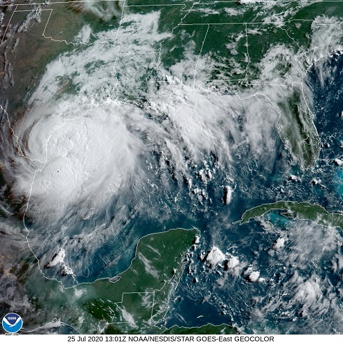
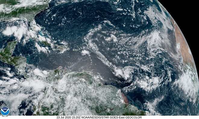
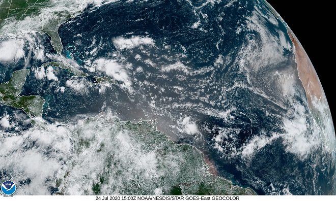
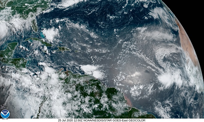
Have a look at the effect of the Saharan dust event of 2020 on tropical storm and hurricane development…

Wednesday-  Earlier in the week, Tropical Storm Gonzalo developed in the Atlantic Ocean along the south edge of a gap between two waves of Saharan dust.  Forecast models predicted Gonzalo would strengthen to a hurricane as it moved west into the Caribbean Sea in the coming days.  A tropical depression in the Gulf of Mexico was also being monitored.  Should it intensify, it would be named Tropical Storm Hanna.  (CIRA/NOAA image)
Thursday-  Tropical Storm Gonzalo continues its westward track.  Note the pinching of the two waves of Saharan dust around its north side.  In the gulf, soon-to-be Tropical Storm Hanna gathers strength over the warm water, free of the convective restrictions imposed by Saharan dust.  (CIRA/NOAA image)
Friday-  Tropical Storm Gonzalo is caught in the pinch of Saharan dust, diminishing its potential for growth.  The system’s feeder bands are nearly gone.  The forecast is downgraded; Gonzalo is expected to remain a tropical storm during its passage through the Caribbean.  Looking more robust, Tropical Storm Hanna approaches the coasts of Texas and Louisiana.  (CIRA/NOAA image)
Saturday-  With upper-level convection subdued by an overcast of Saharan particulates and dry desert air, Tropical Storm Gonzalo is becoming less organized and is forecast to be downgraded to a tropical depression within 24 hours.  (CIRA/NOAA image)
Meanwhile, Tropical Storm Hanna has strengthen to Hurricane Hanna.  A humid atmosphere free of a dense plume of Saharan dust has allowed this storm to develop towering cloud convection, visible here just off the coast of Texas.  (CIRA/NOAA image)

Leave a Reply

Your email address will not be published. Required fields are marked *