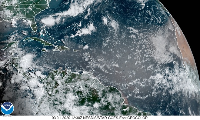
The overcast of Saharan dust that was as close to the Susquehanna valley as the Appalachians of Virginia and West Virginia has, for now, dissipated. This week, the plume of particulates followed a hairpin route originating with the Saharan updrafts, then flowing across the Atlantic and Caribbean only to make a 180-degree turn along the coastal areas of the Gulf of Mexico to return to the Atlantic via Florida, where it then drifted northeast—loosely following the path of the Gulf Stream.
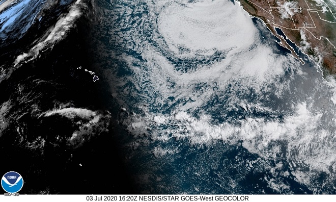
During the last several days, portions of the dust layer have been carried due west across Mexico into the Pacific.
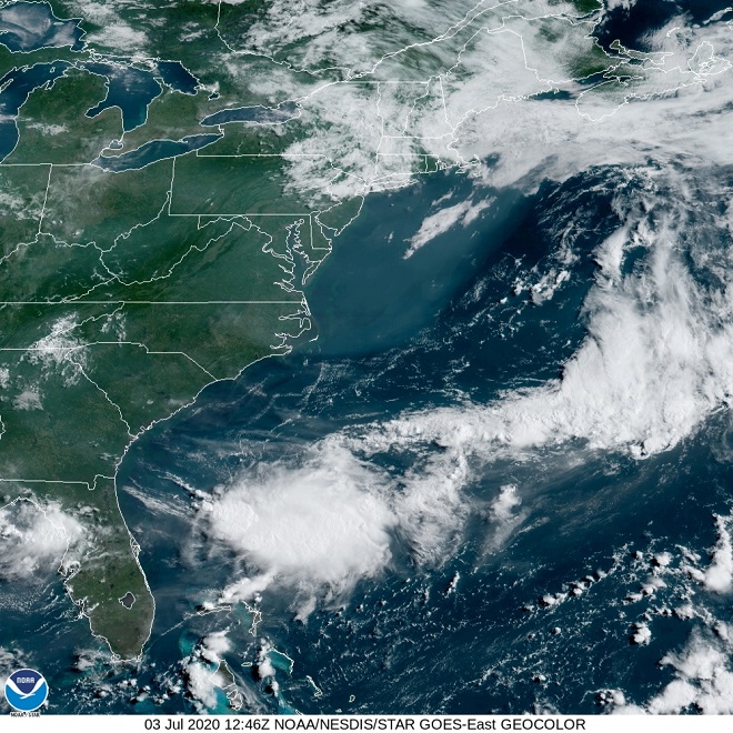
For the Susquehanna region, a low pressure system is in place for Independence Day. In the image below, the cloud of hazy humid air seen blanketing the northeast coast consists of air pollution, pollen, mold spores, “domestic particulates”, condensing water vapor—and little if any red-brown Saharan dust. For the gasoline and gunpowder gang, it’ll be a sticky-hot summer weekend for the celebration of their favorite holiday. Kaboom!